
Laugavegur Trail - Day 1, 2, 3, The Film
Emstrur to Þórsmörk
DATE 20.07.2015 | DISTANCE approx 15KM |
Posted by Matt | Filed under OTHER LOCATIONS
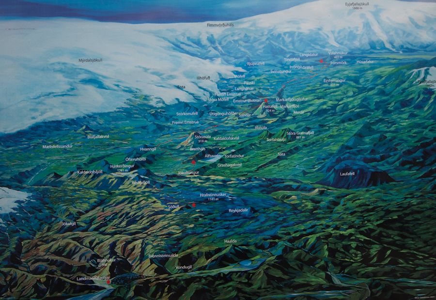 CLICK FOR LARGER MAP

Download GPX file
(I found this gpx route online and rarely needed to use my gps so i cant guarantee accuracy)
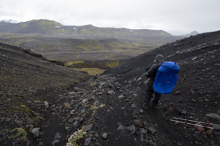
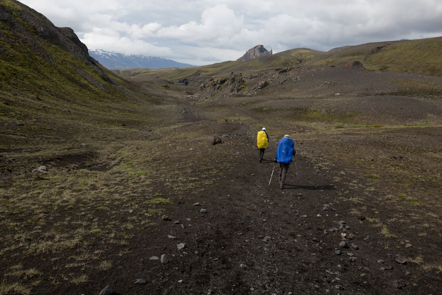
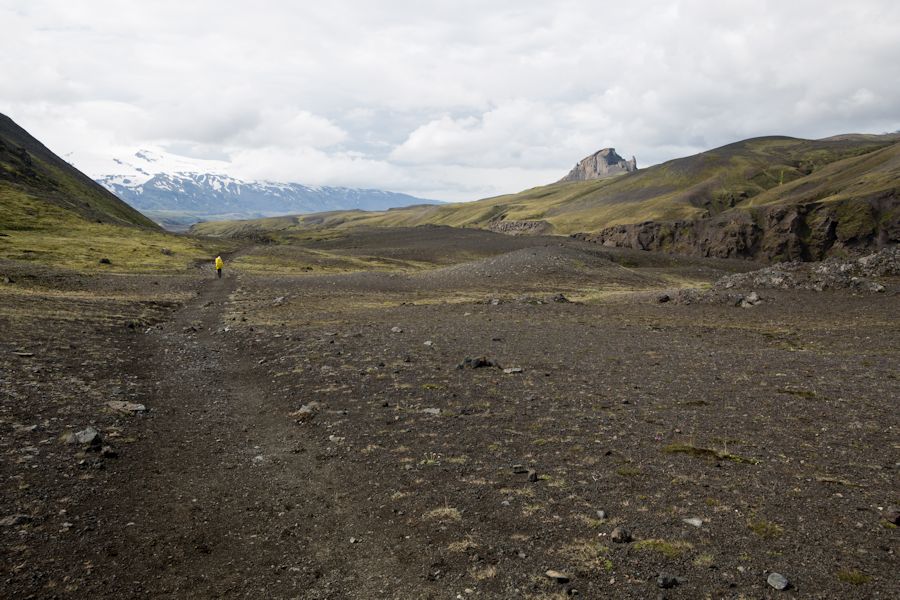
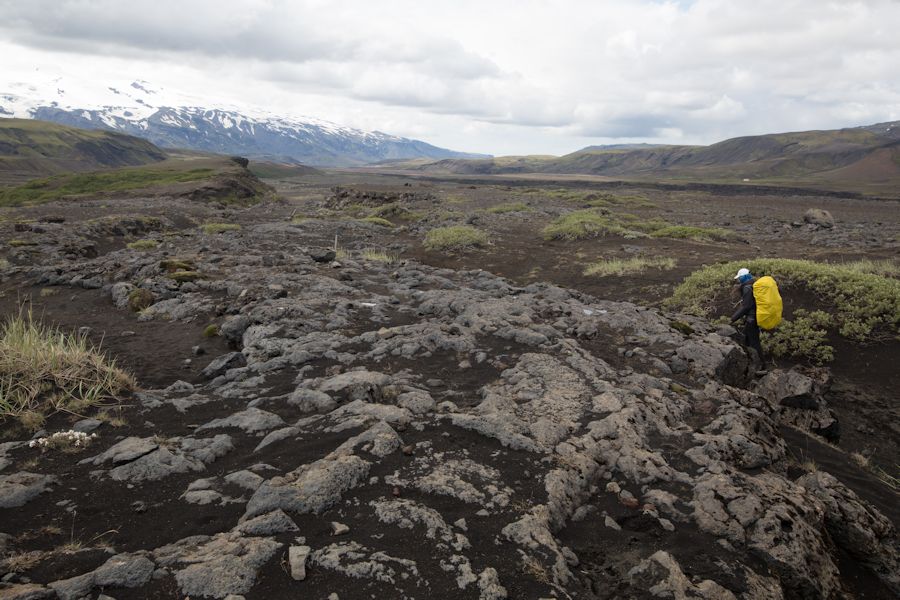
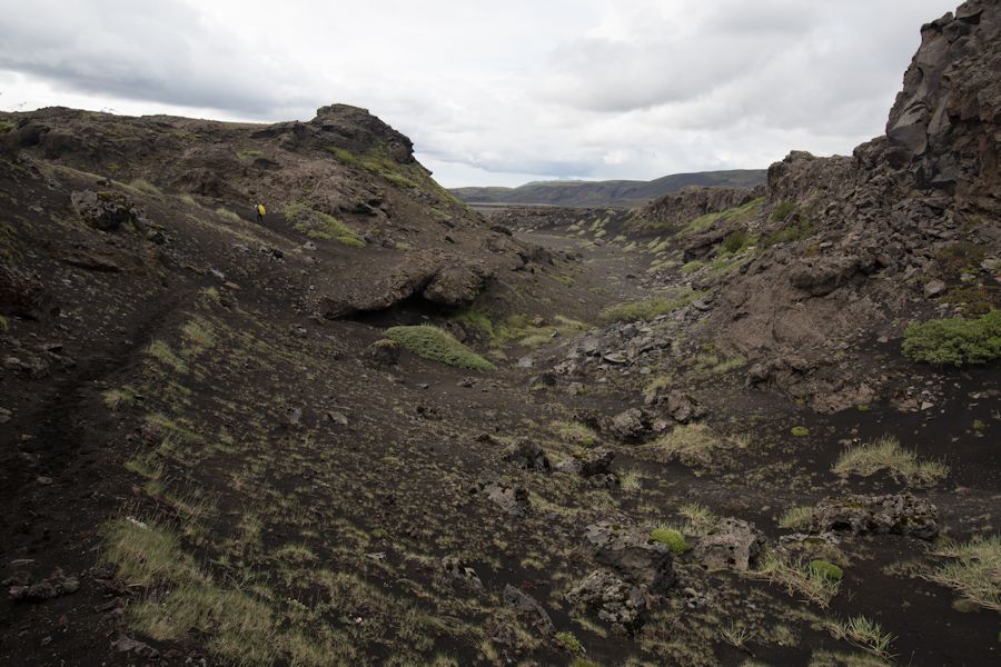
The last day of the Laugavegur Trail and it looks like our luck may have ran out. We woke to rain on the tent this morning and it didn't look as though it was going to let up any time soon. Fortunately that is just how it looked and in actual fact the rain completely stopped within 40 minutes of walking. in keeping with the pattern so far, today was another day that felt completely different to the others. Day one was high level snow, day two was a flat black desert but today became greener and richer in vegetation. and to our surprise we even saw trees. Now this section of the walk has potential risk that isn't obvious. there were signs that detailed escape routes in case the nearby katla volcano started to erupt. part of this volcano is under a glacier so even a slight rumble can send a met water flash flood down through the gorges and valleys we were walking amongst. Looking at this landscape really showed signs of these past occurrences. parts of this walk did in fact resemble river beds or maybe that's just from past basalt flows.
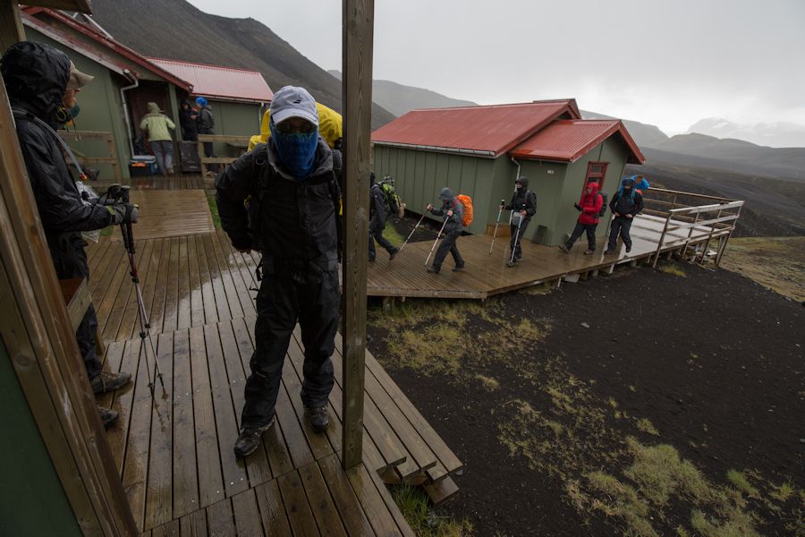
Starting a little later this morning as we had hoped the rain would have stopped
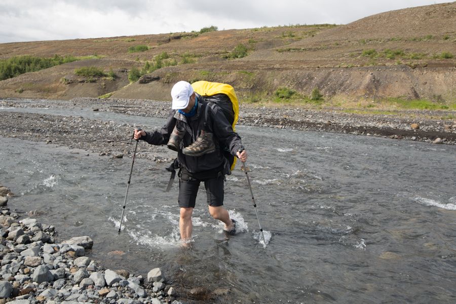
Shortly after we left camp i had a slip on a rock whist crossing a stream. I ended up with my feet planted in the bottom of the stream as the water flowed over into my boots. this meant a quick change of socks whilst stood in the rain. oh well i thought, no doubt the boots will be coming off again later today.
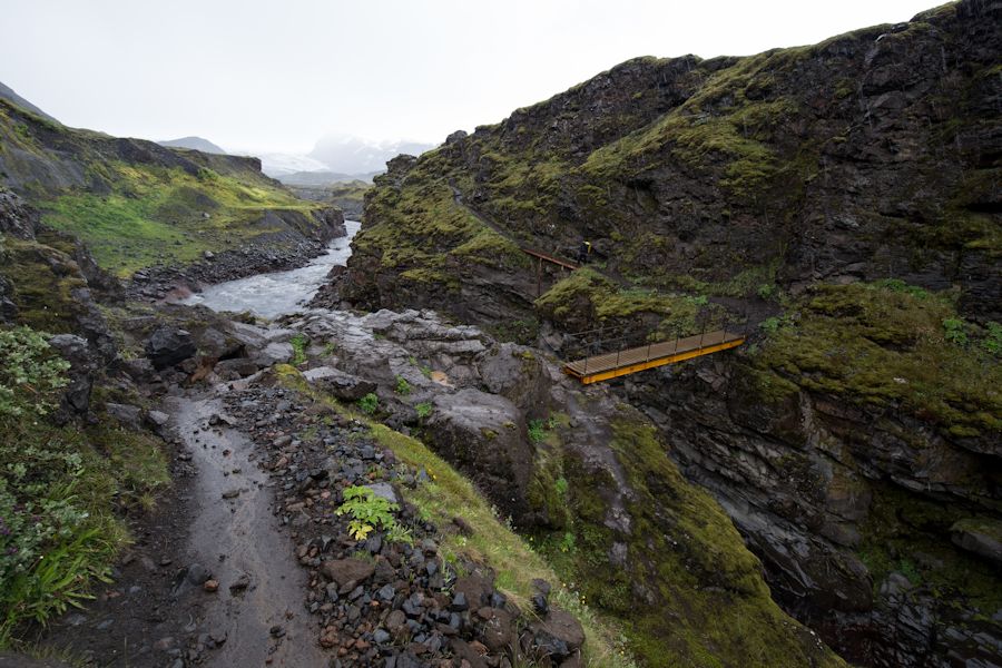
Still raining heavily at this point. we used the fixed chain to descend down to this platform here and didn't linger for long on the bridges. i really did a good job on this trip protecting my camera.
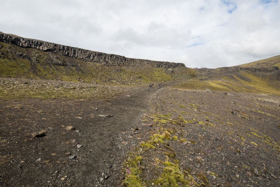
and it stops raining just in time as we reach this stunning basalt cliff. luck us
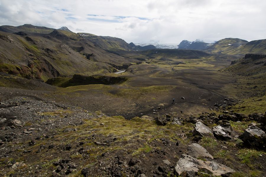
looking back from the basalt cliff to the sand flat below and the entujokull glacier in the distance.
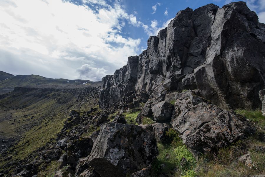
the basalt cliff up close formed by a thick lava flow.
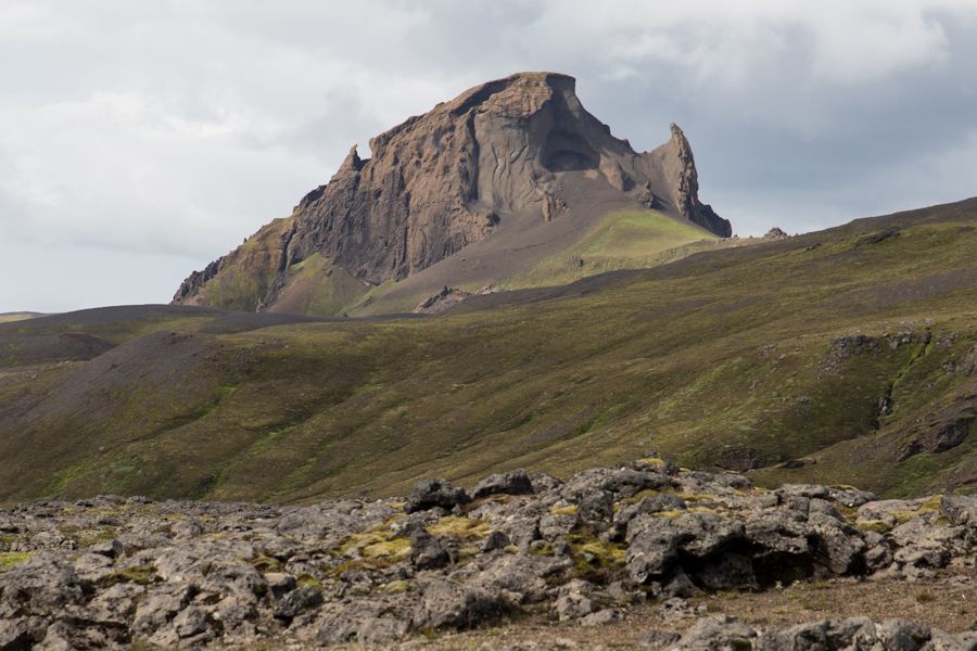
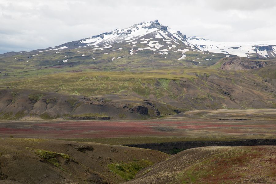
Einhyrningur poking up in the distance and looking rather sinister
Zooming in it certainly ha some rather alien features. i think it looks like a giant parasite. it actually translates to 'Unicorn'.
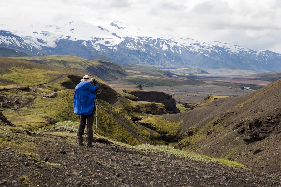
Looking out to recently famous eyjafjallajokull
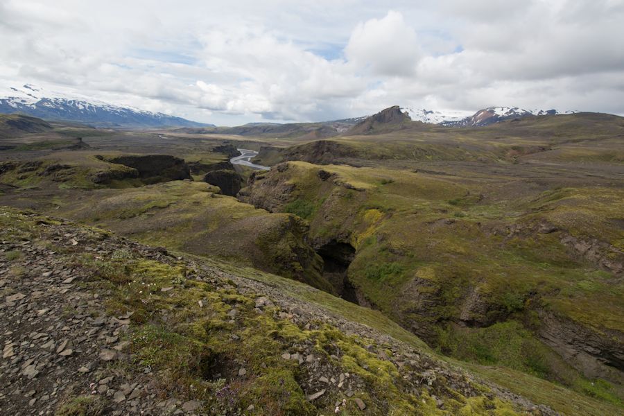
an impressive narrow canyon
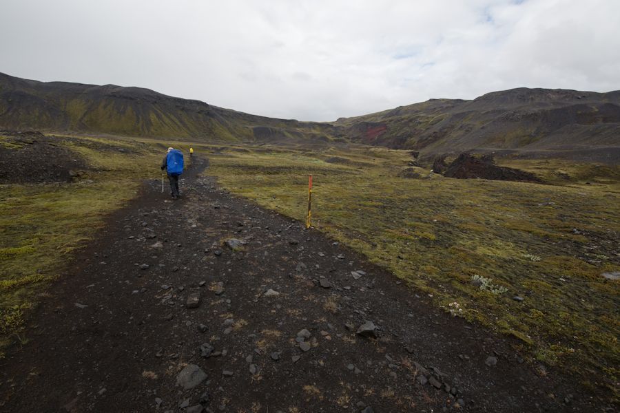
those reliable marker posts did a cracking job at keeping us heading in the right direction. whoever maintains them deserves a pat on the back.
rjupnafell - This photo is missing a dinosaur!
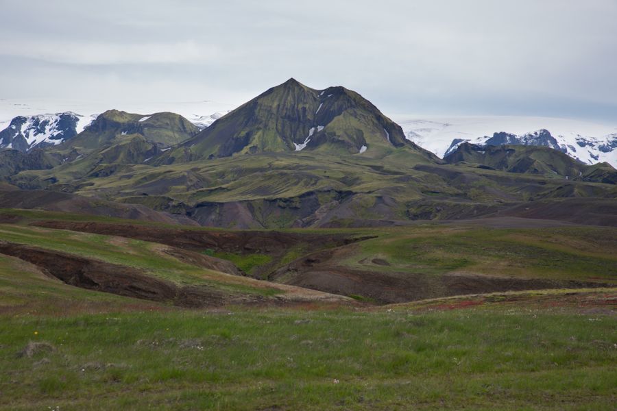
Tindfjöll
now seasoned river crossers
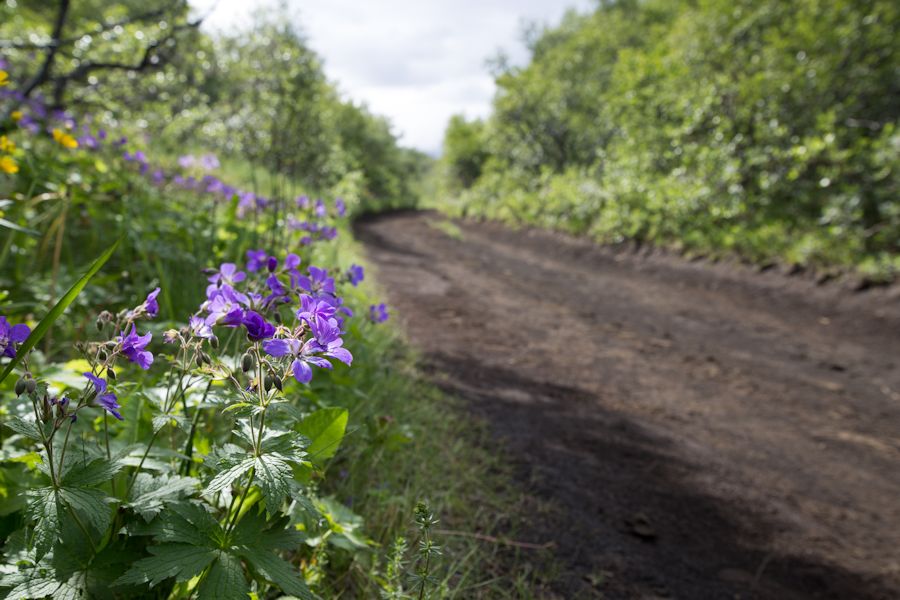
trees!
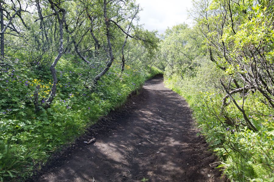
not only trees but loads of flowers too. Þórsmörk is some sort of an oasis
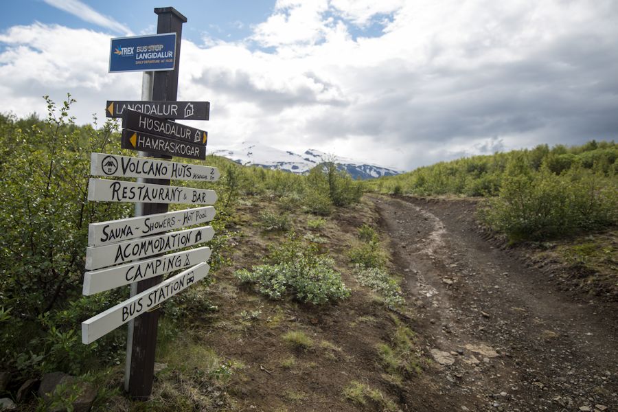
it says bar!!
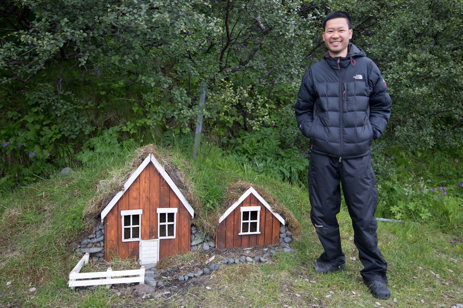
alan found these houses in Þórsmörk. He felt big for a change :)
That night we had a buffet dinner of pork, creamy potatoes and veg with a few beers. so needed!
That's the end of our incredible and diverse journey on the laugavegur trail. i will definitely want to do it again some day as it's the best walking i have ever done!!
here are a few tips if you end up doing this yourself -
1. Get the SERKORT 4 MAP - LANDMANNALAUGAR Þórsmörk FJALLABAK 1:100 000
2. GET THE BOOK - THE LAUGAVEGUR TRAIL BY BRIAN W. ZIMMER - IT DOES A GOOD JOB OF DETAILING THE ROUTE BUT ALSO COVERS SOME SHORT EXCURSIONS FROM EACHOF THE CAMPS.
3. TAKE SOME SORT OF SANDLES FOR THE RIVER CROSSING
4. TAKE SOME BLOODY SUNGLASSES!
