Scafell Pike from Seathwaite
DATE 20.03.2016 | DISTANCE approx 12KM | HIGHEST POINT 978M
Posted by Matt | Filed under lake DISTRICT
Download GPX file
Another day in the Lakes and more superb weather! How lucky we were feeling and you never know what's around the corner whilst in this part of the country. Today's walk we have done several times because it's so good! Lot's of great scenery, a vast array of views and summiting the top of England. I was a bit apprehensive though this morning... Yesterday Noah managed High Spy and he really impressed me as it was the highest he had climbed so far, today though was a whole different league. I figured freeing him up from anything to carry would help in his success but what worried me more as we ascended was his habit of running around like a hyper dog and constantly wanting to throw stones over the edges. "Stop wasting energy" i would say. Anyway we ascended through grains gill, summited and returned via the corridor route and past styhead tarn. Noah barely broke a sweat!
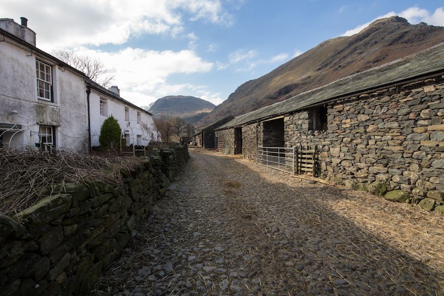
SEATHWAITE FARM
FACING THE SUN WITH SEATHAITE FELL AHEAD
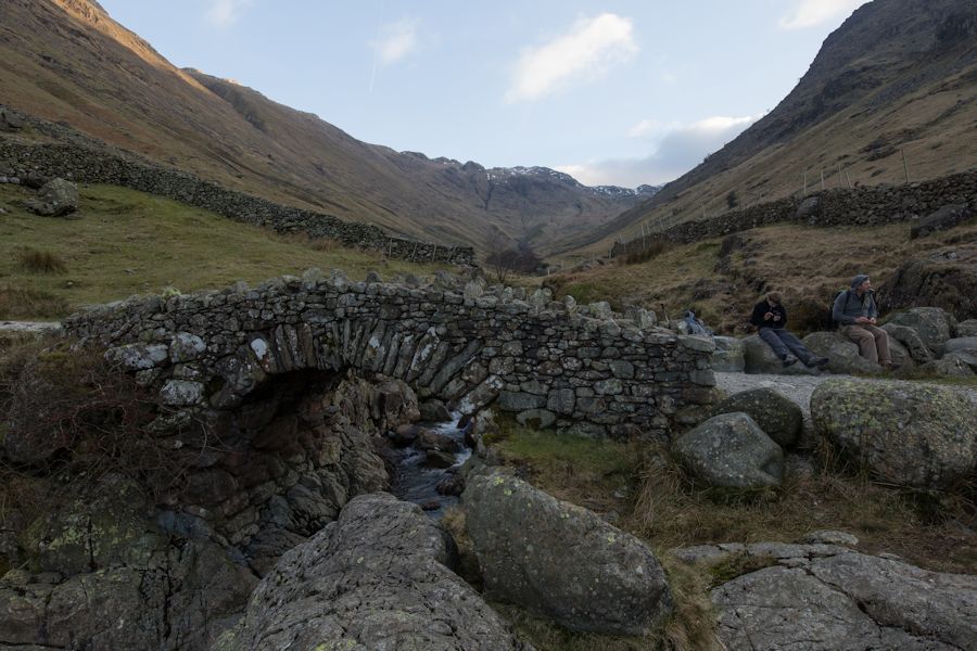
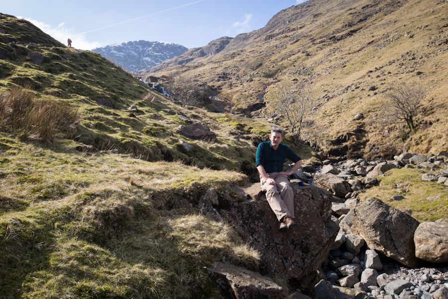
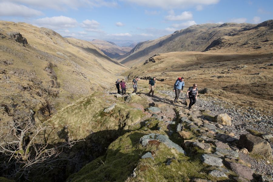
ON STOCKLEY BRIDGE
SNACK TIME
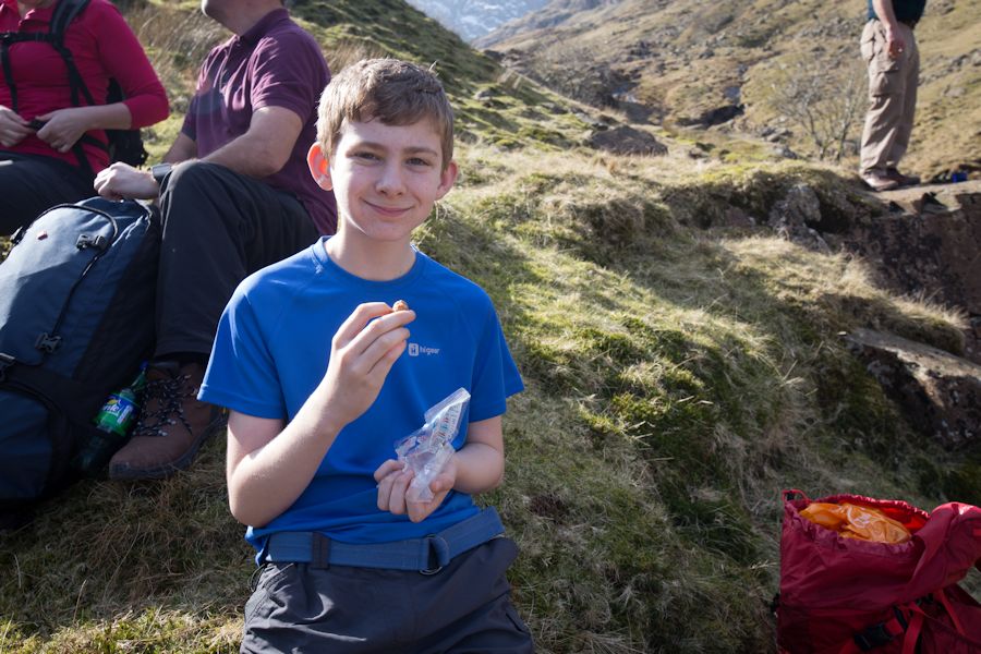
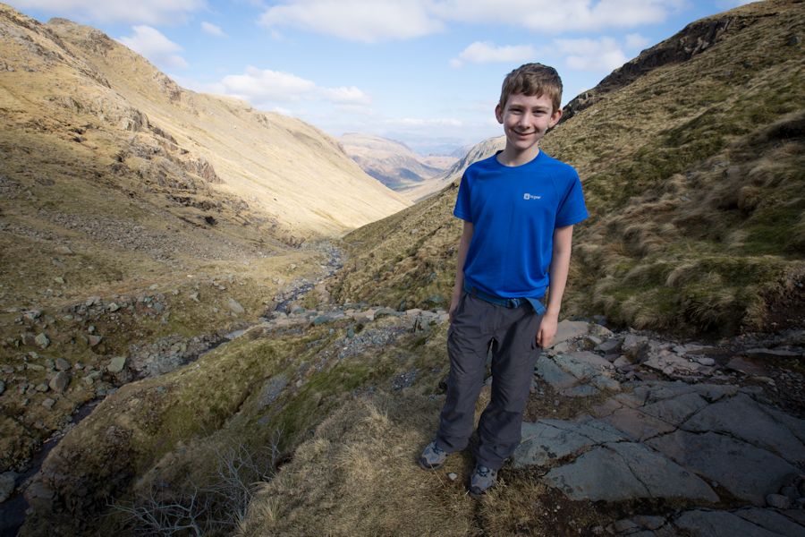
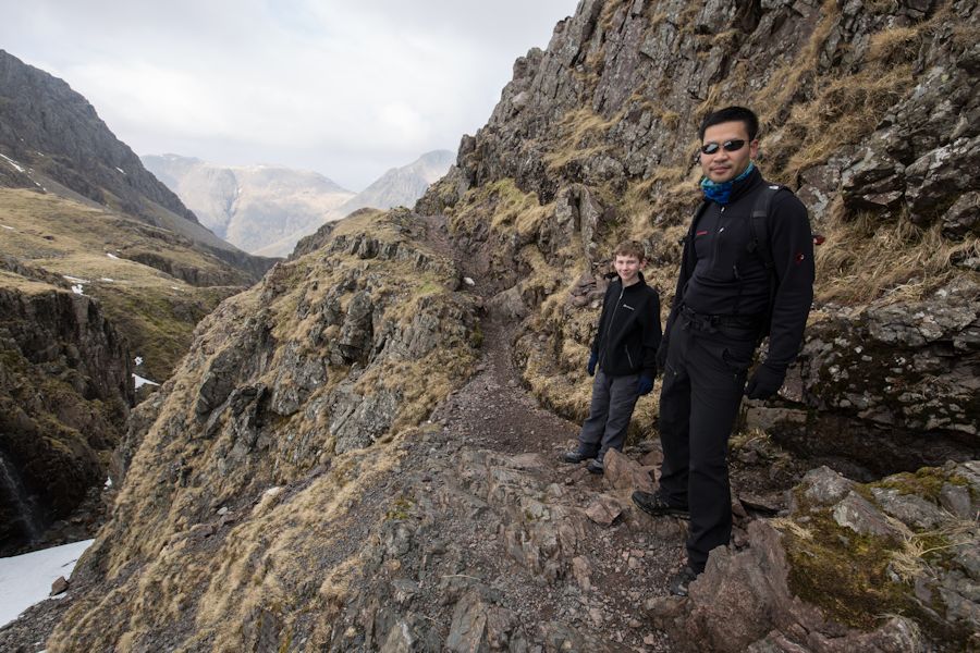
HUGH
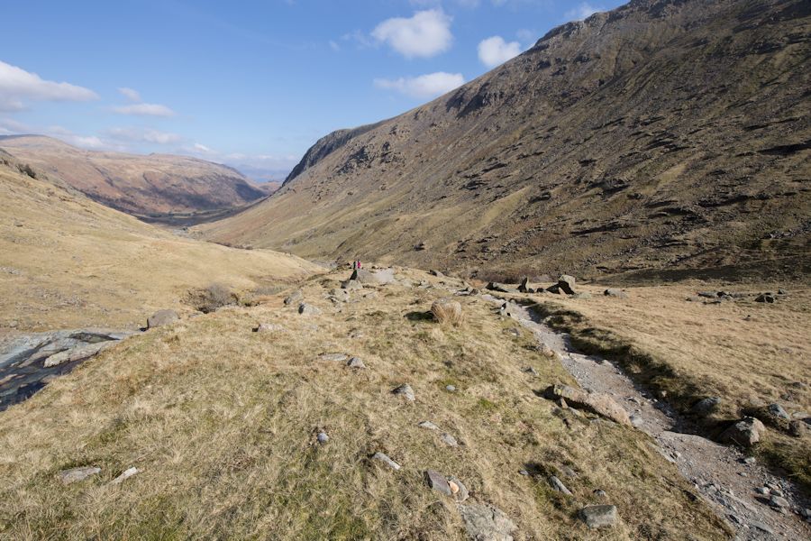
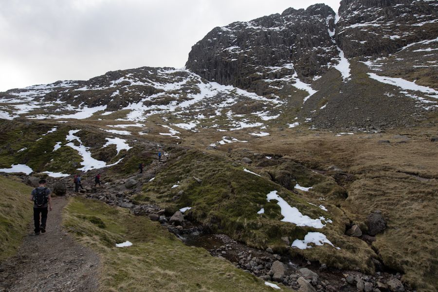
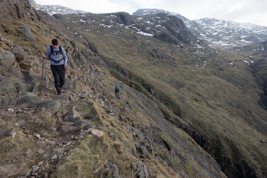
SOME SHOTS LOOKING BACK DOWN GRAINS
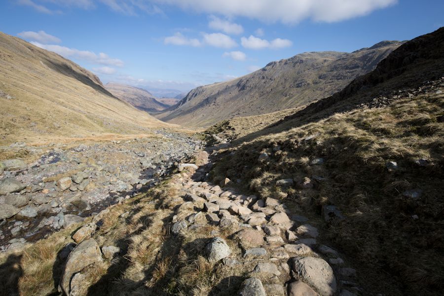
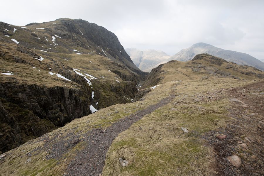
LEVELLING OUT BRIEFLY AS WE APPROACH GREAT END
LOOPING AROUND GREAT END TOWARDS ESK HAUSE. SOMEONE THOUGHT IT A GOOD IDEA TO COME AWAY FROM THE NICE PATH AND GO THROUGH SOME SNOW.
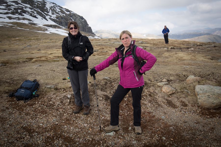
JACKIE AND BERNI AT ESK HAUSE
SOMEWHERE NEAR CALF COVE LOOKING BACK TO ESK PIKE
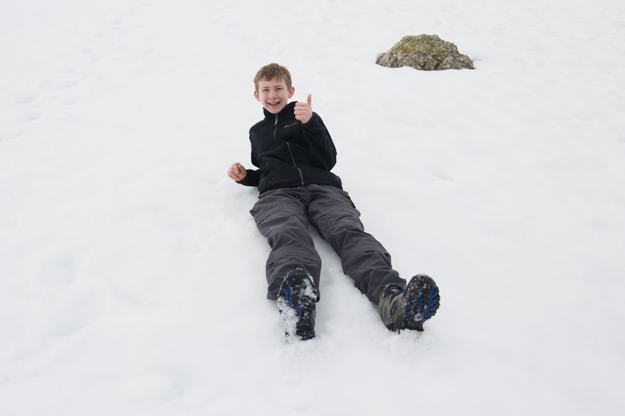
INSISTING ON SLIDING AROUND ON A SNOW SLOPE. IT'S NOT LIKE I COULD STOP HIM
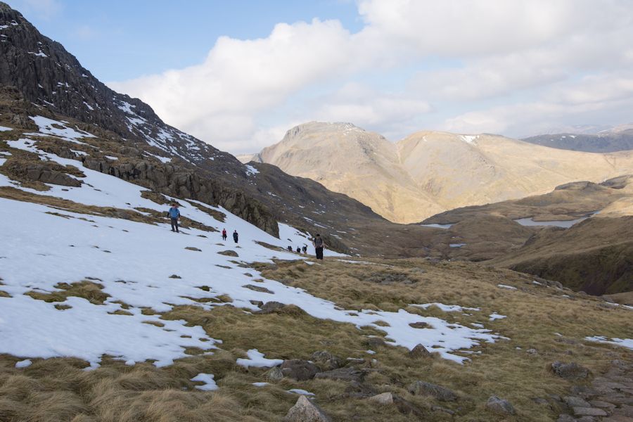
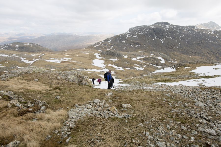
HEADING TOWARDS ILL CRAG
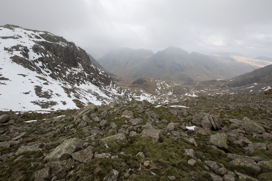
SURE THE CLOUD COMES IN AS WE GET CLOSER TO THE SUMMIT OF SCAFELL. tHat's usually how it works there... i've Not had a clear summit on scafell in 20 years. this is at ill crag looking out to great gable.
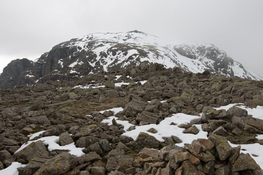
scafell pike summit ahead. there's a drop in height coming up before the final climb
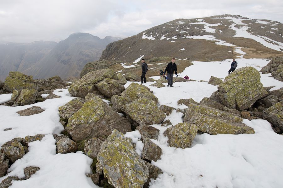
now heading back up a short easy scramble before the final push

summit of scafell pike and a brief break in cloud... in that direction anyway
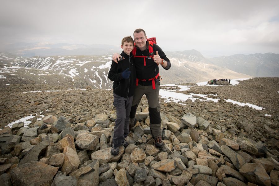
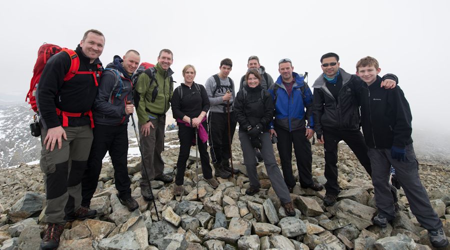
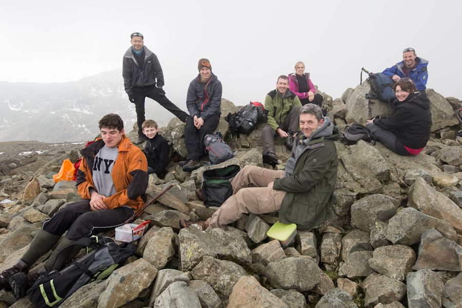
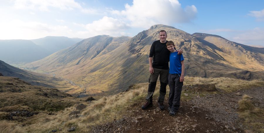
all at the top
time for a hot drink
piers gill
i recently read how someone got confused up here and assumed that piers gill was a descent route. the mistake was fatal :(
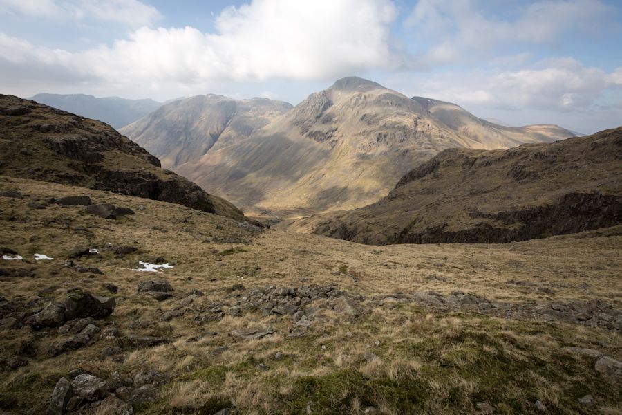
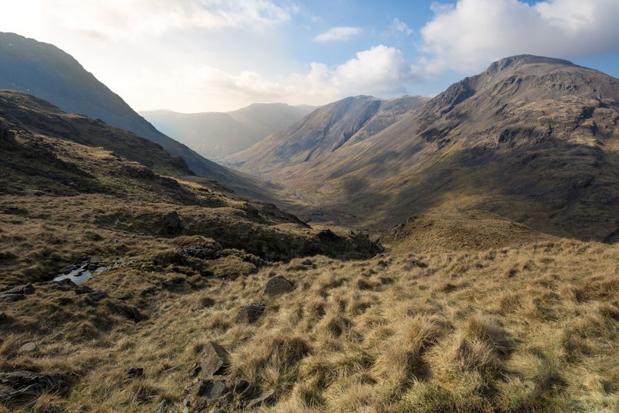
brightening up over great gable
the corridor route. there is a point on this path where you hit a rock wall. an arrow points up and it is correct to follow it. jut a short scramble really that looks worse than it is.
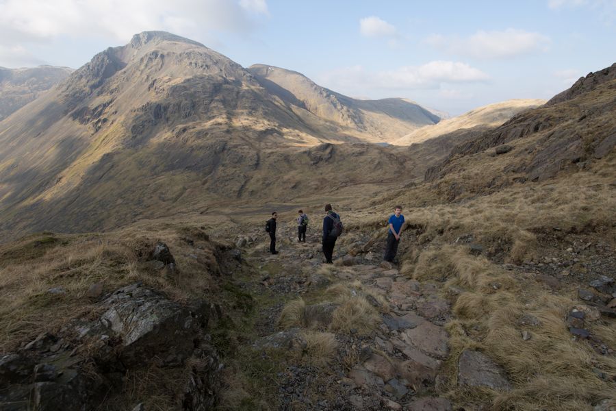
now that's a cracking view and another perfect place for a drink and a snack
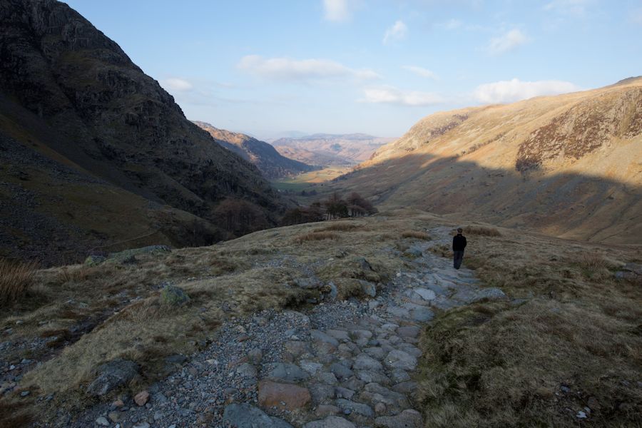
starting to descend the corridor route now towards styhead tarn
styhead tarn
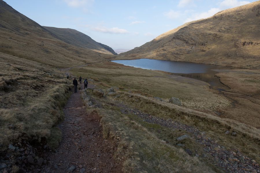
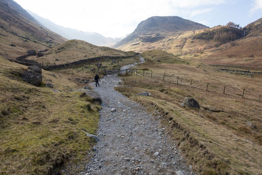
after the tarn we followed styhead gill on a very welcomed flat section to greenhow knott
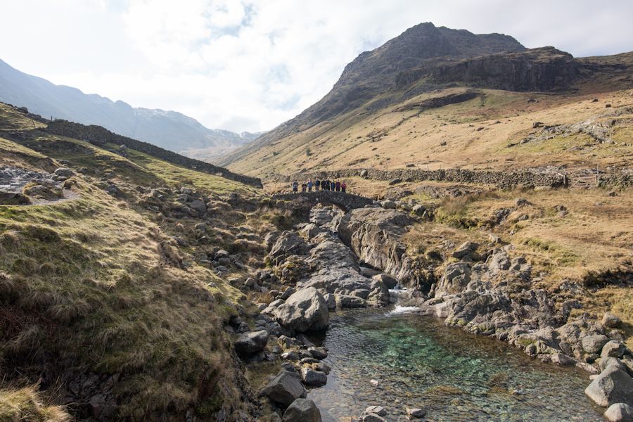
back at stockley bridge using up the last of the daylight