Kinder Scout via Red Brook
DATE 17.08.2016 | DISTANCE approx 15.4KM |
Posted by Matt | Filed under PEAK DISTRICT
Download GPX file
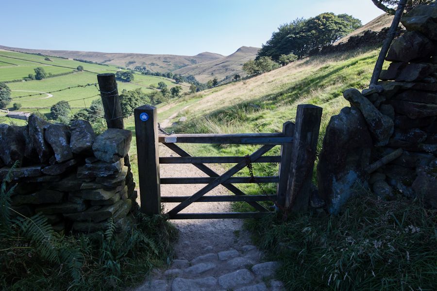
Many times i have now walked the stretch from kinder downfall to kinder low and every time i've looked down the large opening at the top of red brook and thought to myself 'is that a possible way up?' So not long ago whilst flicking through the book ' Scrambles in the dark peak' i came across a route detailing scrambling up red brook. It's been on the cards for a while and now i can tell you that not only is it a great climb but also the walk to it is wonderful!
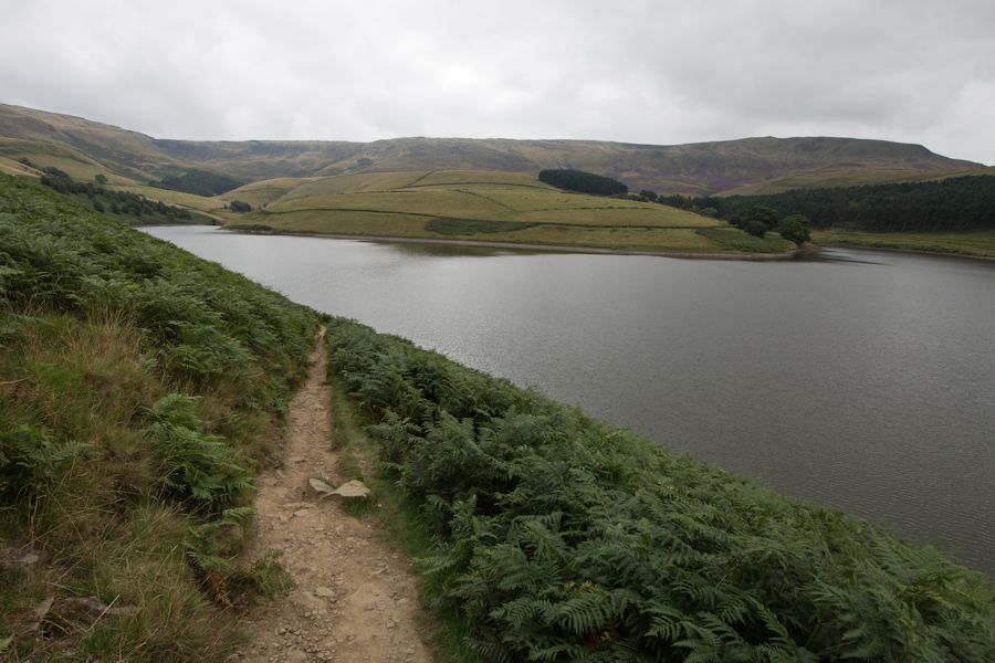
Kinder Reservoir and the kinder plateau beyond
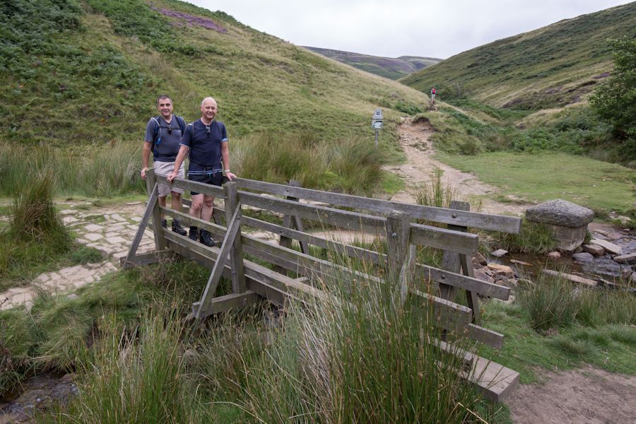
so normally i would follow that track beyond to william clough but today we would cross this small foot bridge and make our way further around the reservoir.
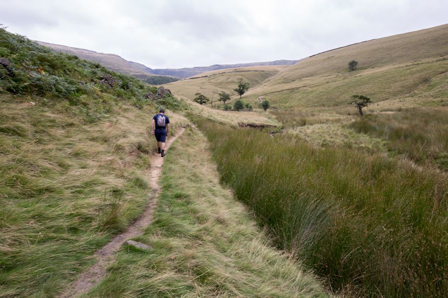
we followed a faint track through the ferns. this was just a small taste of what was to come. i was expecting it to be very overgrown though... if overgrown is a word you can use in the wild?

away from the ferns at hollin head and into some open land
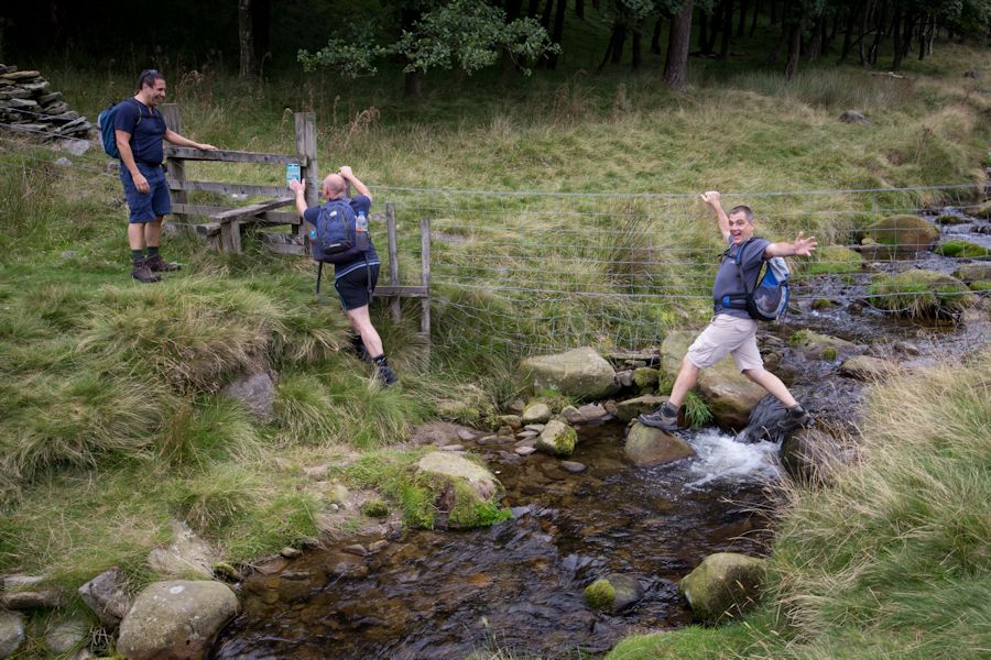
careful there andrew!
this small wooded area would make a great place for camping. it's definitely on the cards.
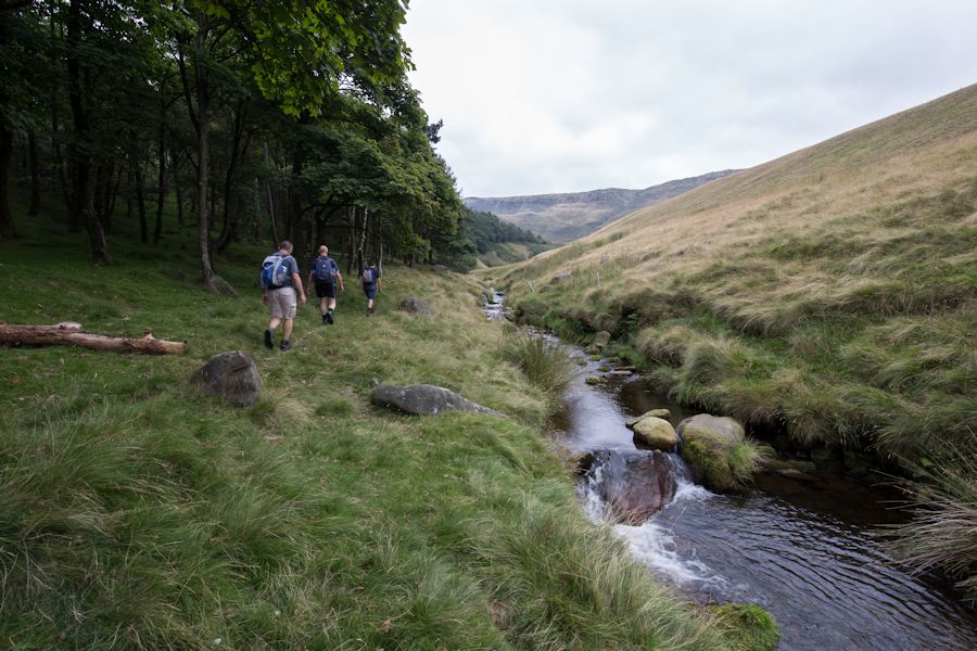
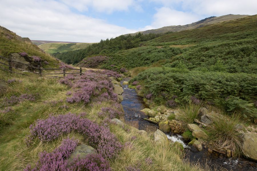
just keep following the water for now and staying as close to it as possible.
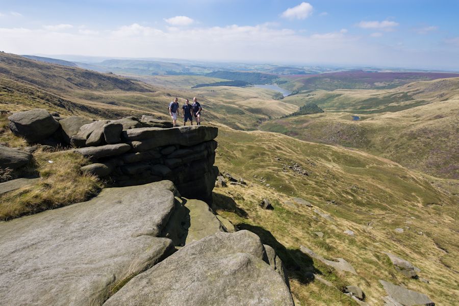
a quick look back and you can see the rocky outcrop of sandy heys to the right.
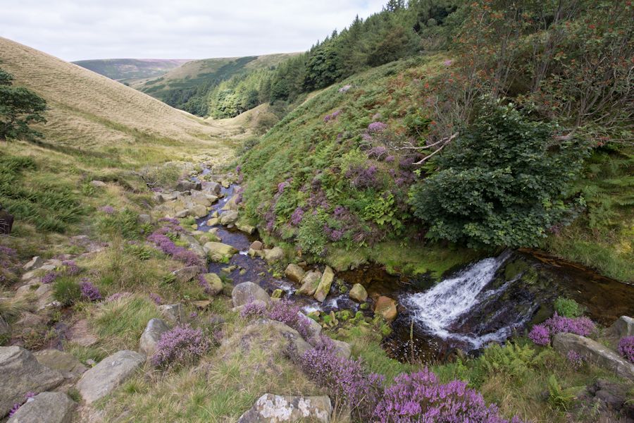
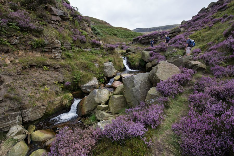
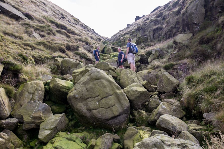
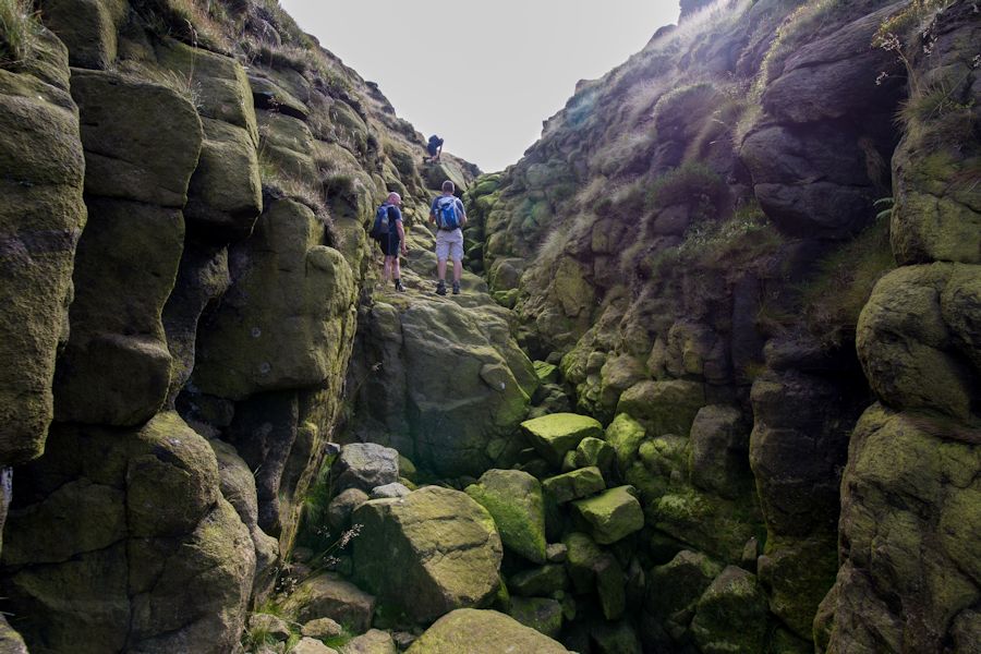
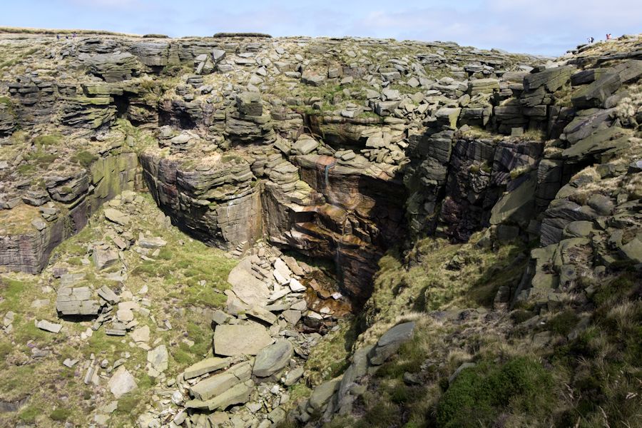
eventually the stream splits and you have to follow the source on the right. after negotiating some pretty horrible ground of high ferns and bog we hit rock.
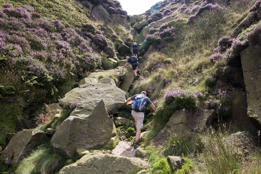
there is no mistake which direction to take now. straight up and clambering over the huge boulders.
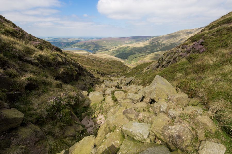
a view back down.
this is a great little scramble. not very exposed but great views.
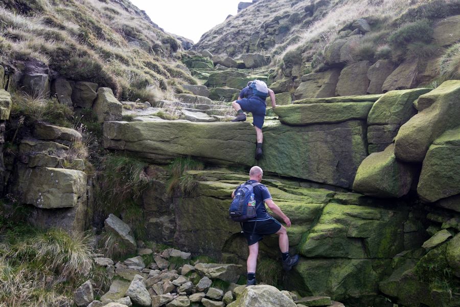
look at those rocks on the bottom left. the greener the rock the more slippery the rock
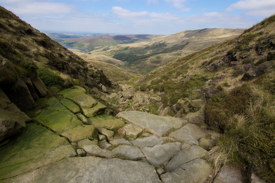
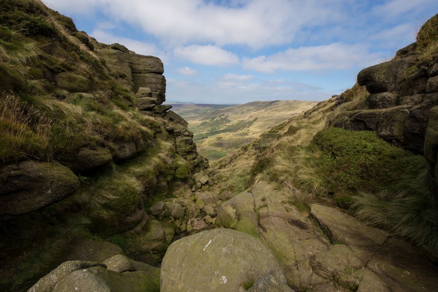
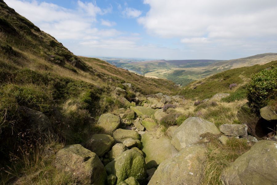
with the scramble over we topped out onto the pennine way.
we decided to walk over to kinder downfall for lunch.
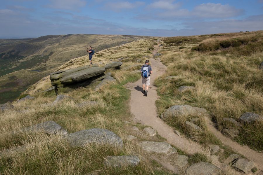
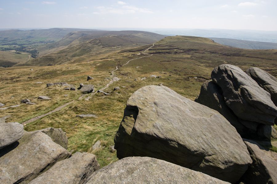
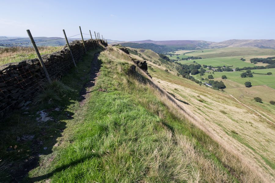
heading back on the pennine way but having a clamber on some of the big rocks as we went.
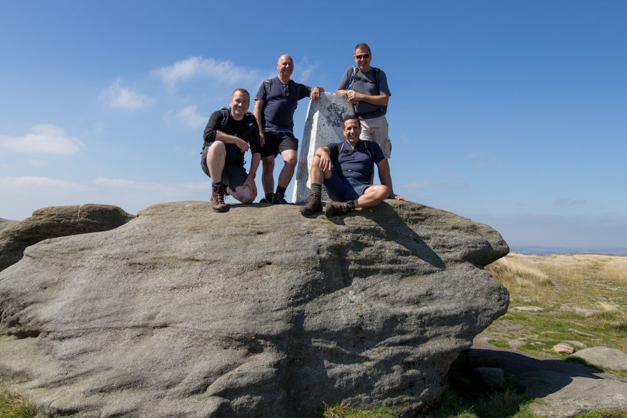
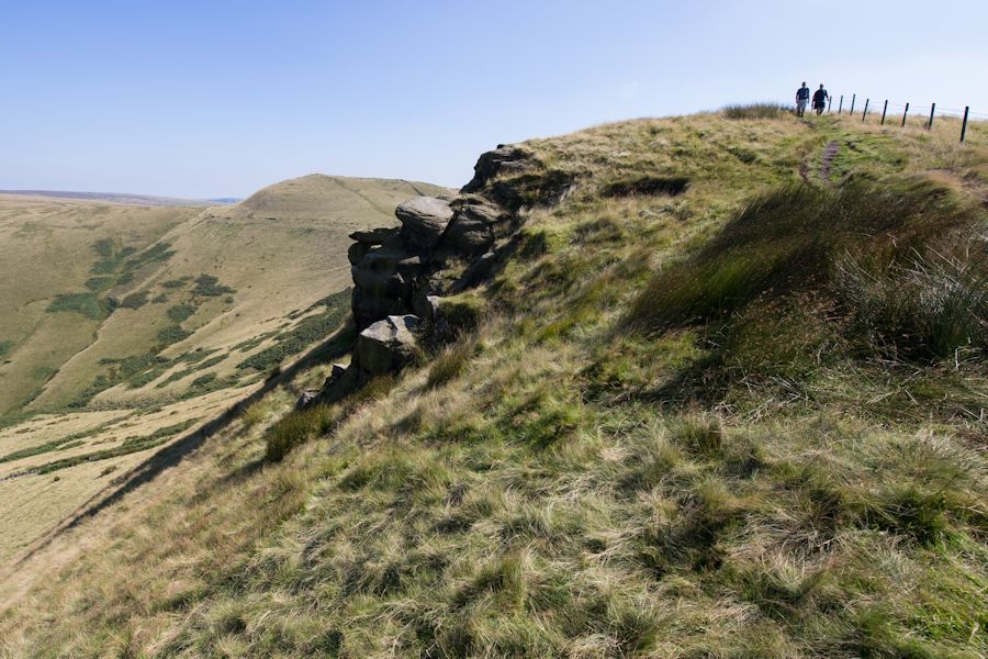
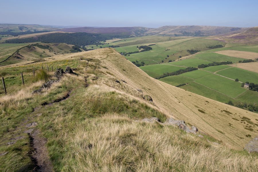
Kinder Low
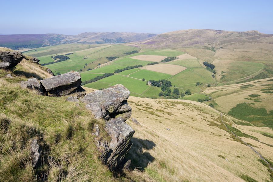
looking out from the top of edale rocks towards swine's back and down towards the vale of edale on the left.
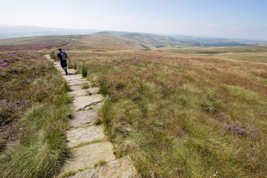
glad this path of slabs are here. heading towards south head and mount famine.
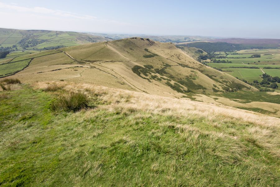
mount famine from south head
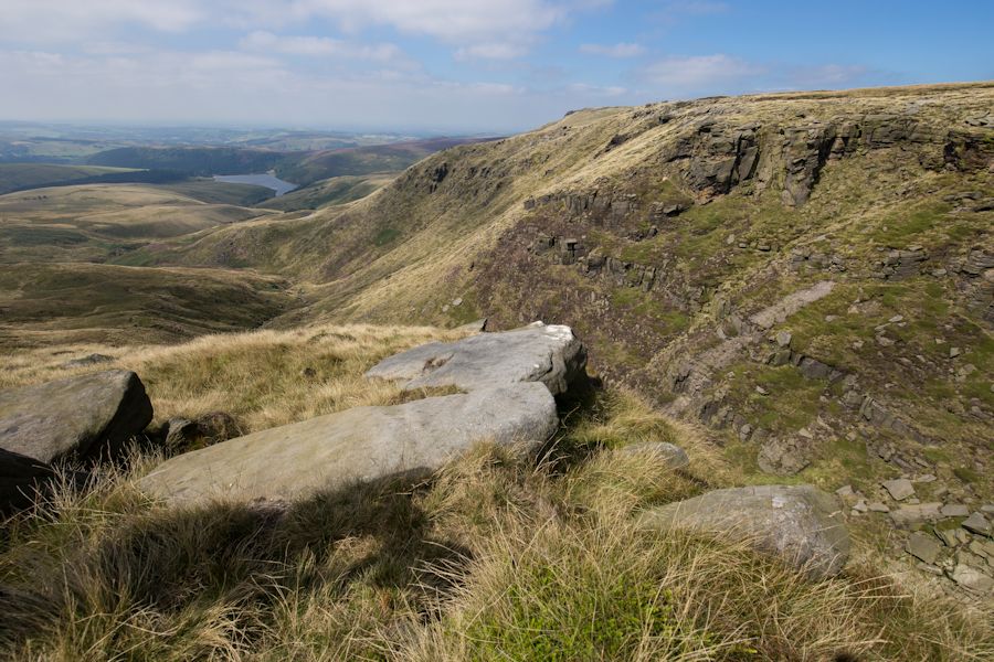
view to the kinder plateau from mount famine
off mount famine but following the ridge line down
looking back to mount famine and south head.