Raven Crag and Armboth Fell
DATE 17.03.2025 | DISTANCE approx 9.8KM approx | HIGHEST POINT 515M
Posted by Matt | Filed under lake district
Download GPX file
Another multi-hike day. Today before heading home we squeezed in two seperate hikes and another 3 Wainwrights.
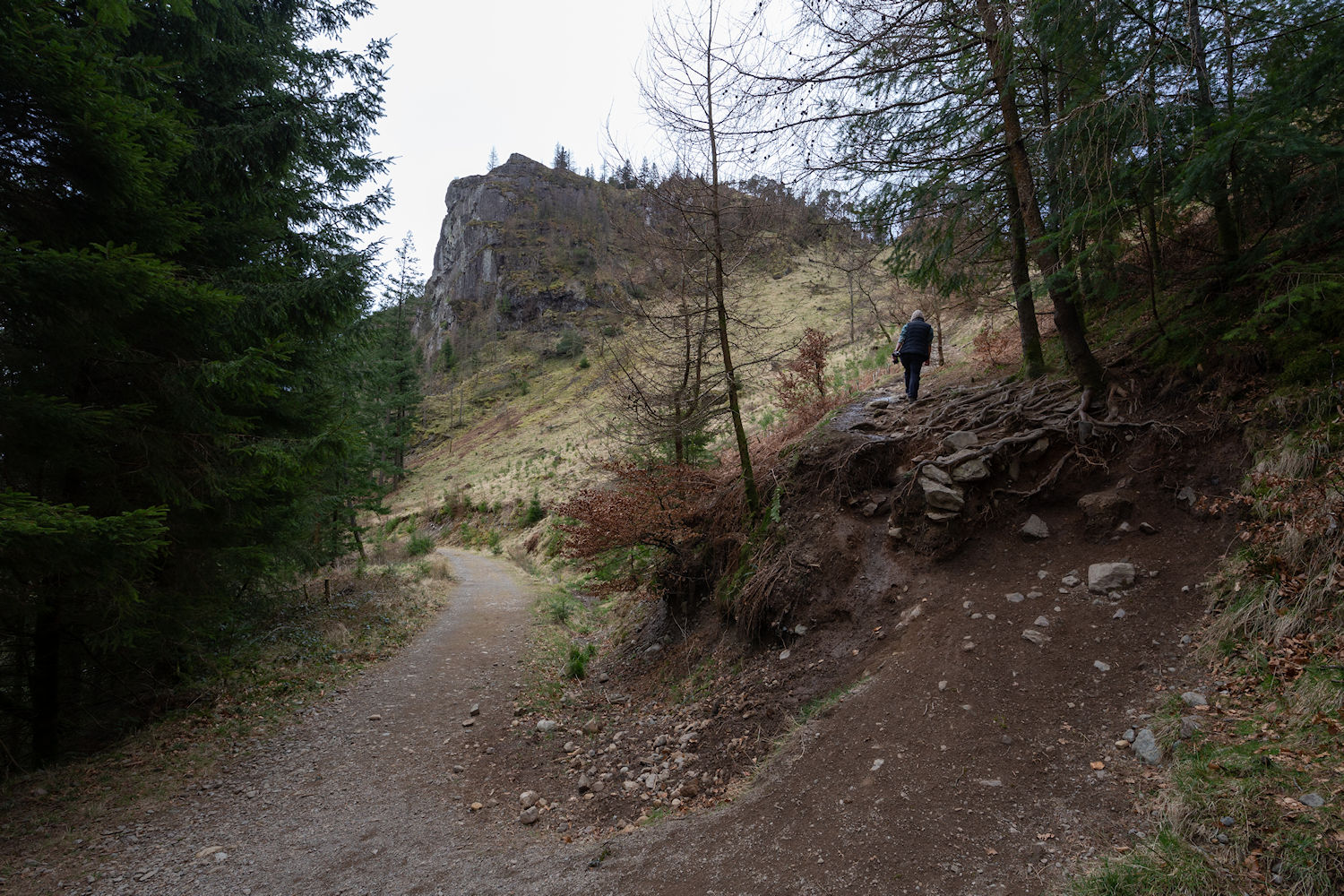
Parked at the north of the Thirlmere reservoir. First summit, right ahead of us, Raven Crag. Great name and we would agree later that the view from the summit is equally great.
Steep climb but pretty quick ascent.
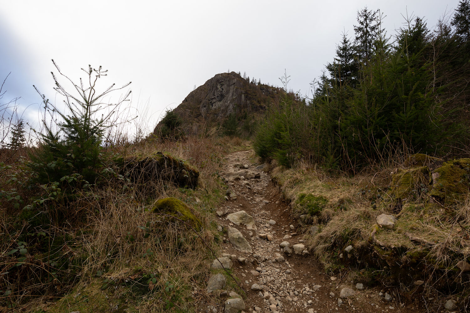
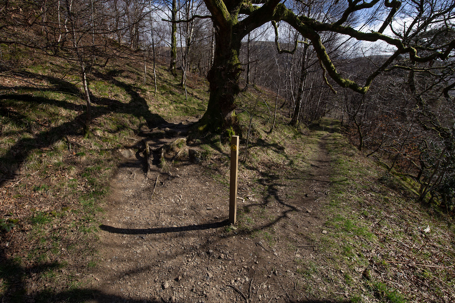
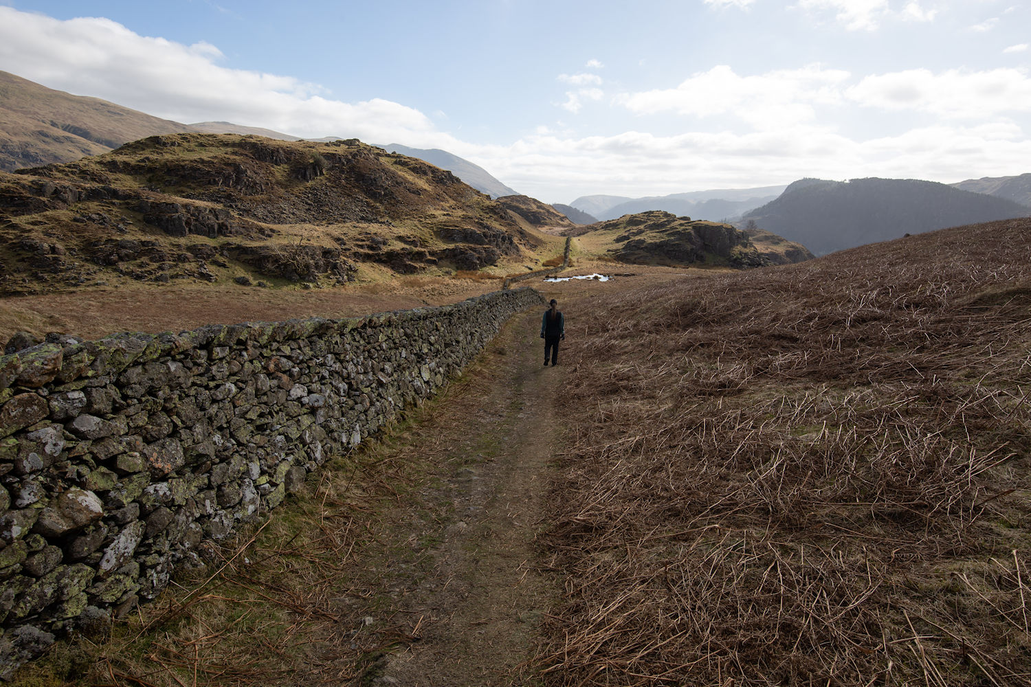
Note: the trail here.
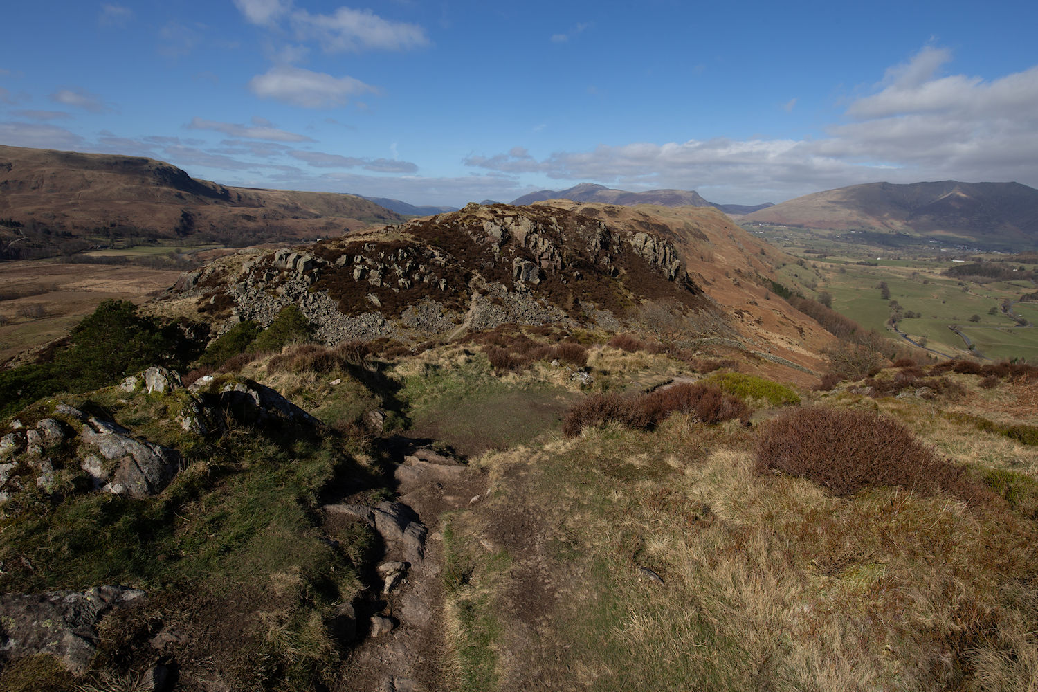
Stopping to admire the handsome crag.
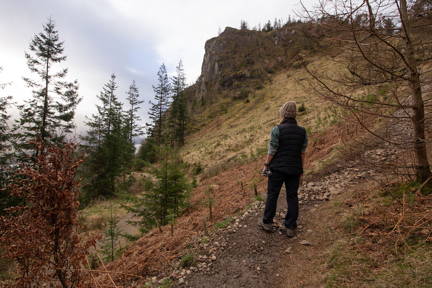
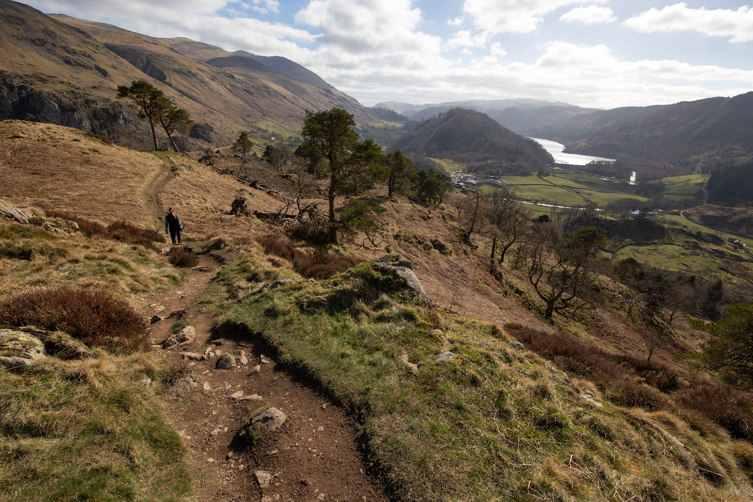
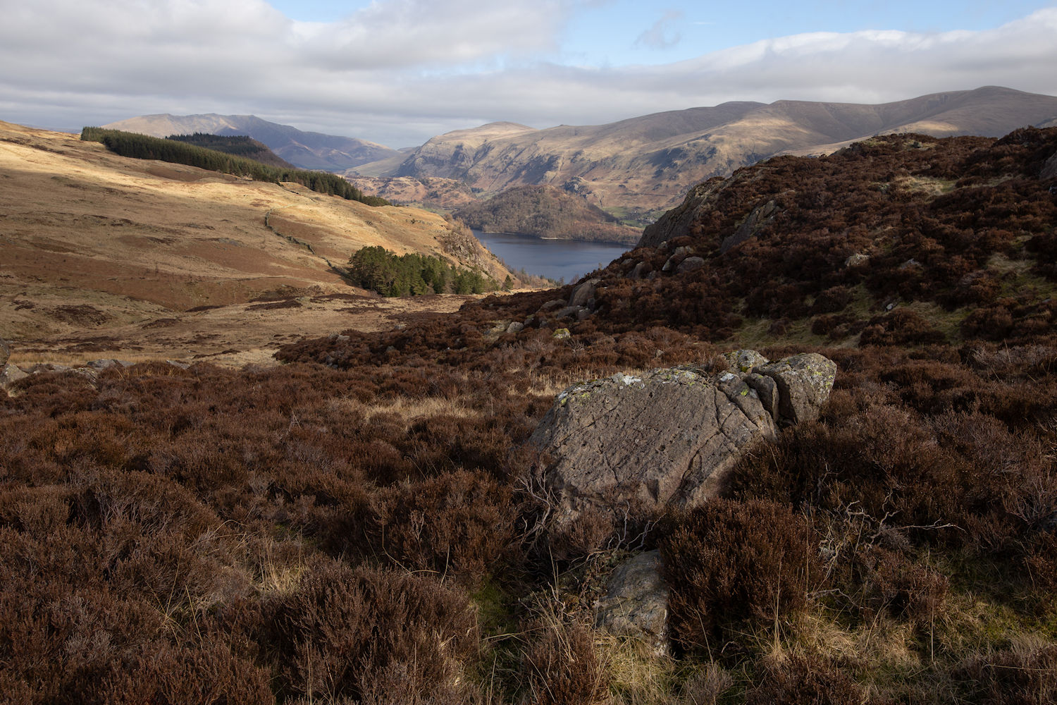
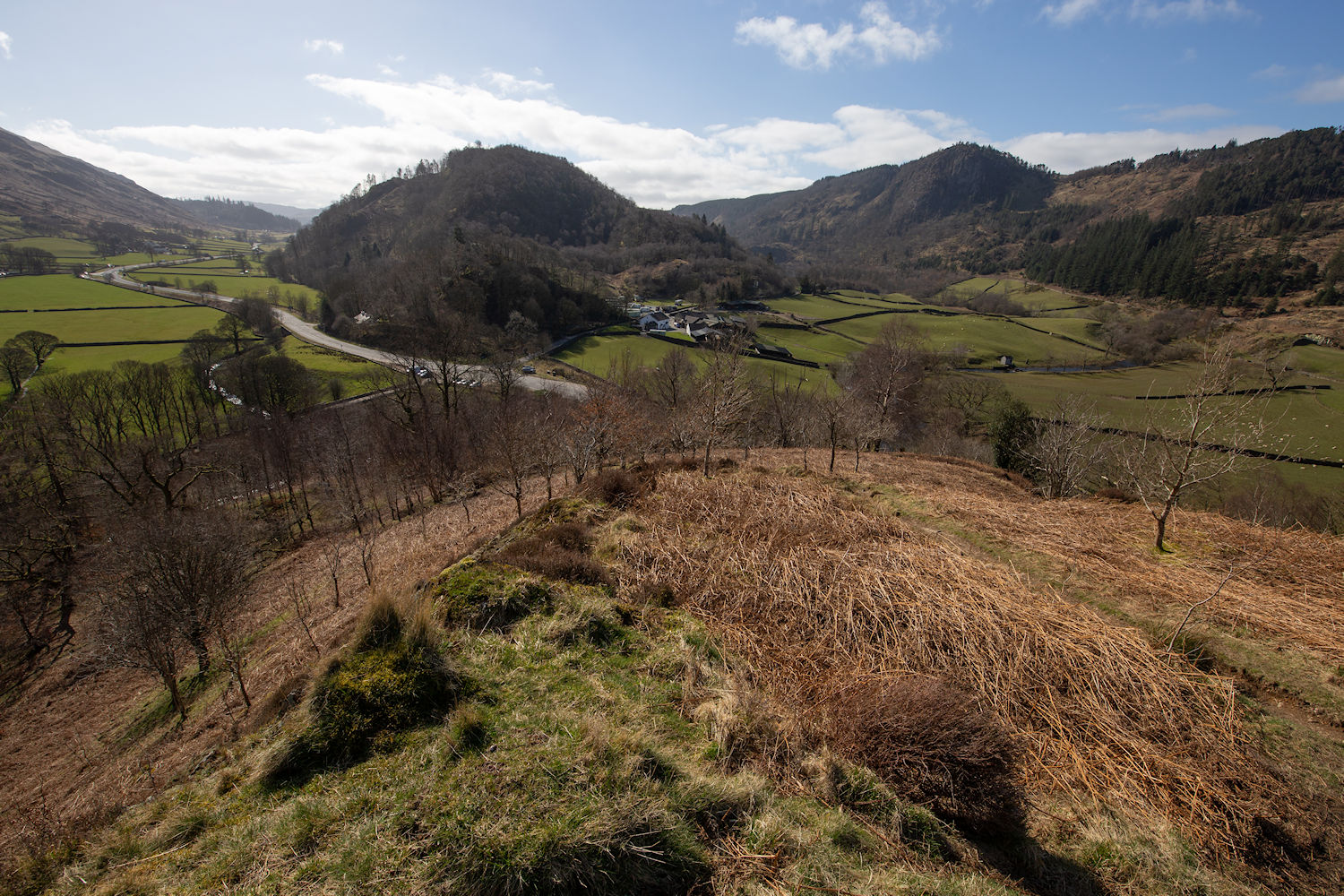
Looking back down from our ascent to Raven Crag. The Dodds in the distance.
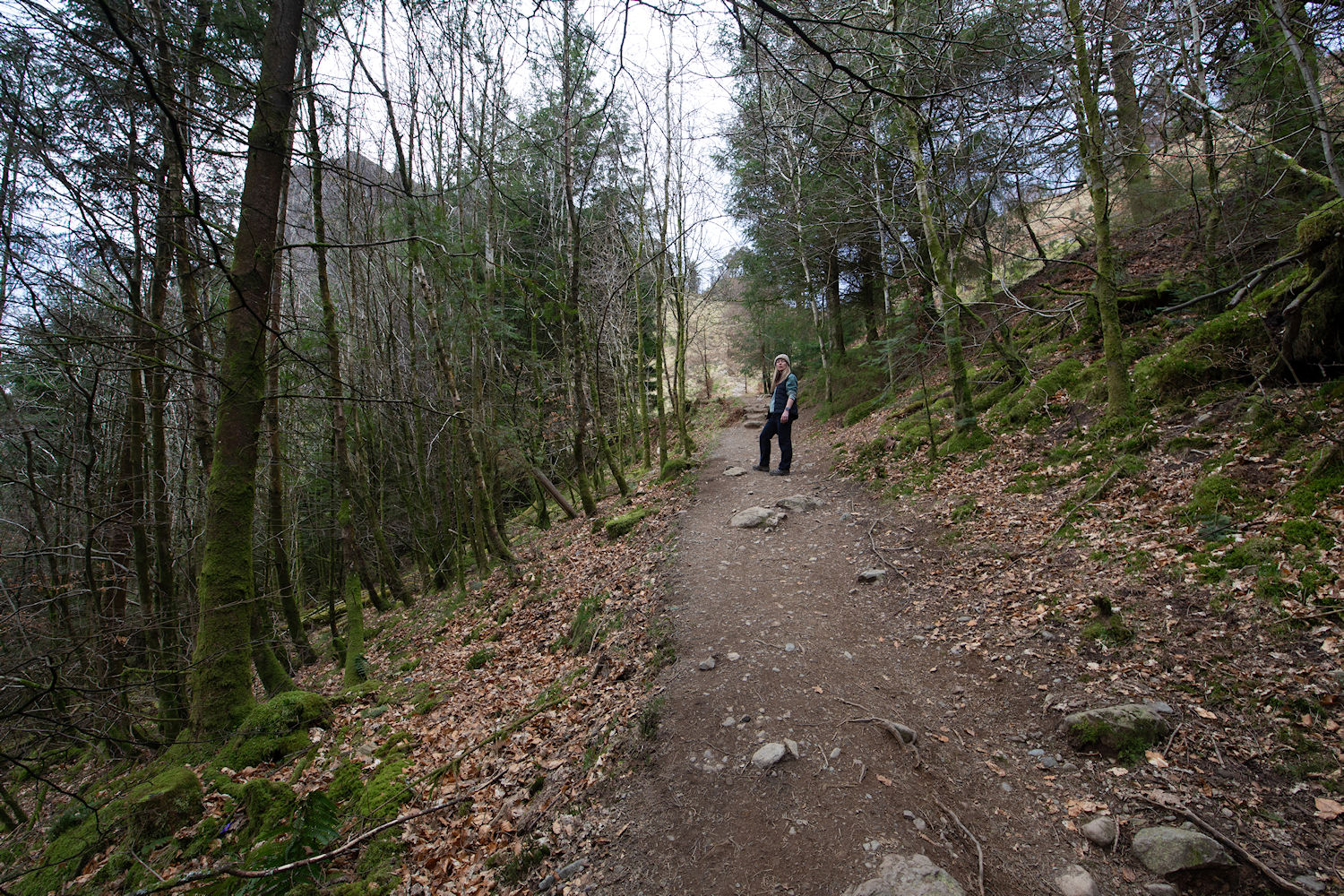
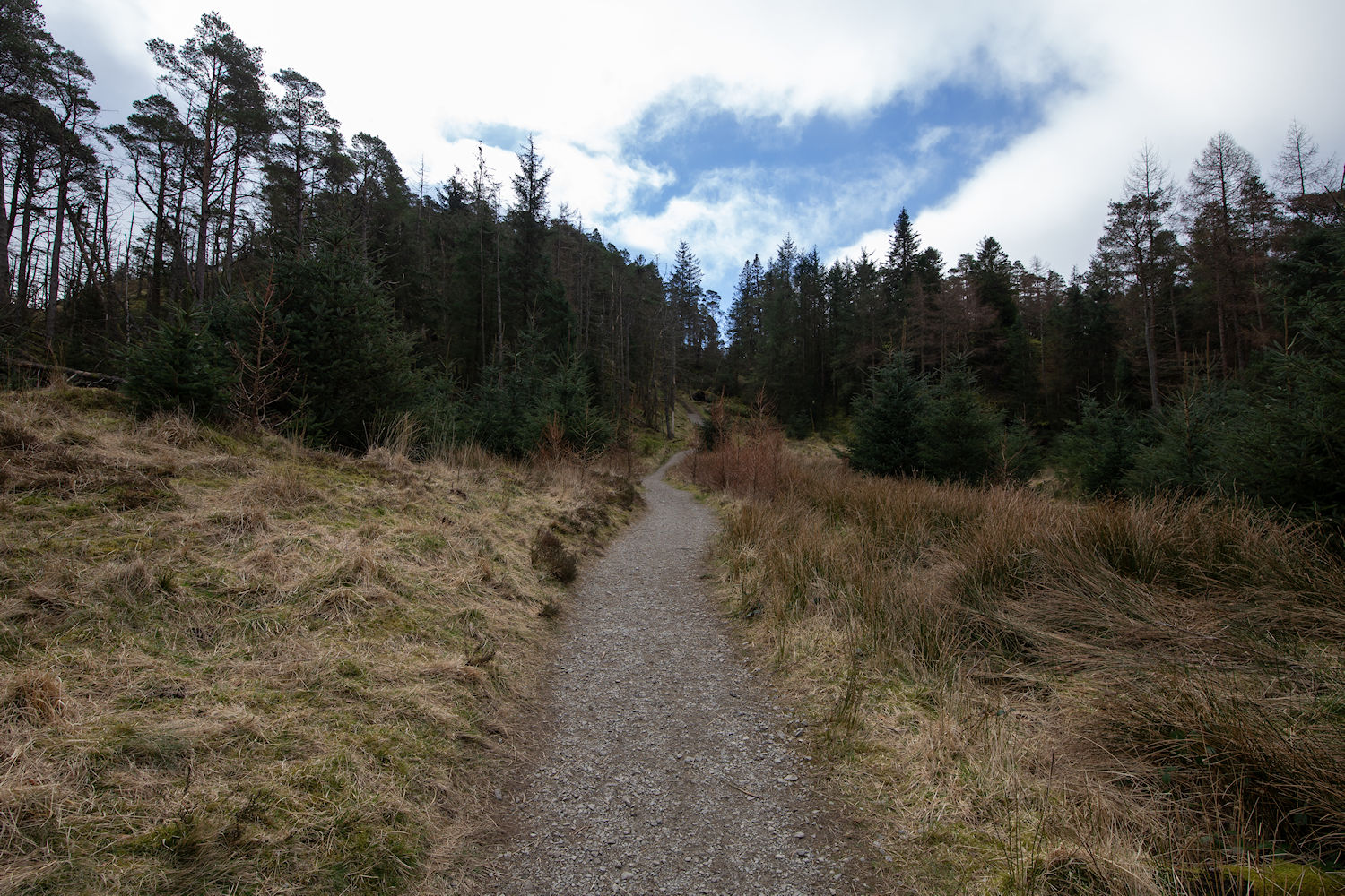
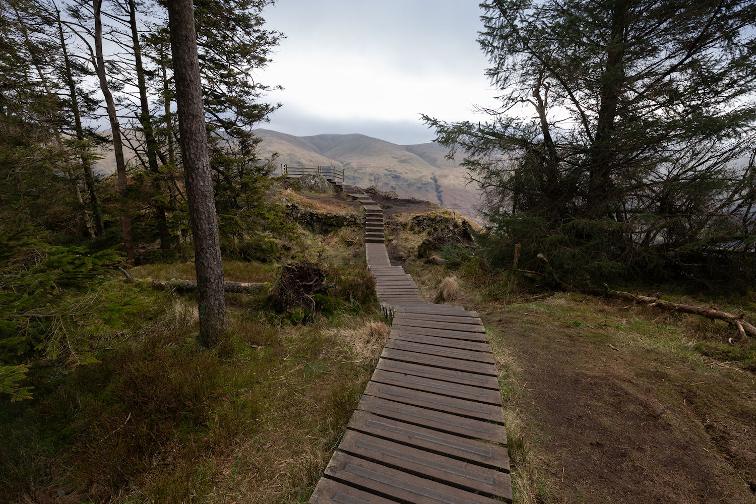
Cutting left and following the clear path into the woodland.
Quite a unique spot for these duckboards.
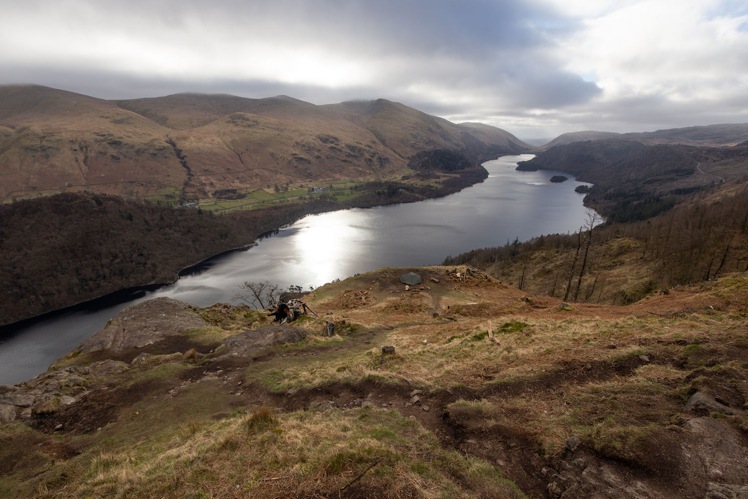
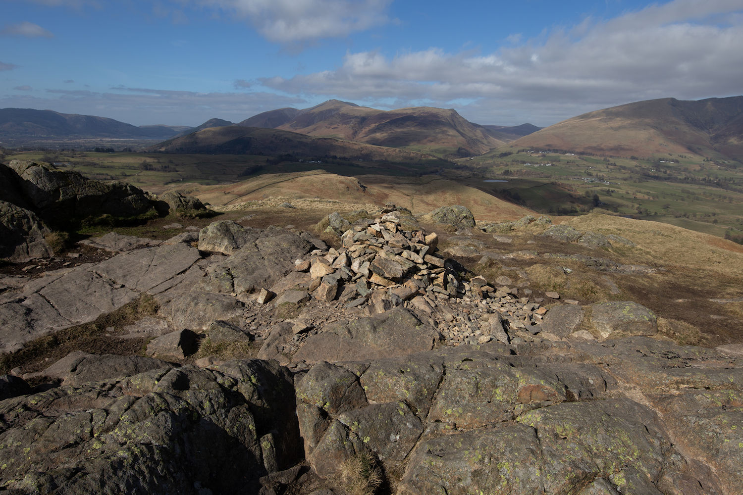
The top of Raven Crag.
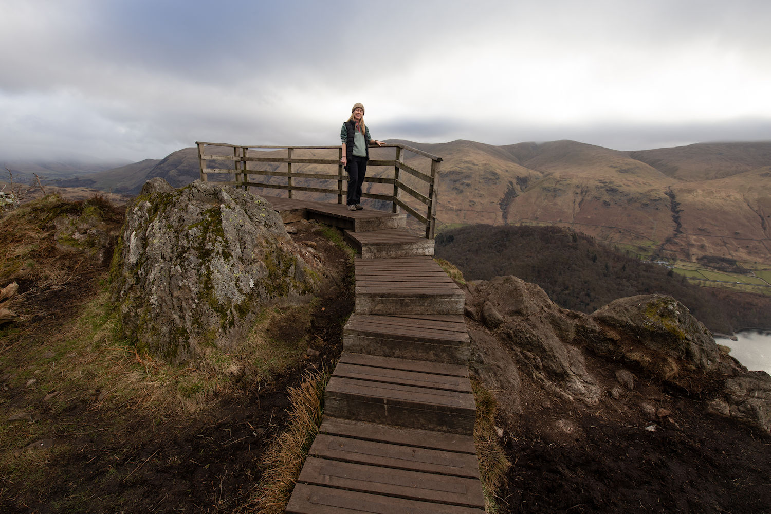
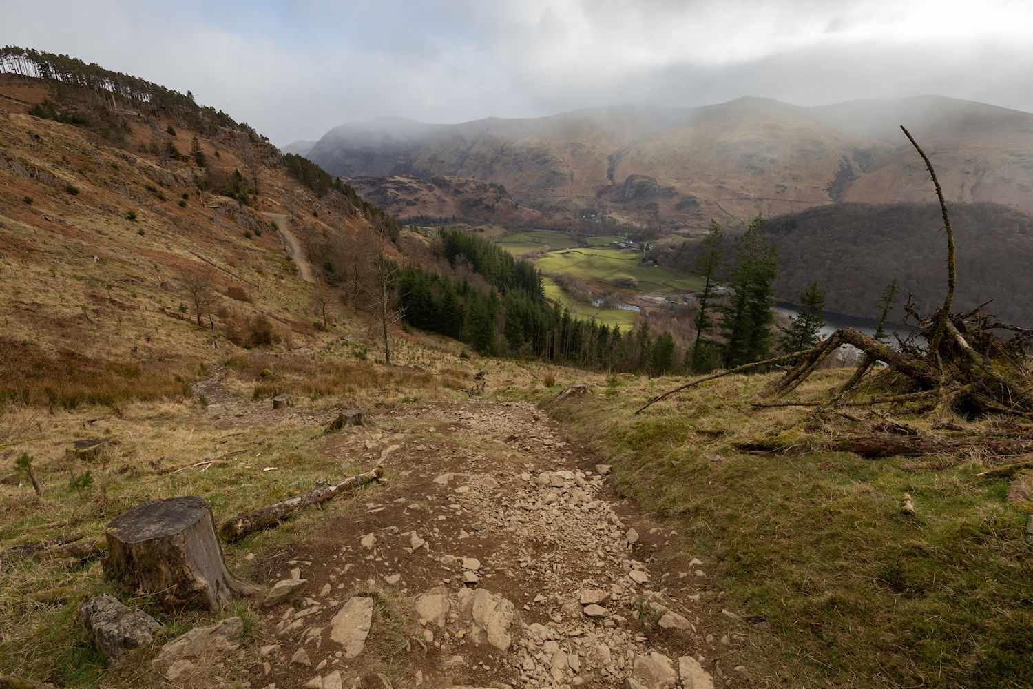
A summit of this name deserves a great view. Thirlmere reservoir stretching off into the distance.
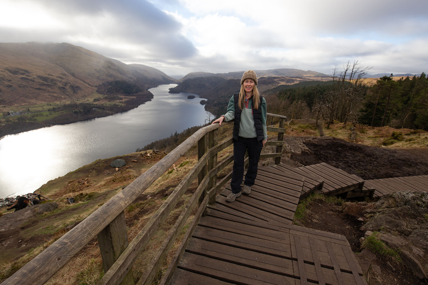
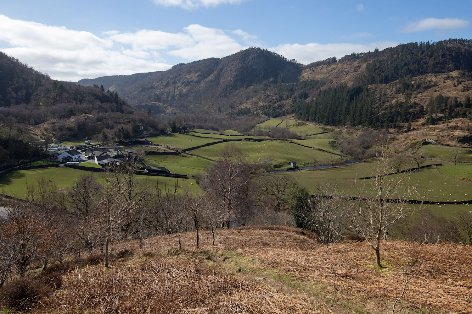
Looking down to Great How and the Dodds at the back. Yet to do the Dodds. Soon though.
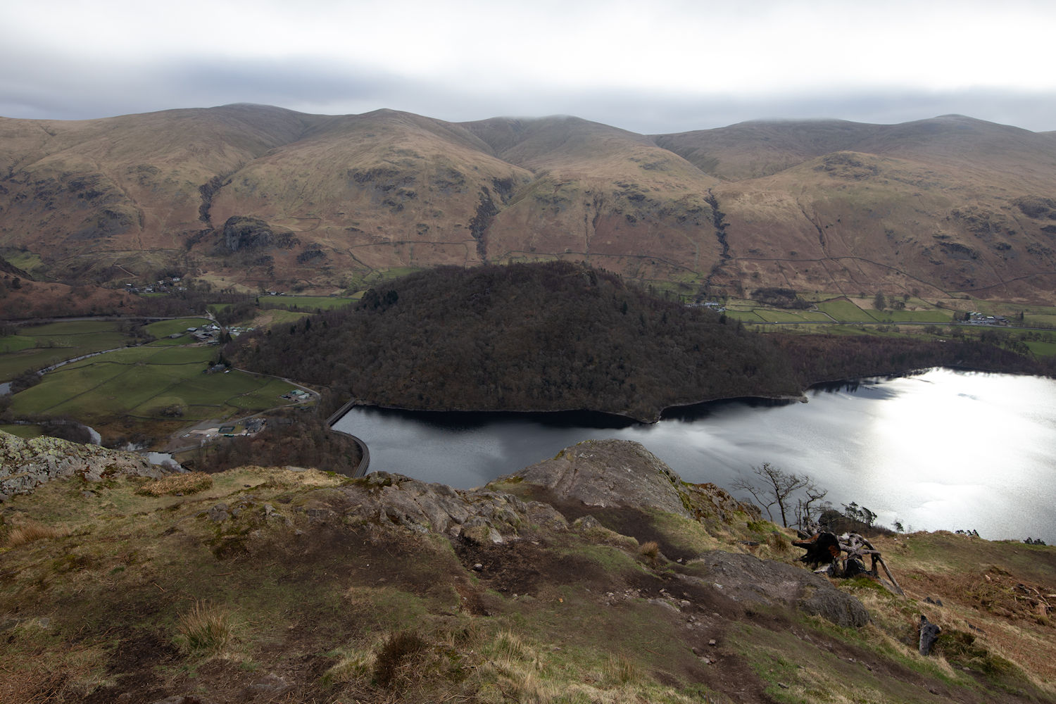
Thirlmere
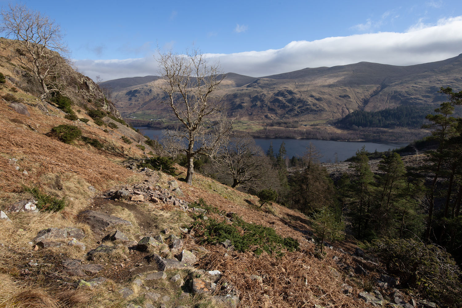
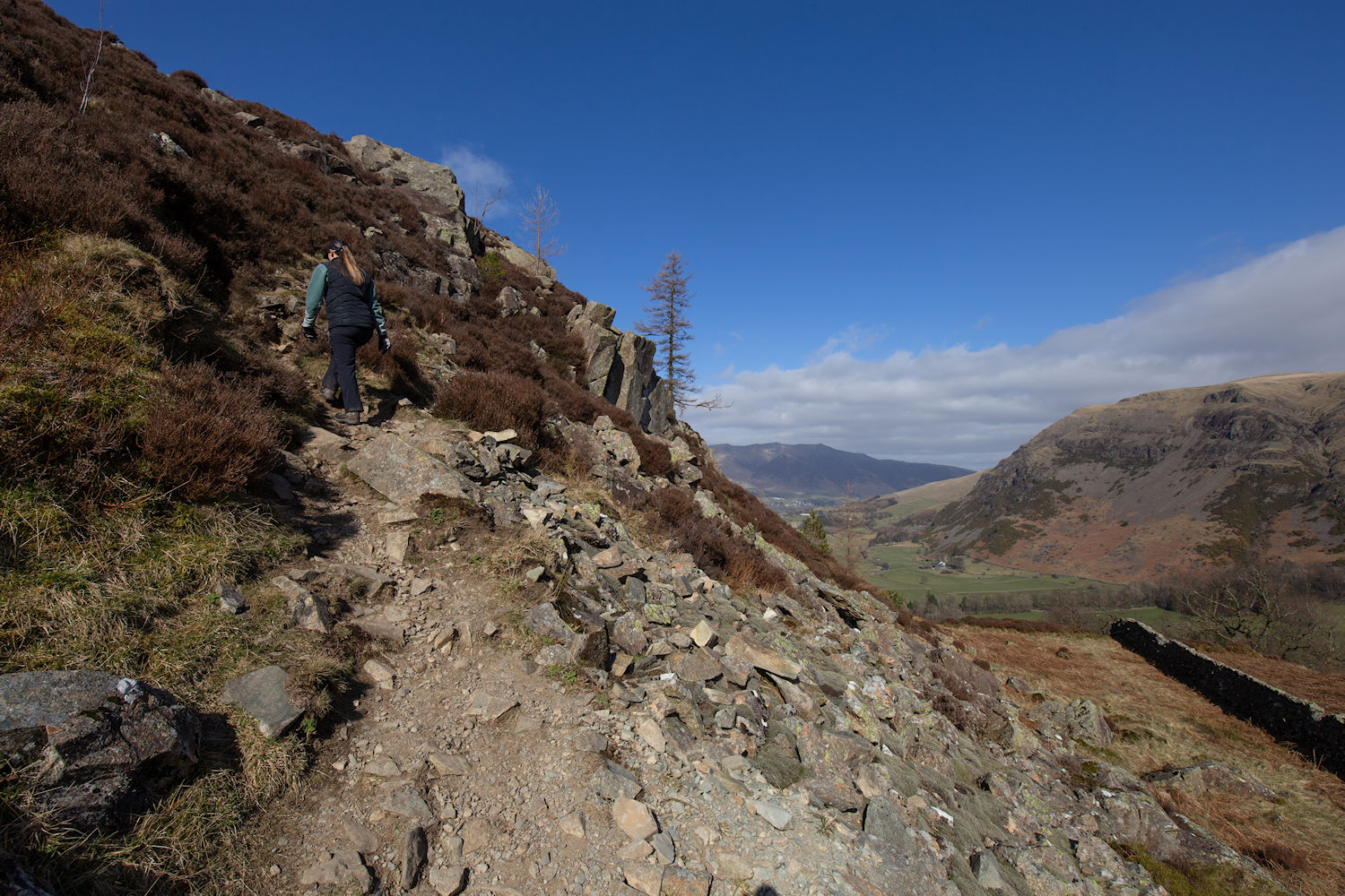
Backtracked from the summit down the steps and onto a welcomed gentle path. Needed now, as I knew it was about to get rugged.
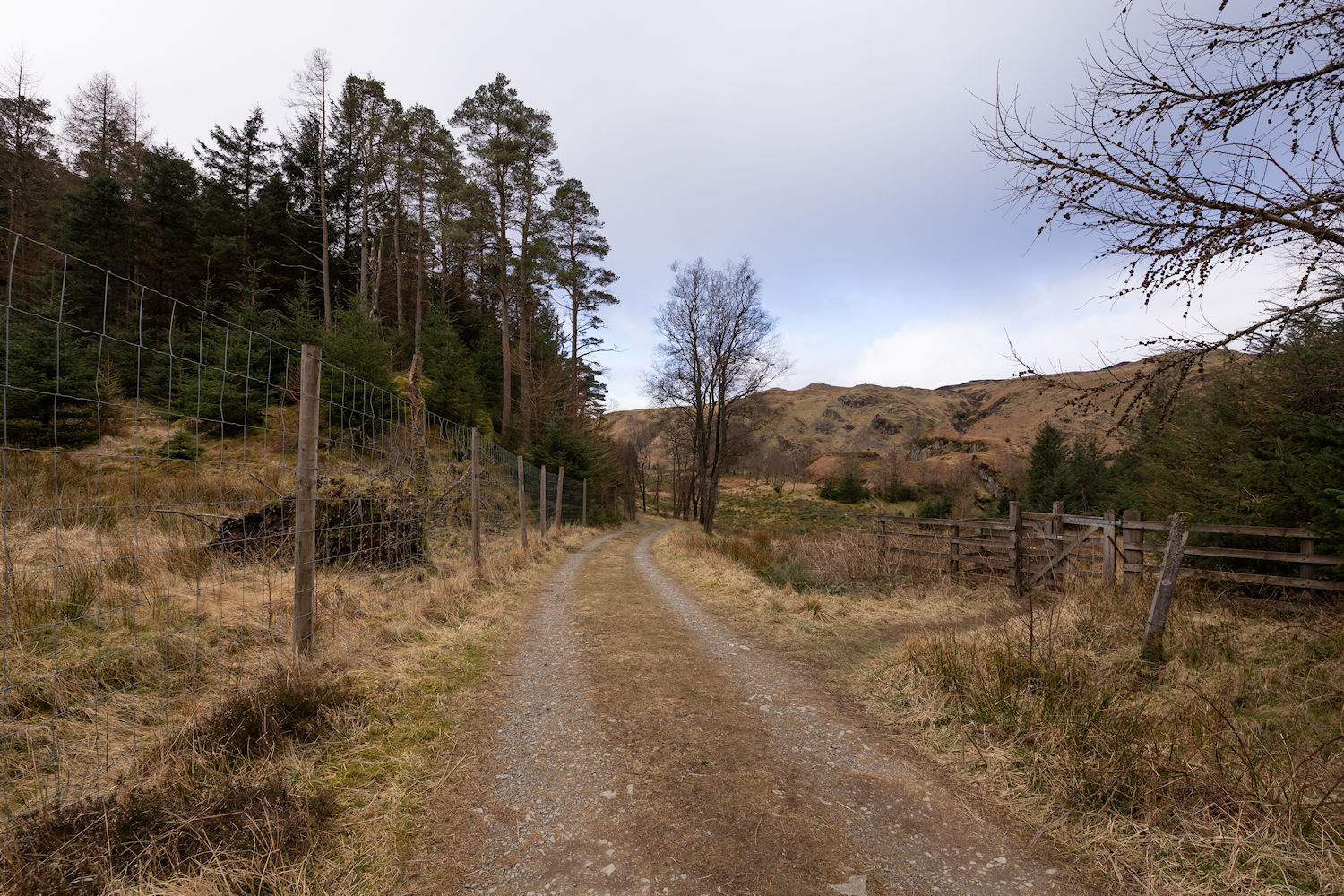
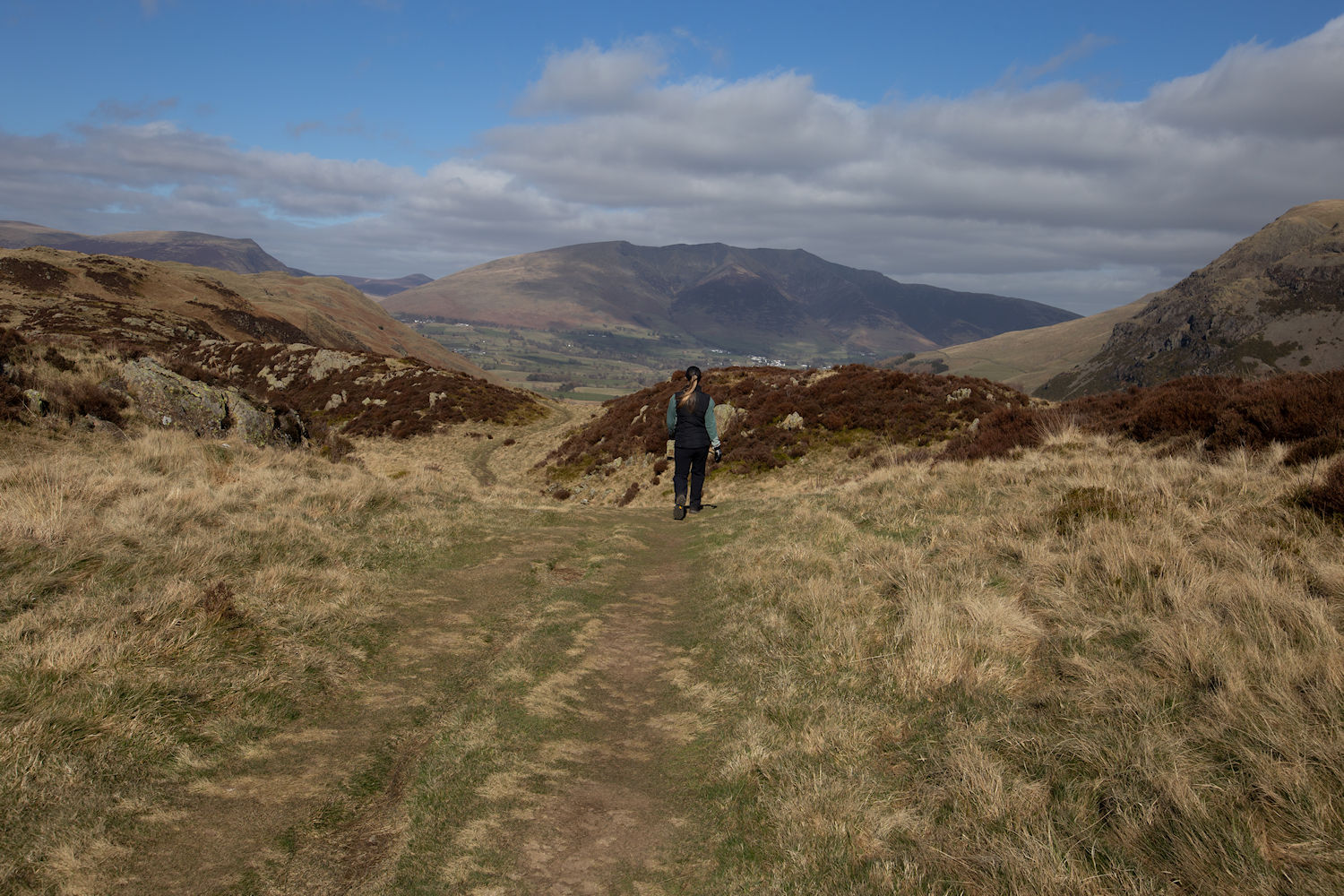
Sometimes, I'm photographing simply to show you the direction. Go through this gate onto the moorland.
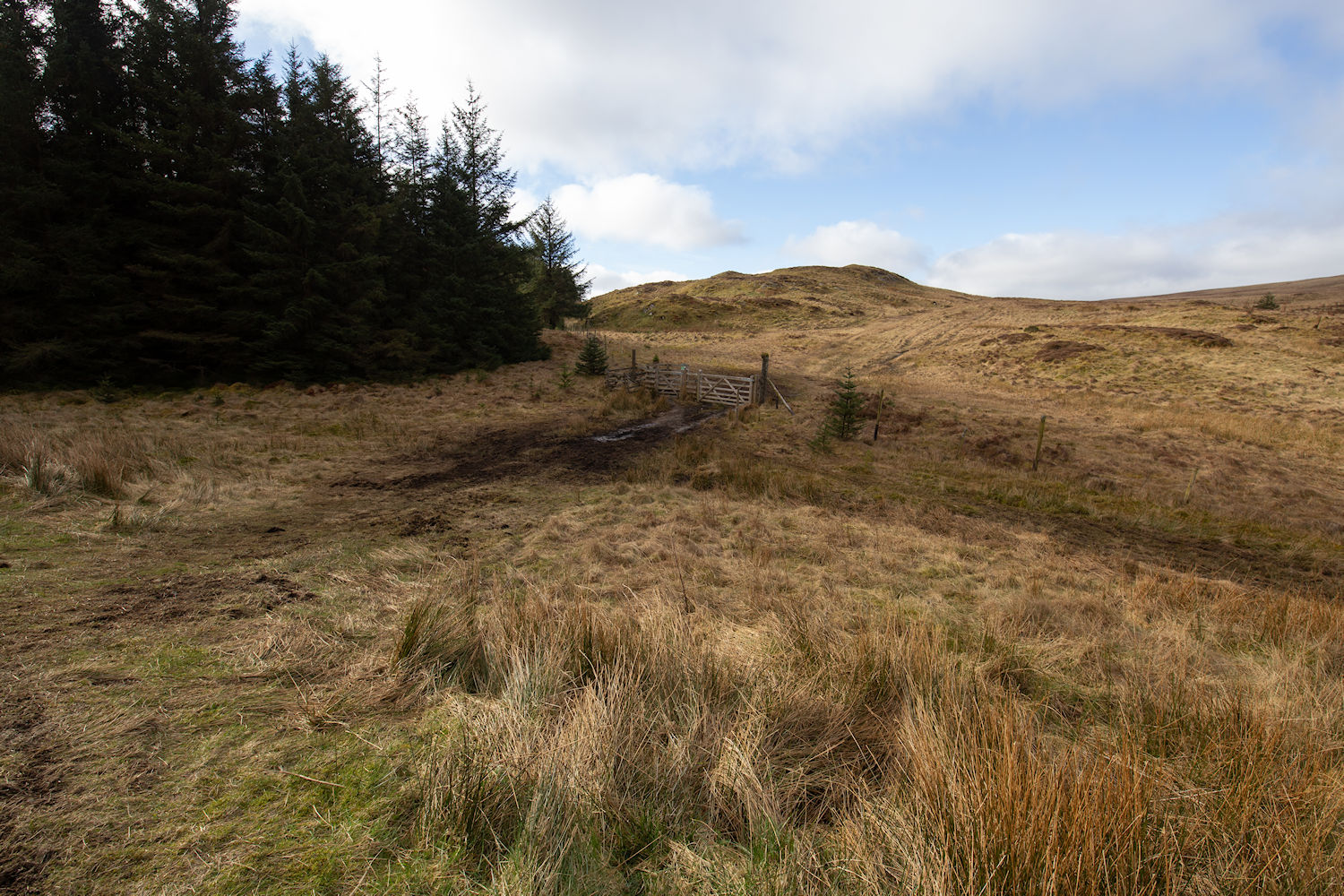
Sometimes my photos wont help you at all. LOL
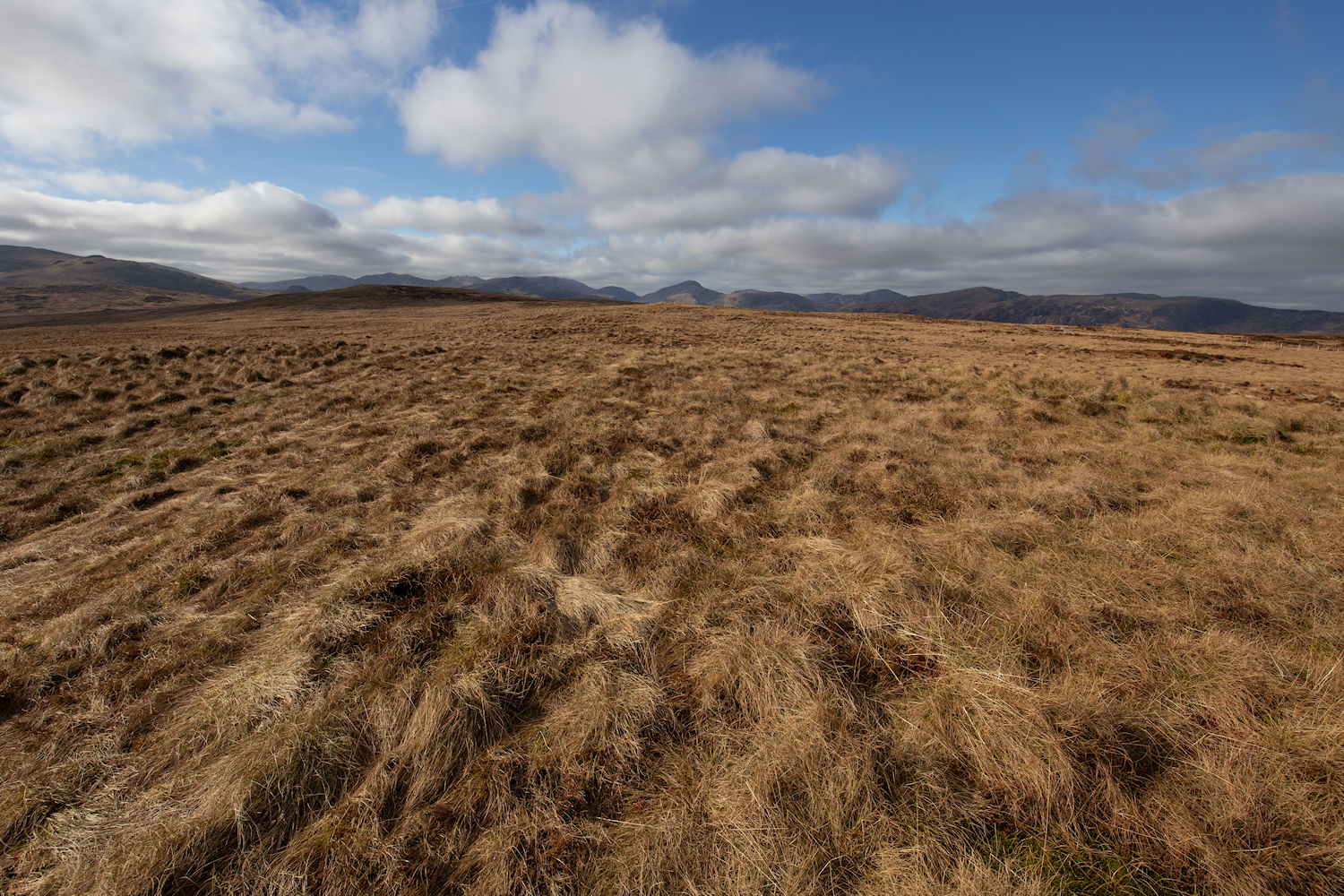
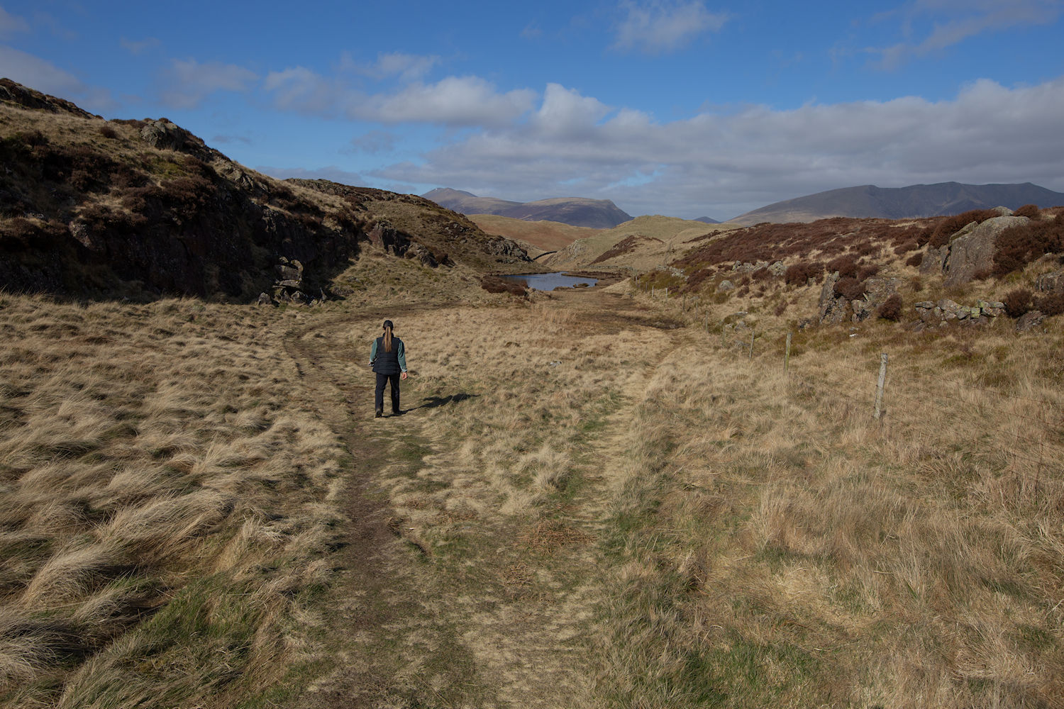
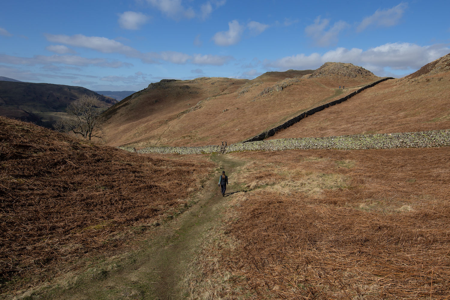
This area is renowned for bog. I decided that we would aim towards High Tove and get onto the path to avoid a lot of the wet ground.
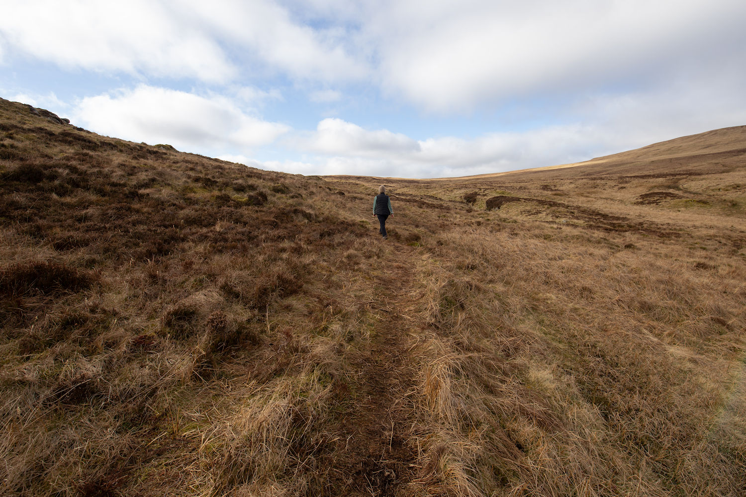
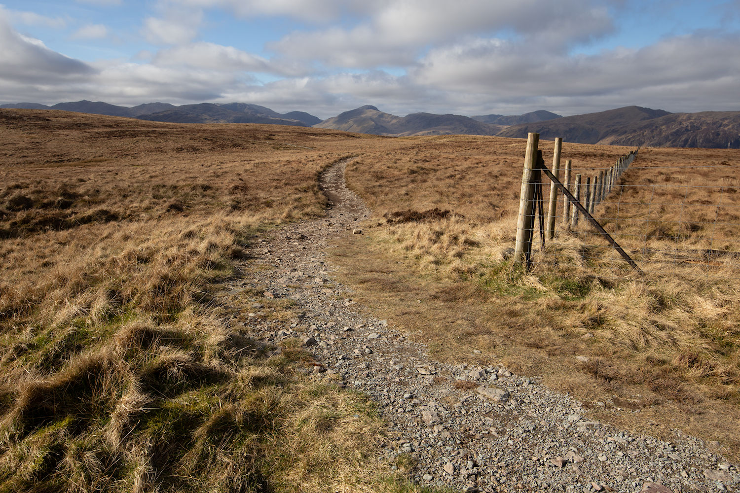
Yes! Onto the path. I knew it was here somewhere and this would lead us on to High Tove.
High Tove. Last time I passed here, I couldn't be certain that my boots touched it. Not being one for cheating, I couldn't tick this off my bagging list without actually standing right on it. (anxiety over)
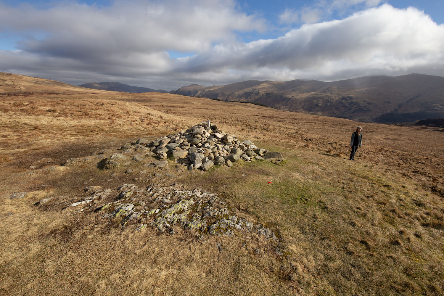
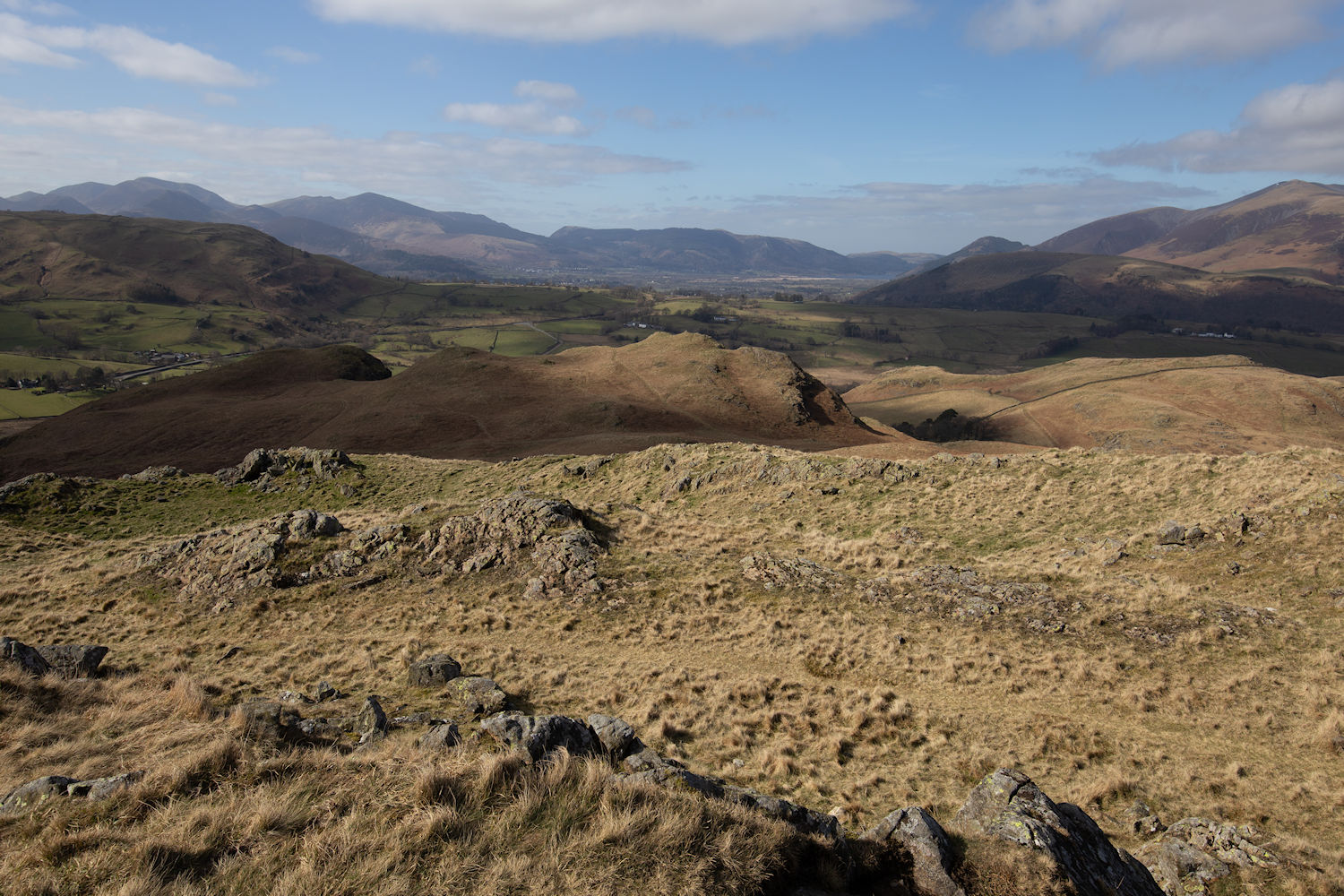
Armboth Fell. This spot has multiple cairns and boulders which look like the summit, I wasn't sure which was the Wainwright, so we climbed onto them all.
Heading through some boggy ground on our descent to Cockrigg Crags (re-read that one) :)
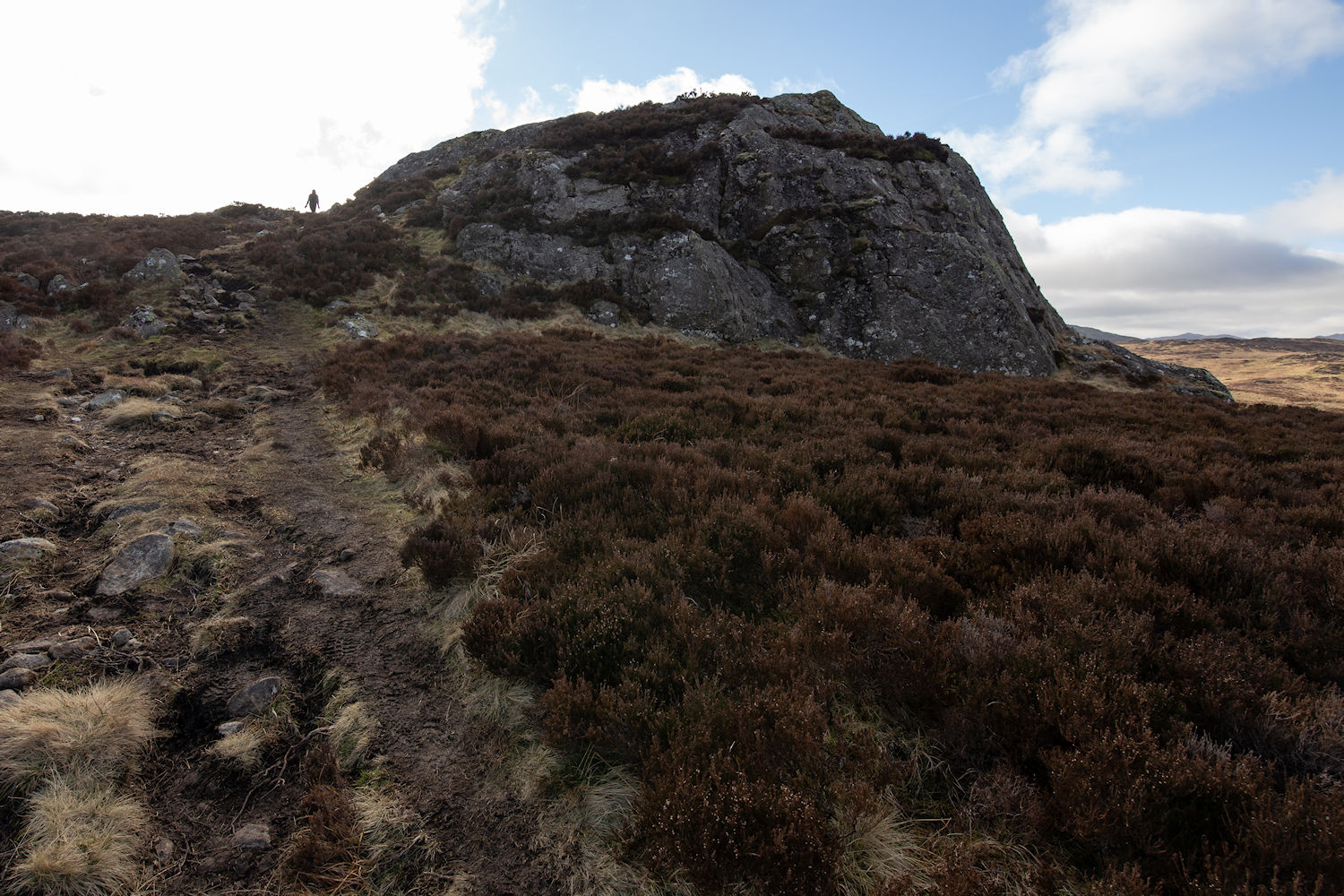
Cockrigg Crags (still funny)
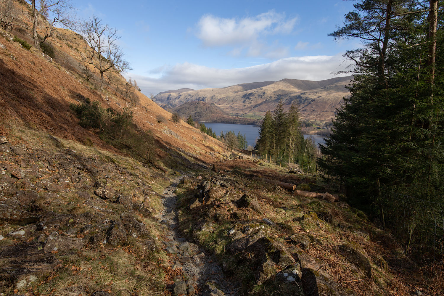
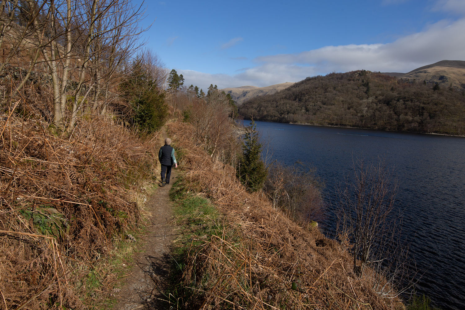
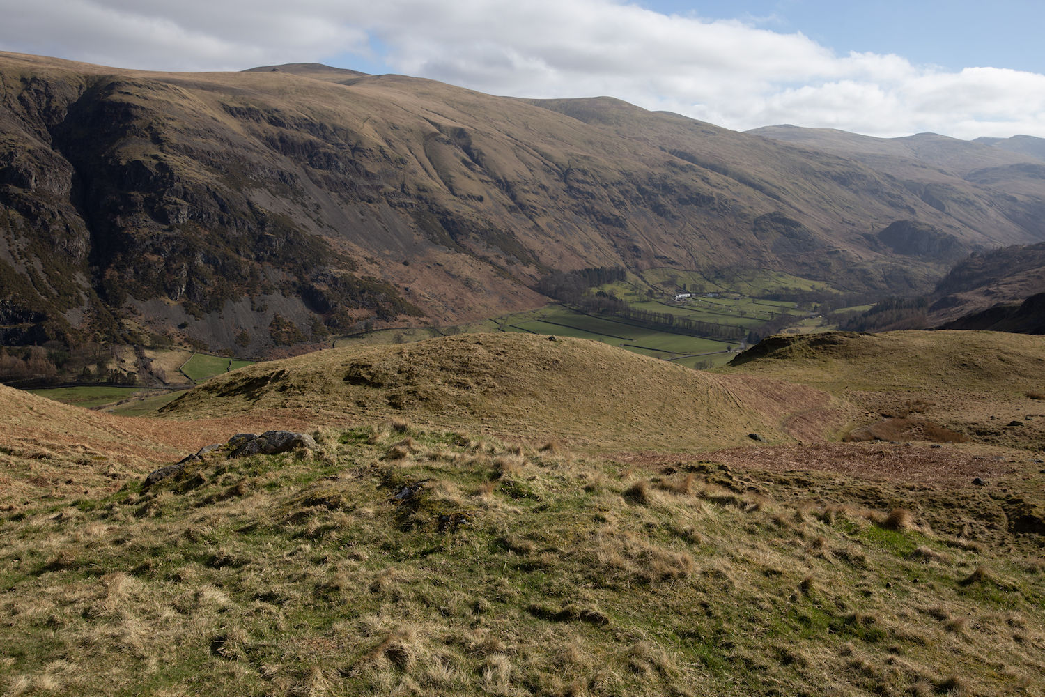
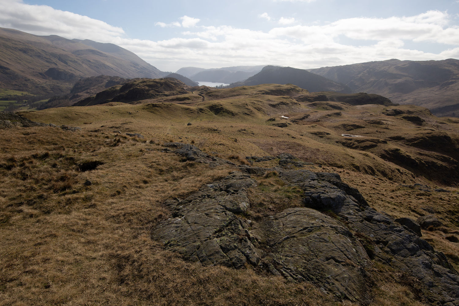
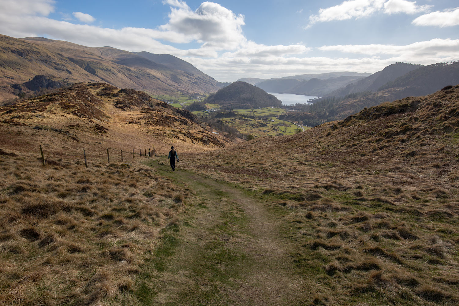
Down to Thirlmere
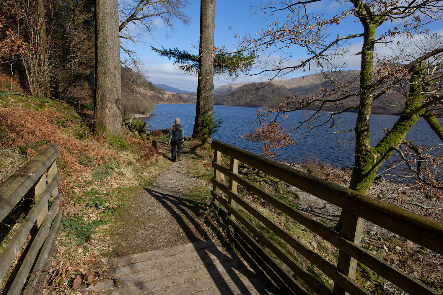
Following the path north, along the reservoir.
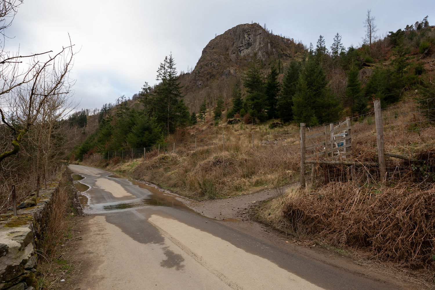
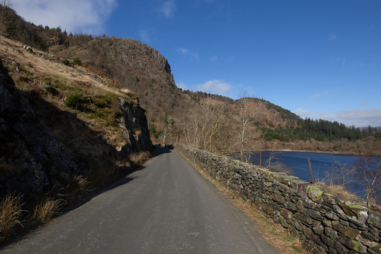
Raven Crag from the road as we approach the car park. The plan next was, lunch in the car and then another hike a bit further up the road.
High Rigg
DATE 17.03.2025 | DISTANCE approx 6KM approx | HIGHEST POINT 357M
Posted by Matt | Filed under lake district
Download GPX file
The next hike starts from the A591 near Bridge End Farm
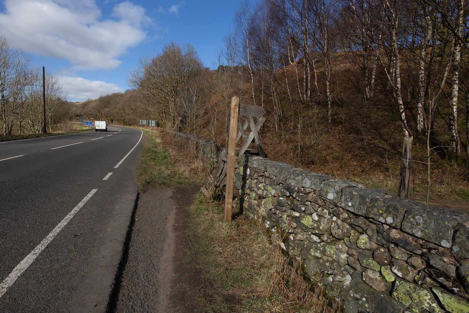
Left Left Left
Heading up to Wren Crag but taking a look back to Great How and Raven Crag.
Raven Crag and Bridge End Farm.
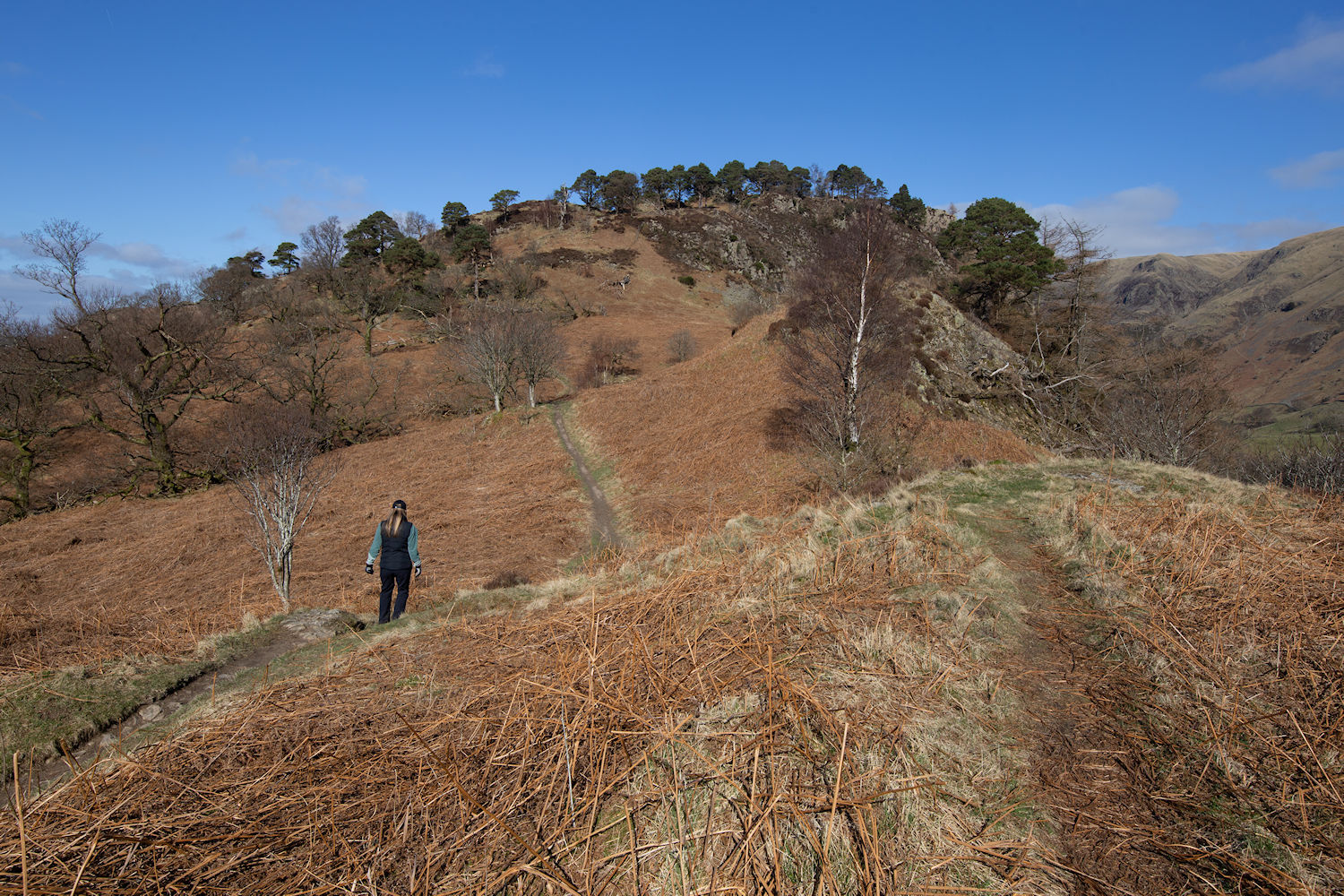
Pushing up to Wren Crag, ahead.
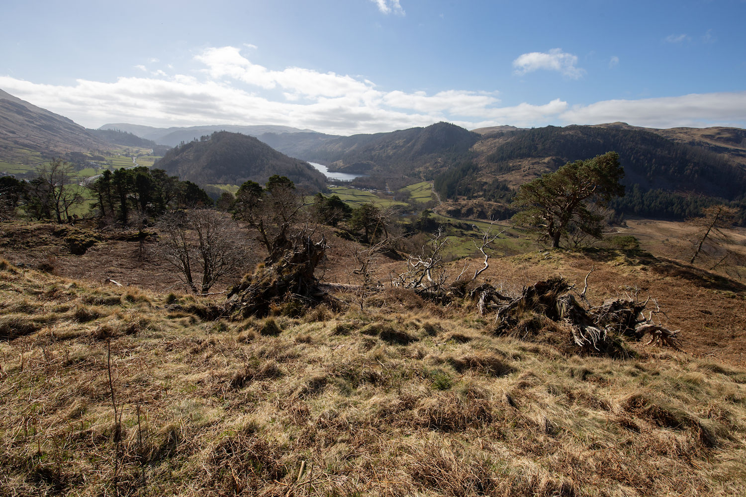
The view back from Wren Crag.
Heading north along the Long Band.
Blencathra range in the distance.
approaching a small, unnamed tarn.
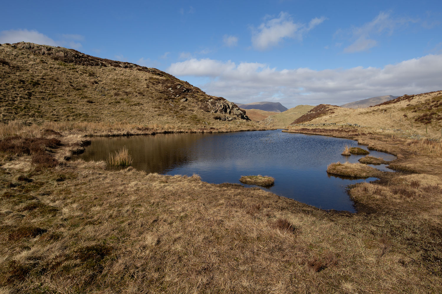
Paper Moss
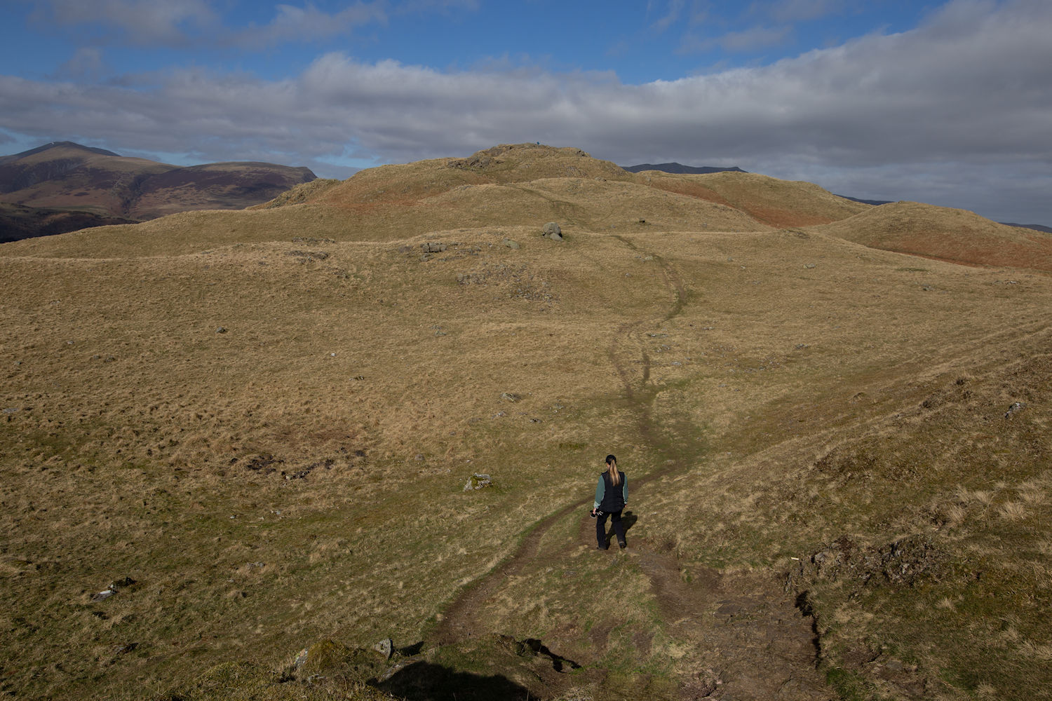
It may have been a short hike but it was certainly a rugged one. Approaching the summit of High Rigg.
The Dodds and what looked to me to be a breast. Sorry.
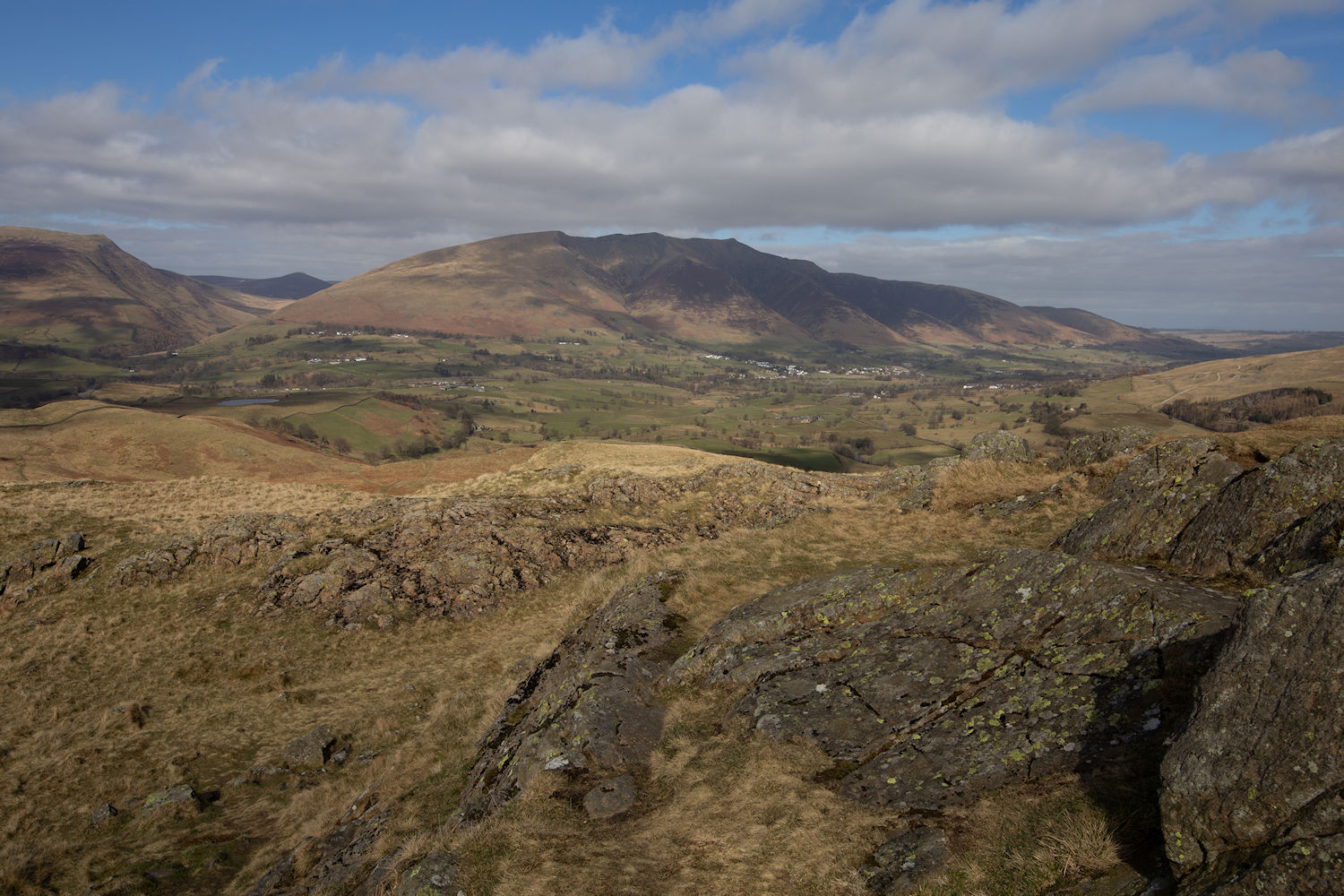
High Rigg, the Skiddaw range in the distance and Burns Farm to the right.
Looking west towards Keswick.
Blencathra
The view back on our return journey.
Almost back, feeling rather tired. 6 small hikes over two days.