
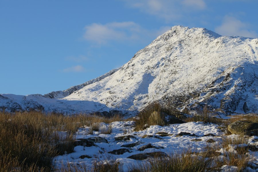
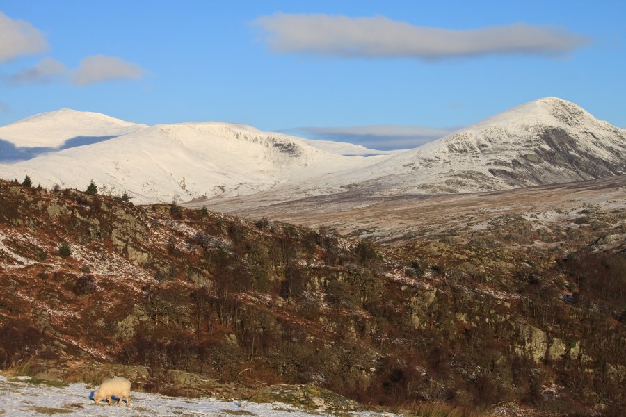
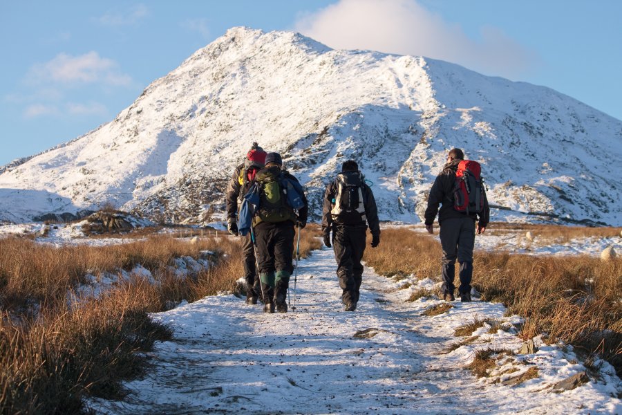
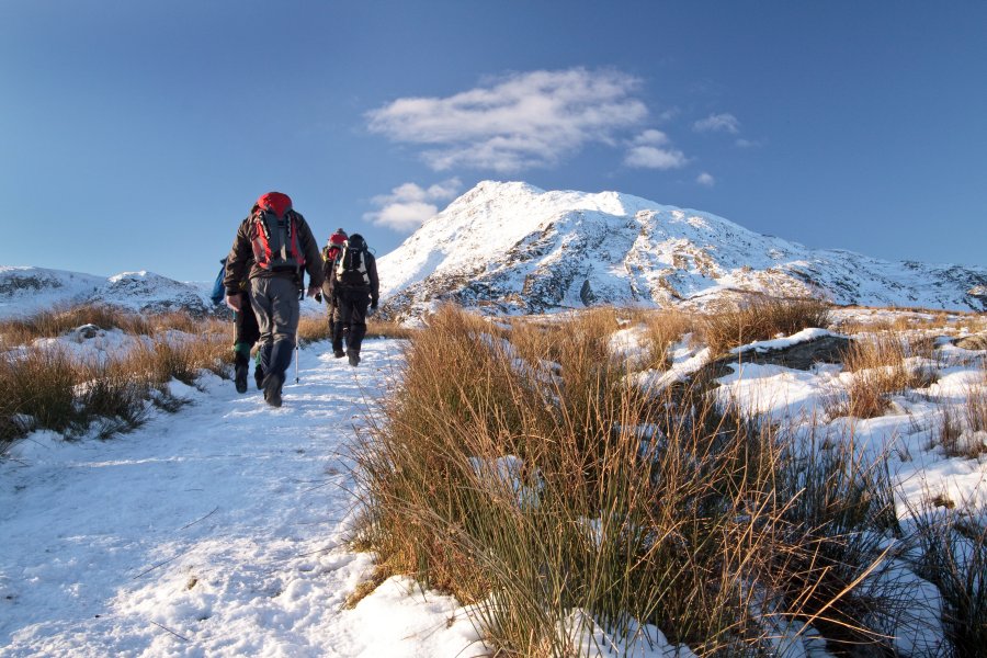
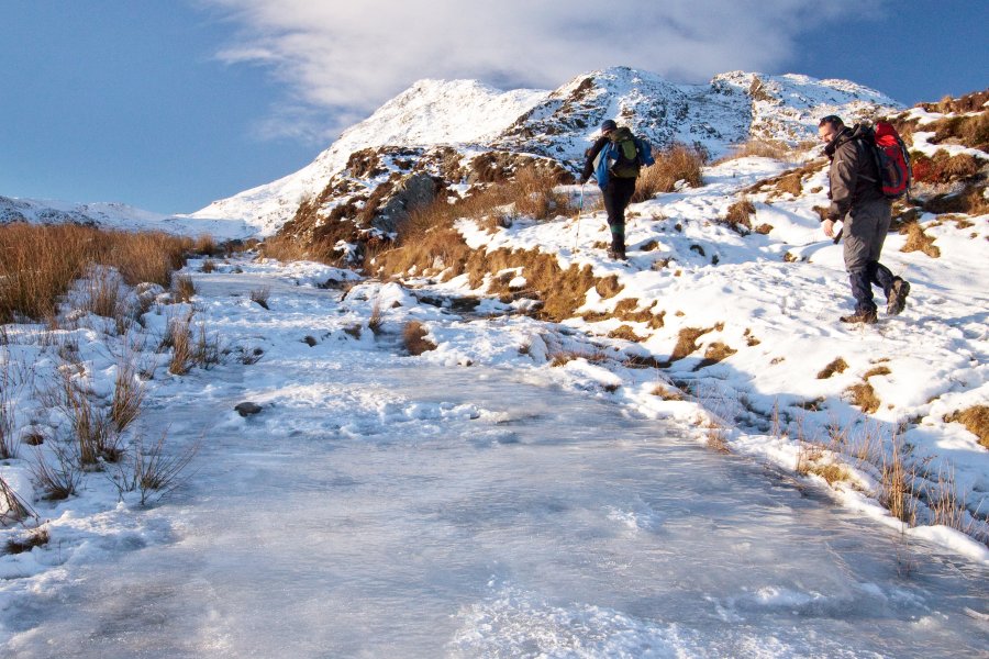
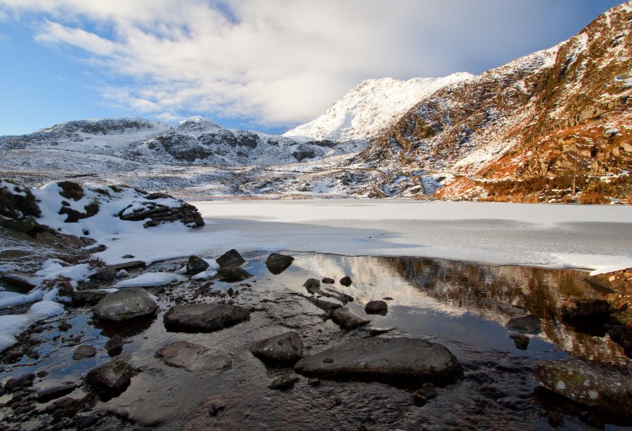
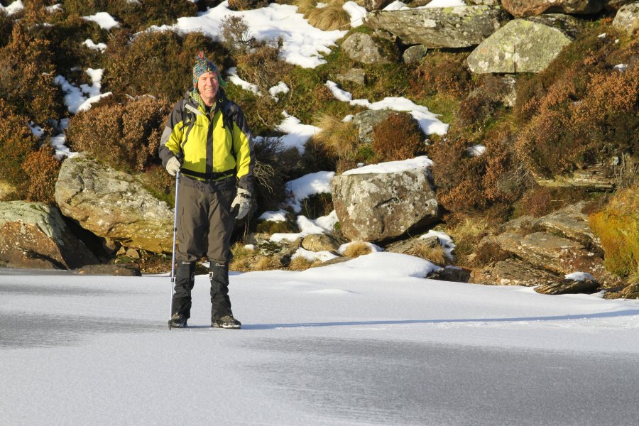
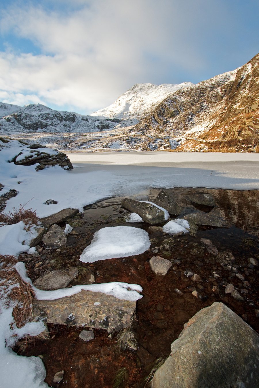
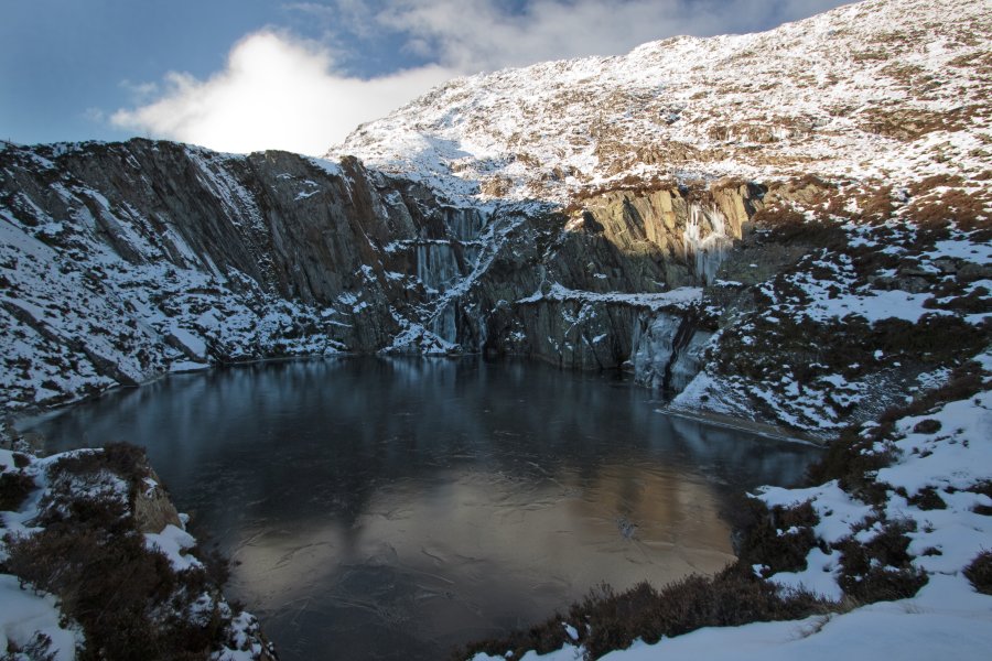
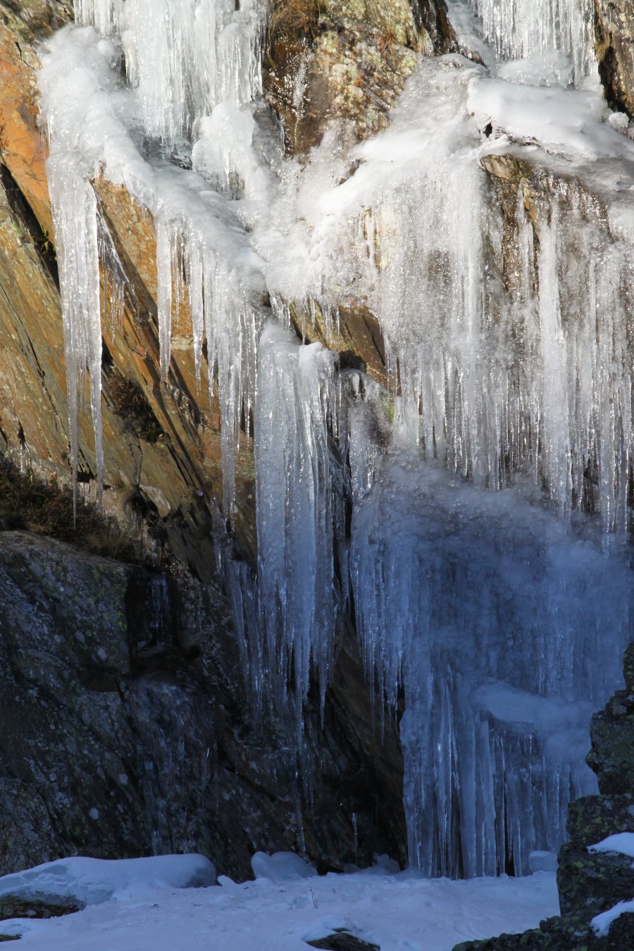
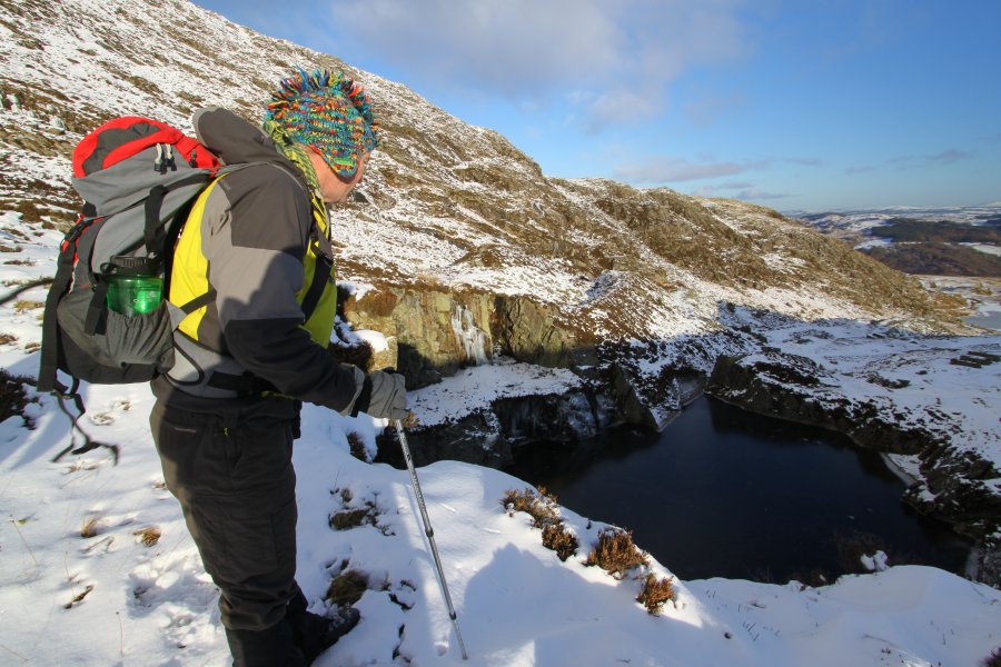
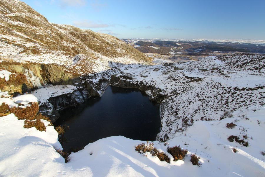
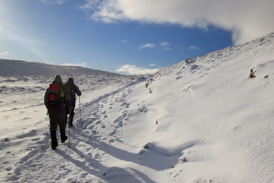
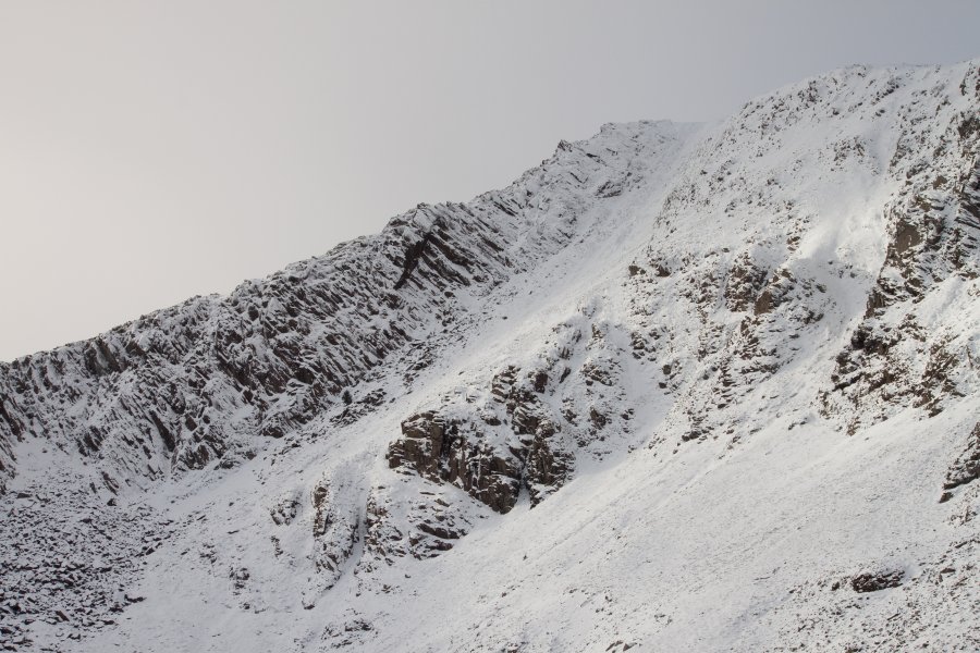
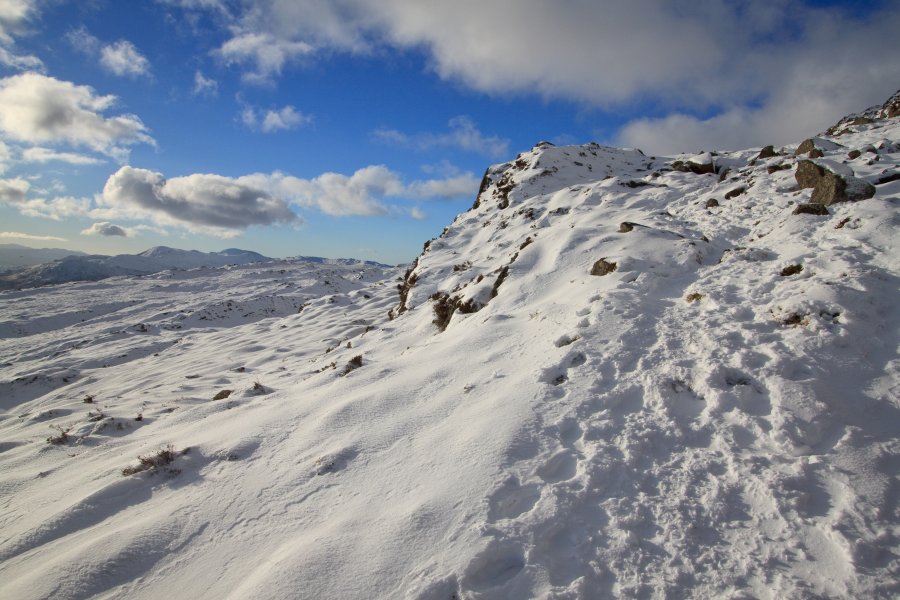
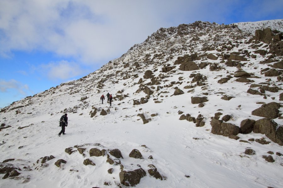
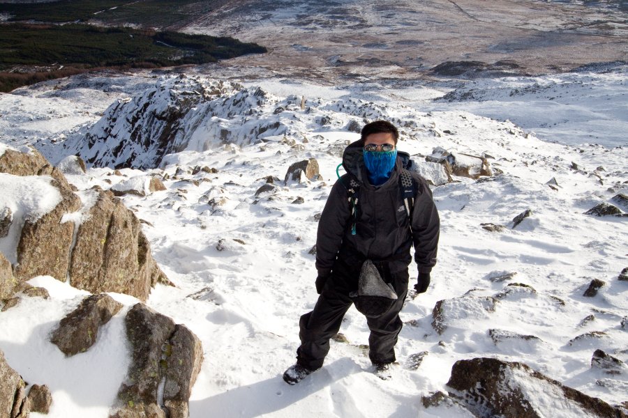
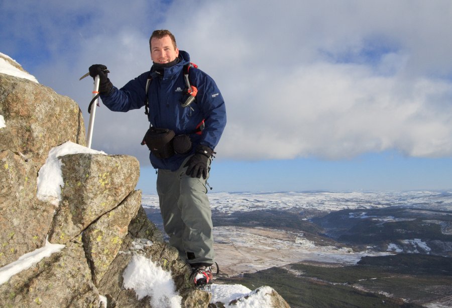
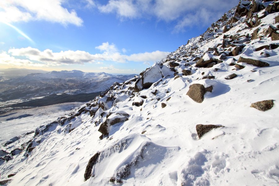
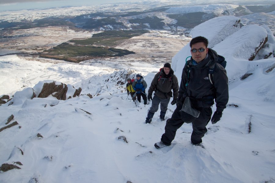
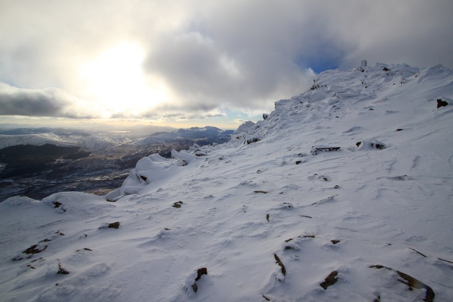
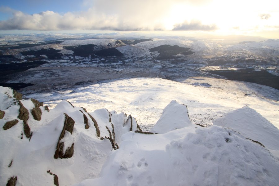
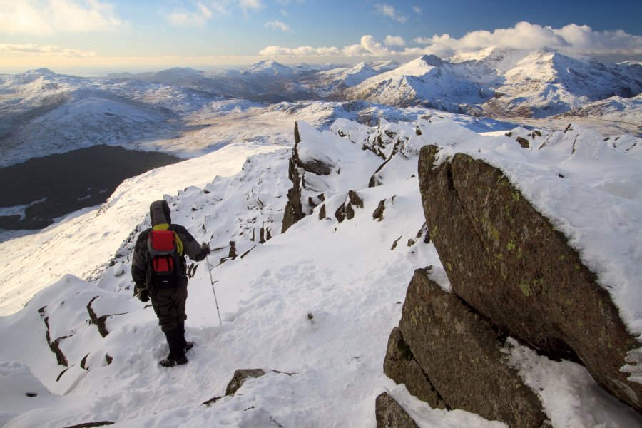
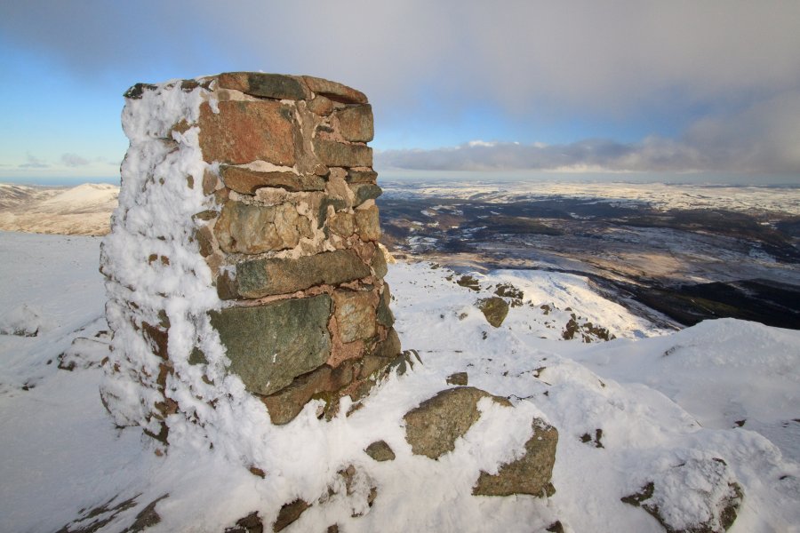
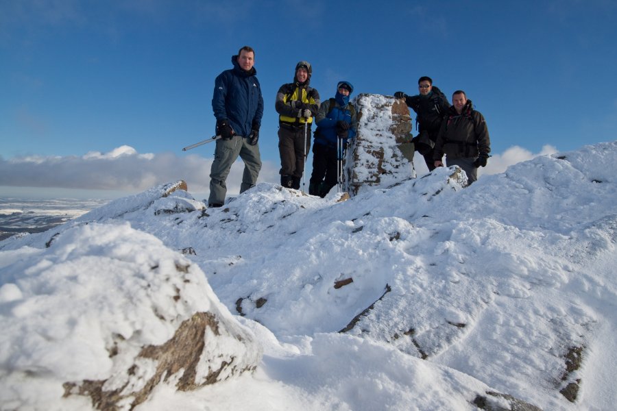
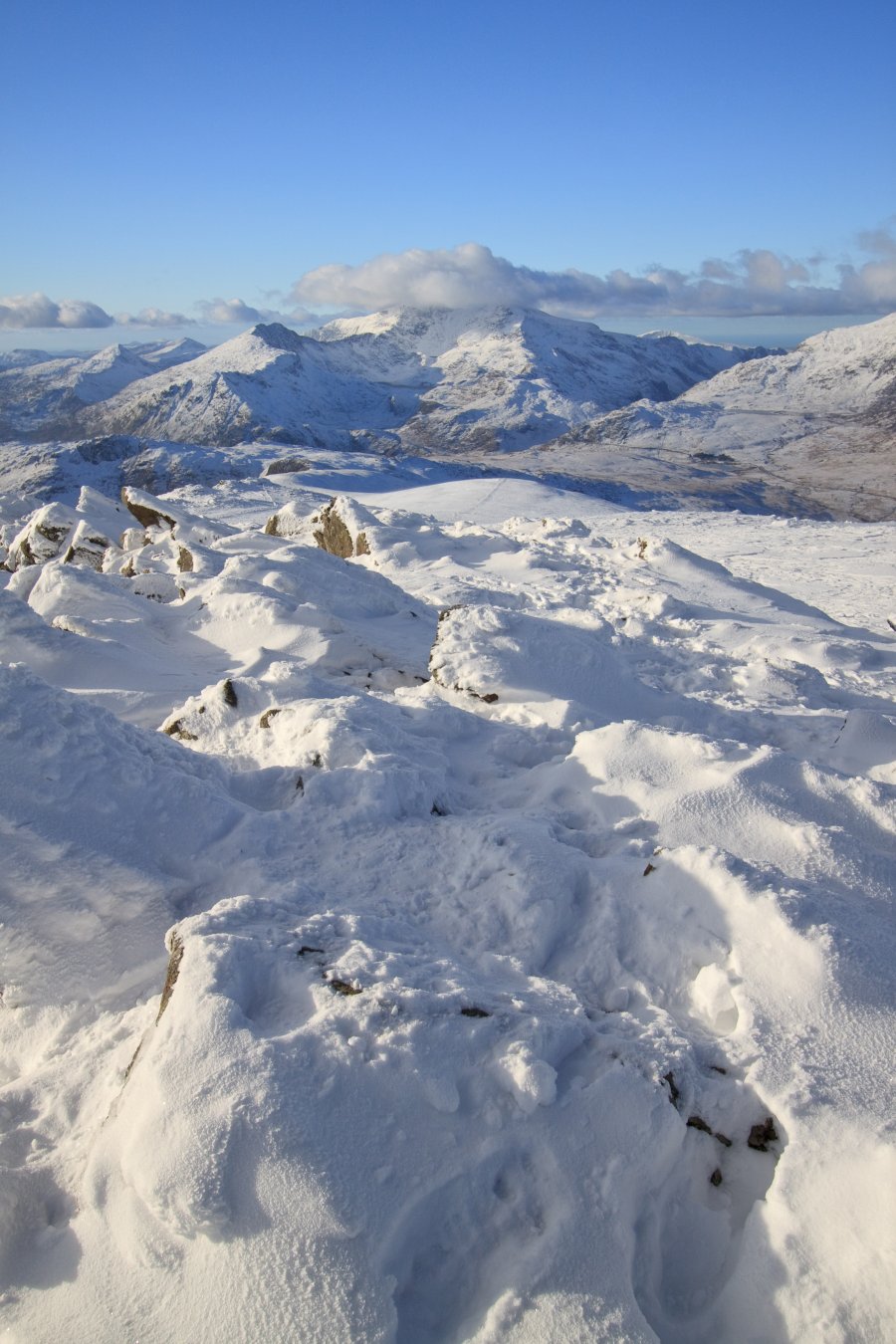
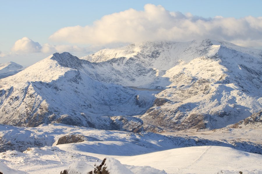
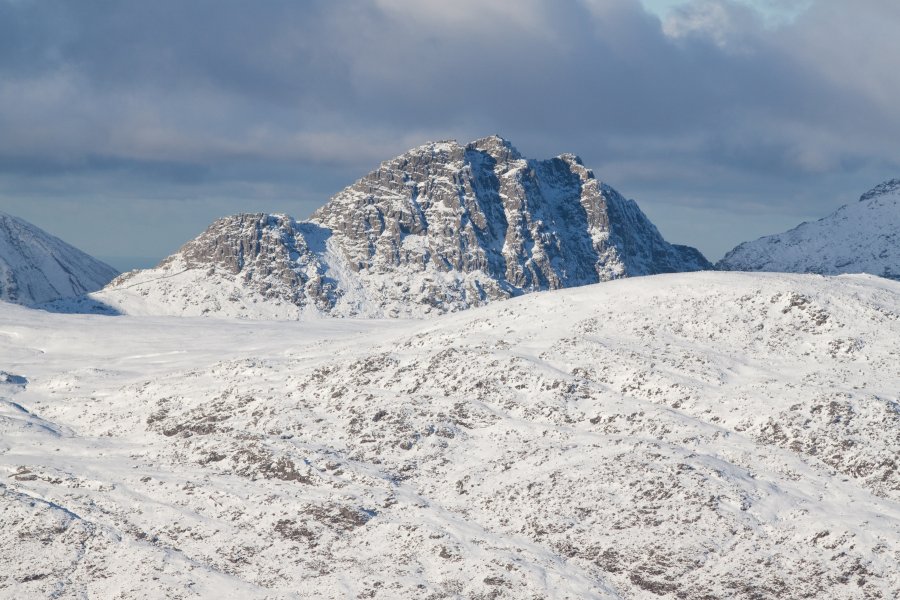
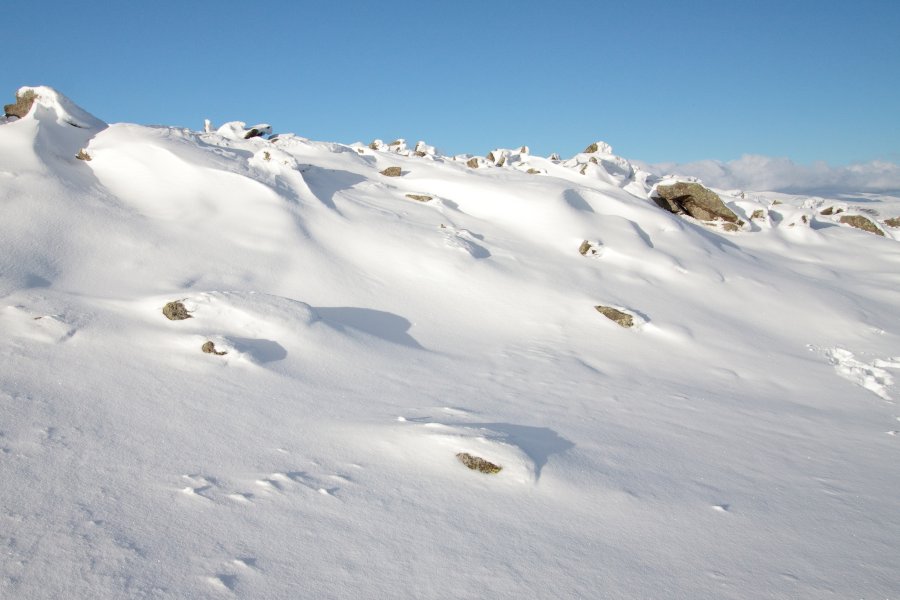
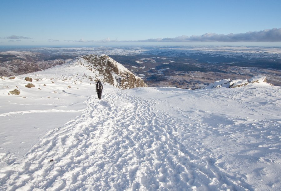
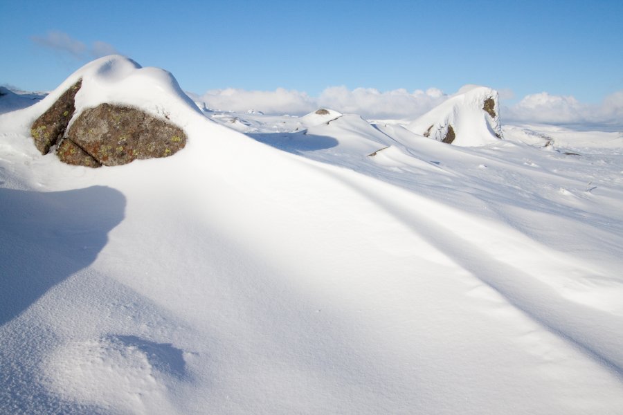
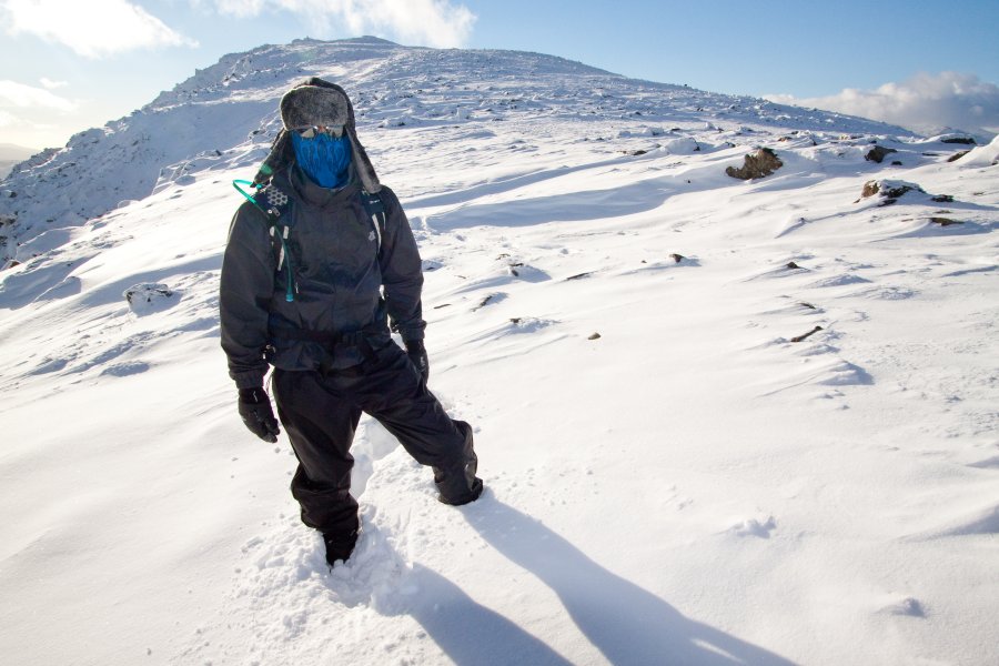
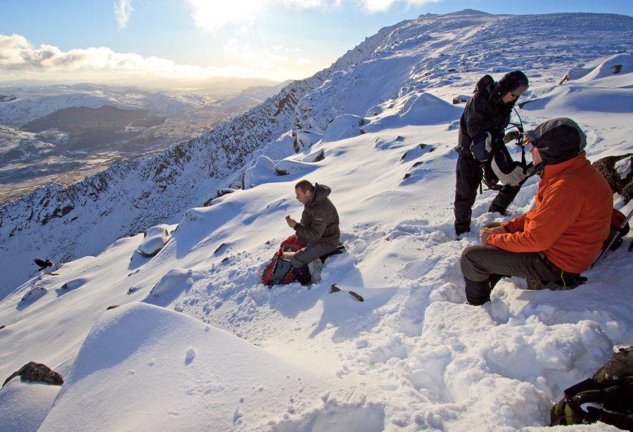
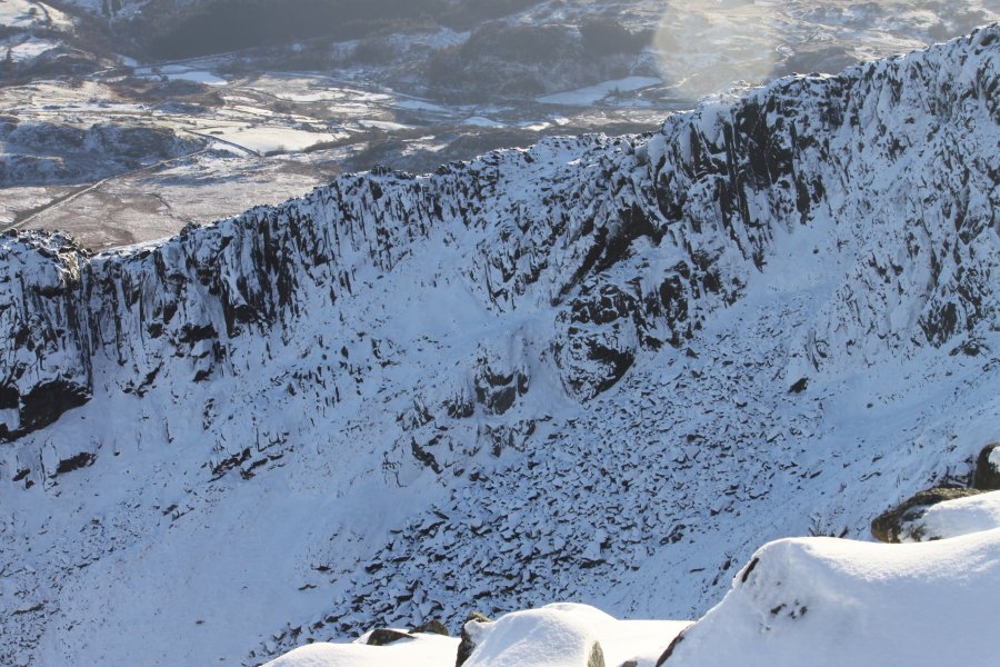
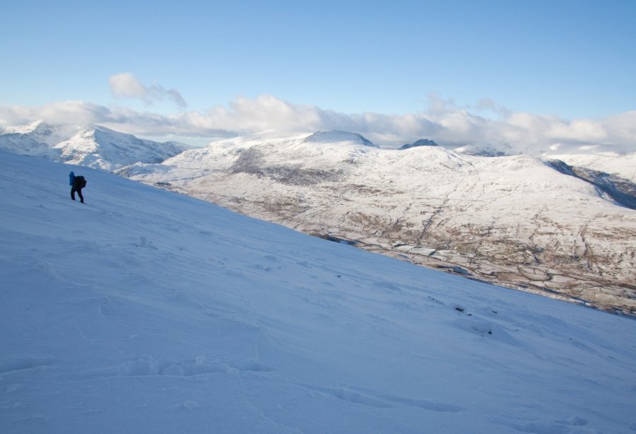
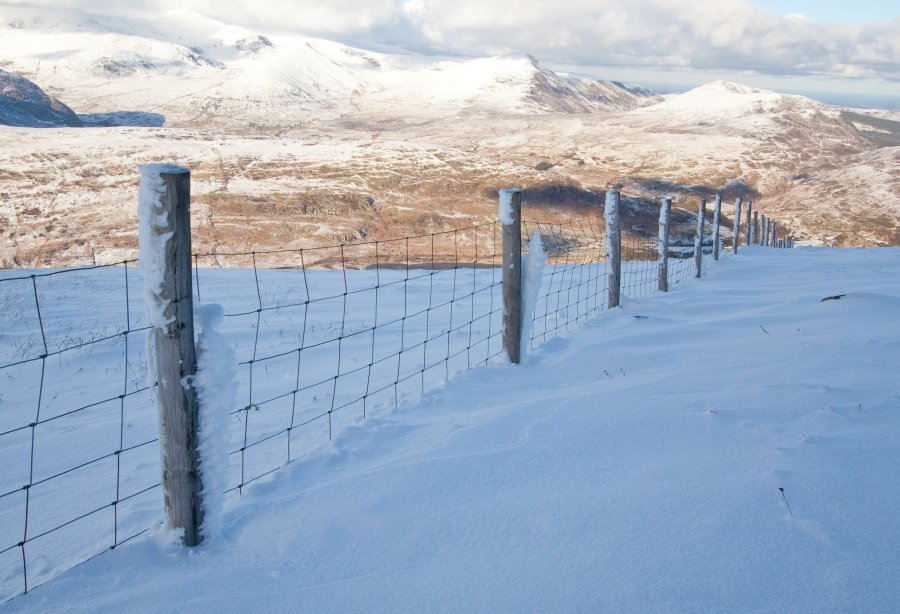
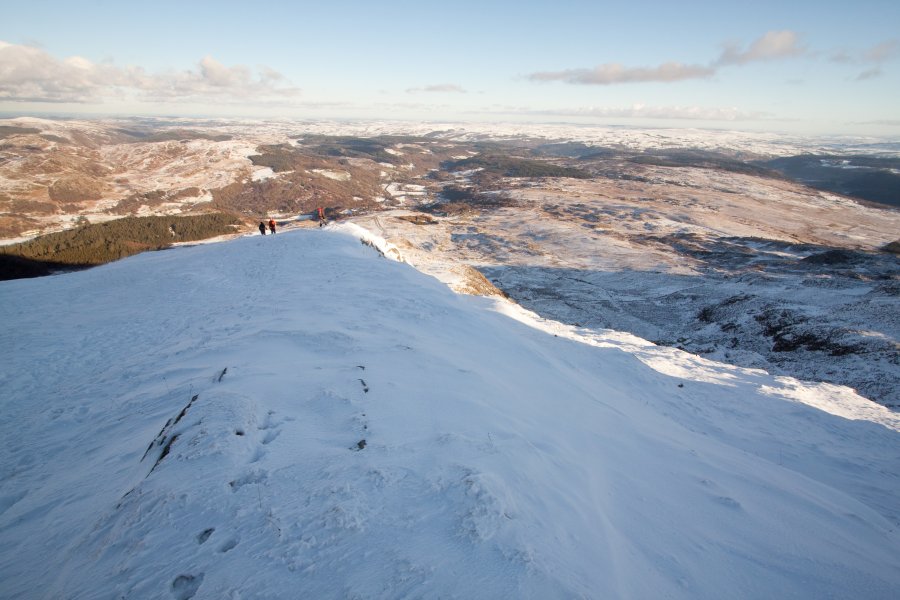
Moel Siabod
DATE 08.12.2010 | DISTANCE 8.5KM | HIGHEST POINT 872M
Posted by Matt | Filed under snowdonia
DATE 08.12.2010 | DISTANCE 8.5KM | HIGHEST POINT 872M
Posted by Matt | Filed under snowdonia

![]() This site is my way of documenting the few walks that I have done so far with my camera either alone or dragging along some of my misfit friends. Within this site you will find Photos and Route maps detailing my days spent at high places. I hope this will help you in planning your own adventures. Learn more...
This site is my way of documenting the few walks that I have done so far with my camera either alone or dragging along some of my misfit friends. Within this site you will find Photos and Route maps detailing my days spent at high places. I hope this will help you in planning your own adventures. Learn more...
