Catbells after Storm Desmond
DATE 06.12.2015 | DISTANCE 9.5KM | HIGHEST POINT 451M
Posted by Matt | Filed under LAKE DISTRICT
Download GPX file
Reading the weather reports on the days leading up to our trip to the lakes didn't faze me at all. I think weather reports are often wrong and usually seem exaggerated. There was no denying that the tail of a storm would hit scotland and northern England but i still planned for walkable weather assuming it was all going to be fine. By the time we reached Scotch Corner in the car at the start of the A66 it was apparent that it wouldn't be wise to be walking on day 1 of our weekend trip. It was grim!! Howling wind and relentless rain for the remainder of the car ride, so a plan b for the saturday had to be communicated to the other cars in our fleet. "Lets just go to keswick, sit in a pub and wander around some shops" i said.
As we dropped down into keswick we were met by Mountain Rescue who had blocked off the road. They told us to park on a side street as keswick centre was closed off due to flooding. Looking across to the river to the right of us hit me with the severity of the situation. The river looked like one of the flash floods you see in asia. massive volumes of water at great speed was passing us by on the swollen river. We chose to park up anyway and walk in to town. It was throwing it down!! By mid afternoon the town was looking almost empty apart from the occasional person running through the main high street AND jumping puddles, The shops seemed to be shutting early and it felt like the town was evacuating. An attempt was made to drive to our cottage near Cockermouth but the A66 was closed north due to flooding of the road from Bassenthwaite lake. the police informed us that there was no way of going north, no way of going to the western part of the lakes and we were more than likely trapped in KESWICK.
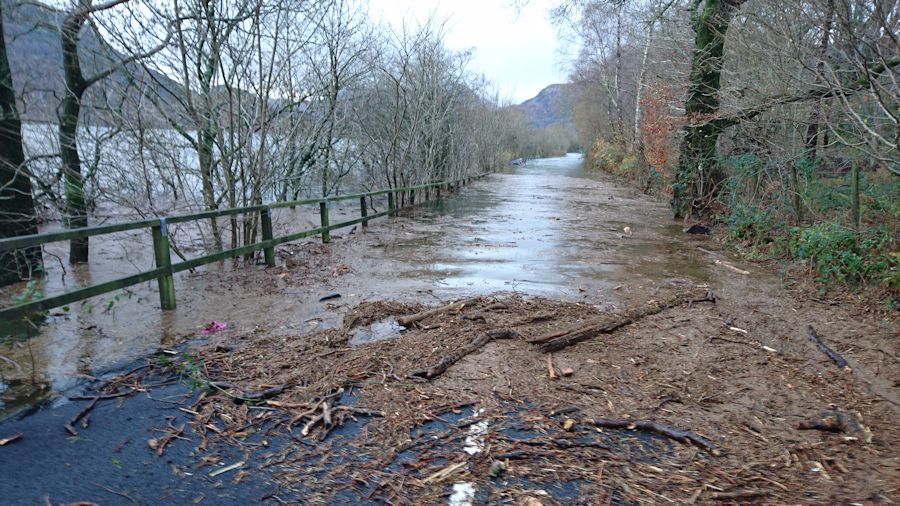
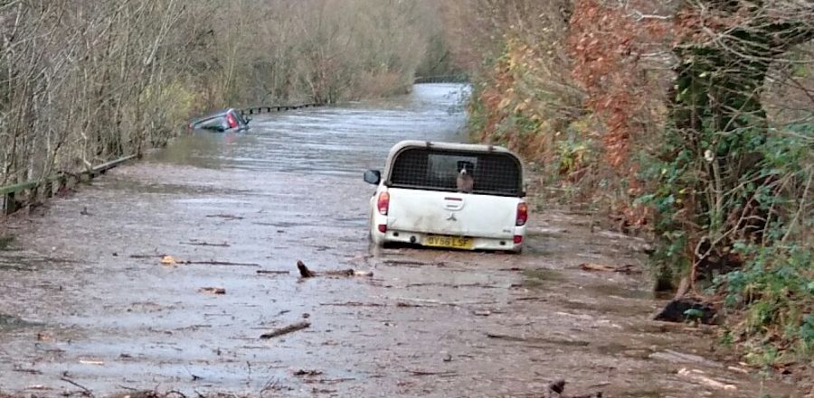
We made a very slow attempt to get out of town and HEADED onto the a66 eastbound towards Penrith. The roads were flooded with large pockets of deep water to ford and huge torrents of water could be seen crashing down into the road from the surrounding hills. the radio station was warning of devastating conditions in kendall, Cockermouth and carlisle and it seemed like the rain which hadn't stopped all day wasn't going to end. Half of our group decided to just head home thinking that there was no other option and no way of getting to the cottage but between the 4 of us in my car we decided to try and find another route to the cottage by joining the m6 at Penrith and looping around towards Cockermouth. Satnav said that the route it had mapped would take about 40 minutes, unfortunately though due to many flooded and closed off roads it took us 3 hours!! So that was day 1 of our weekend over.
The next morning after a night of listening to gale force winds outside we woke to see it had stopped raining and was actually quite mild. we headed back to Penrith without too much trouble but listened to grim descriptions of the damage caused in other parts of the lakes. As we arrived in the centre of Penrith it looked like a normal day with people going about there usual business and the sun was breaking through the clouds. We made a decision to try and at Least get a small walk in before the 4/5 hour drive home. We had persisted through so much it had to feel worthwhile.
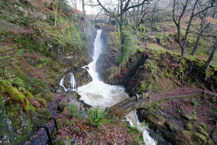
We came up with a plan to see if we could drive down to Glenridding and do the walk that i had planned for the day before, a short hike up Sheffield Pike and an early departure for home. We took the Matterdale route down to Ullswater and that's about as far as we got. The section of the a592 in front of us was completely flooded over by the swollen lake. There was no way we were going to Glenridding. I swung the car around and as we were right next to Aira Force we decided to go and see how much of an impact the flooding had on the falls. I'd say it was equally as impressive as usual, just more ferocious!
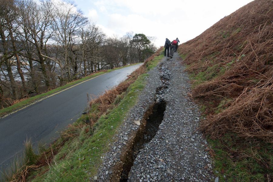
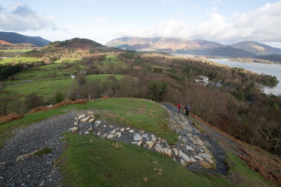
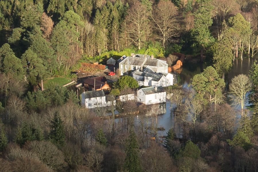
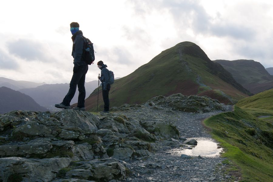
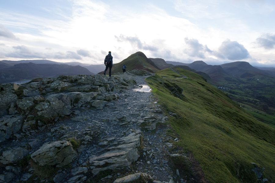
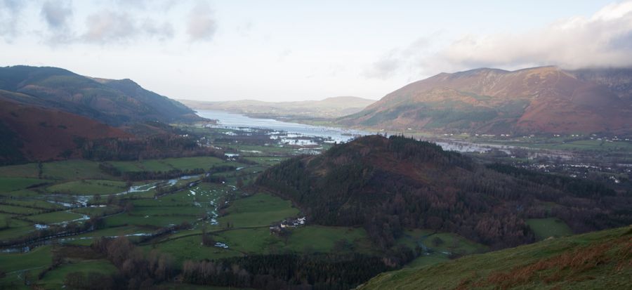
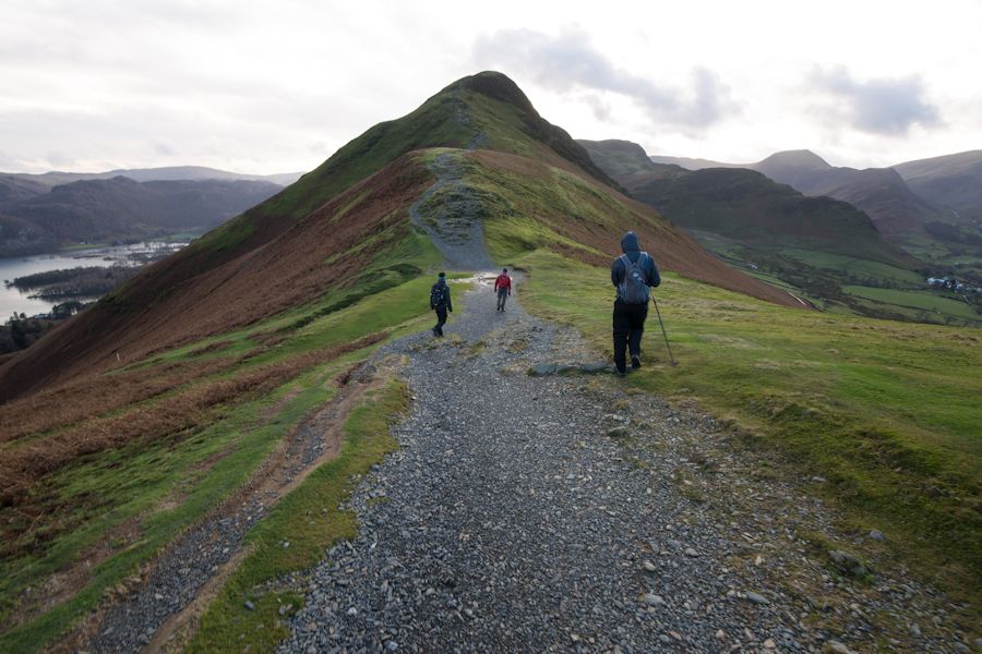
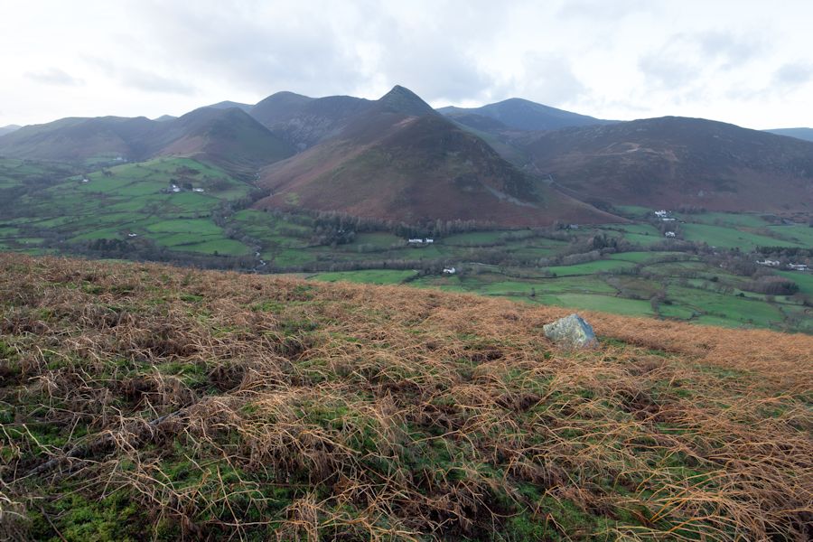
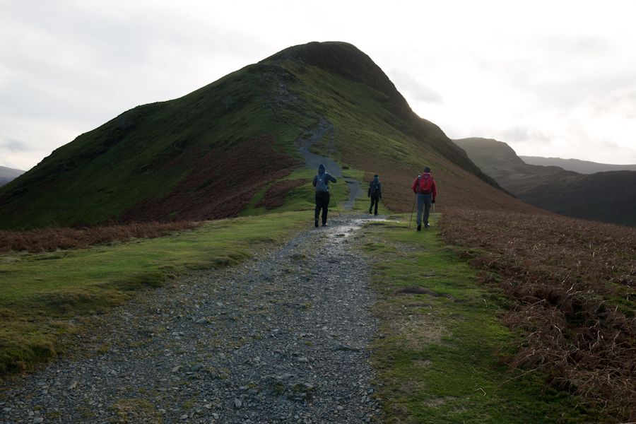
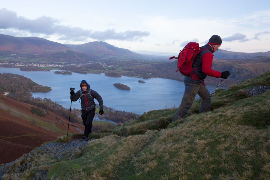
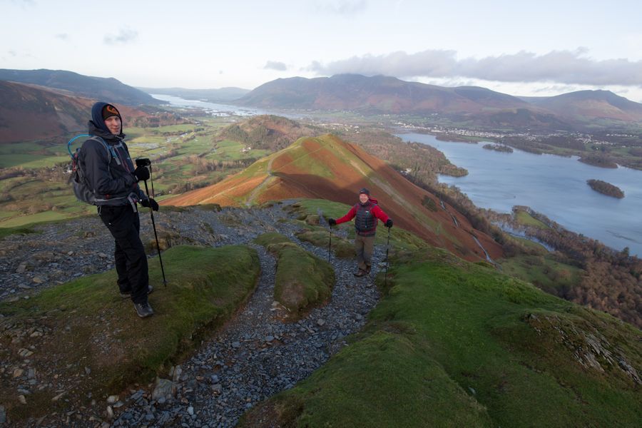
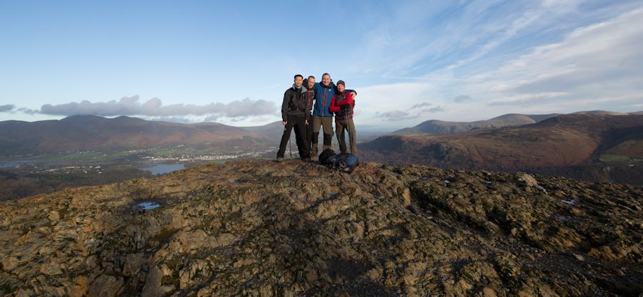
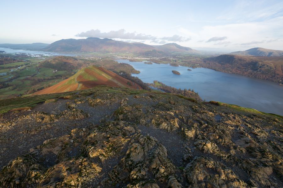
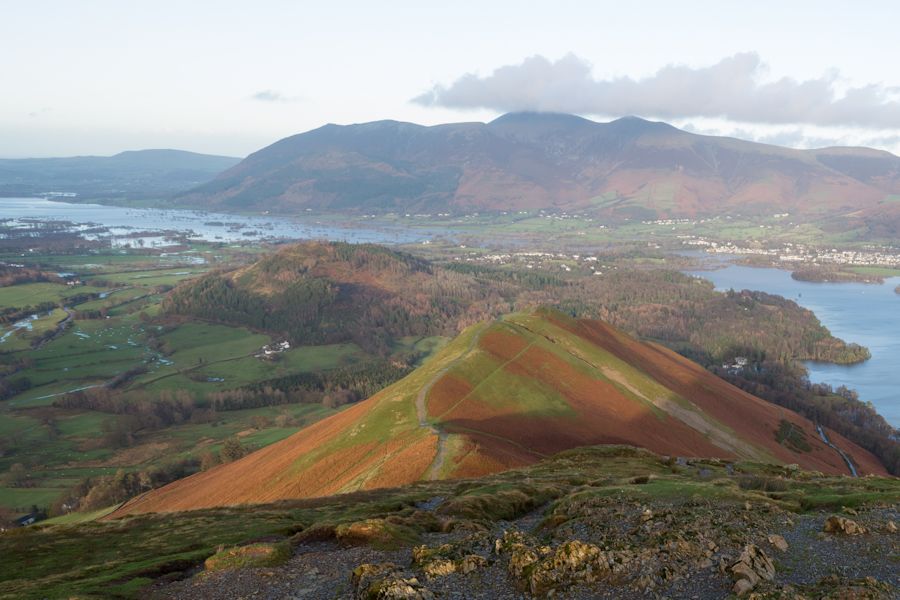
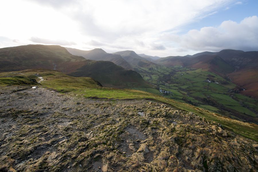
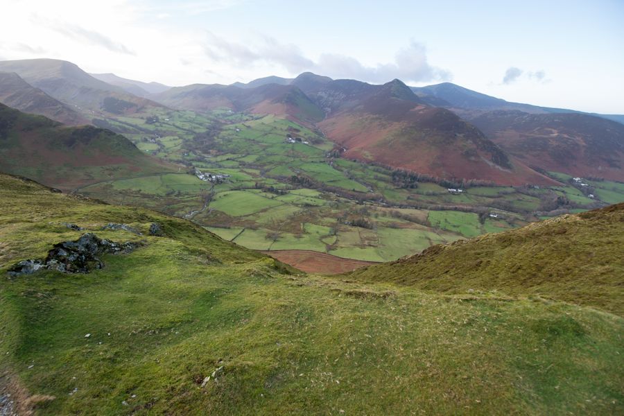
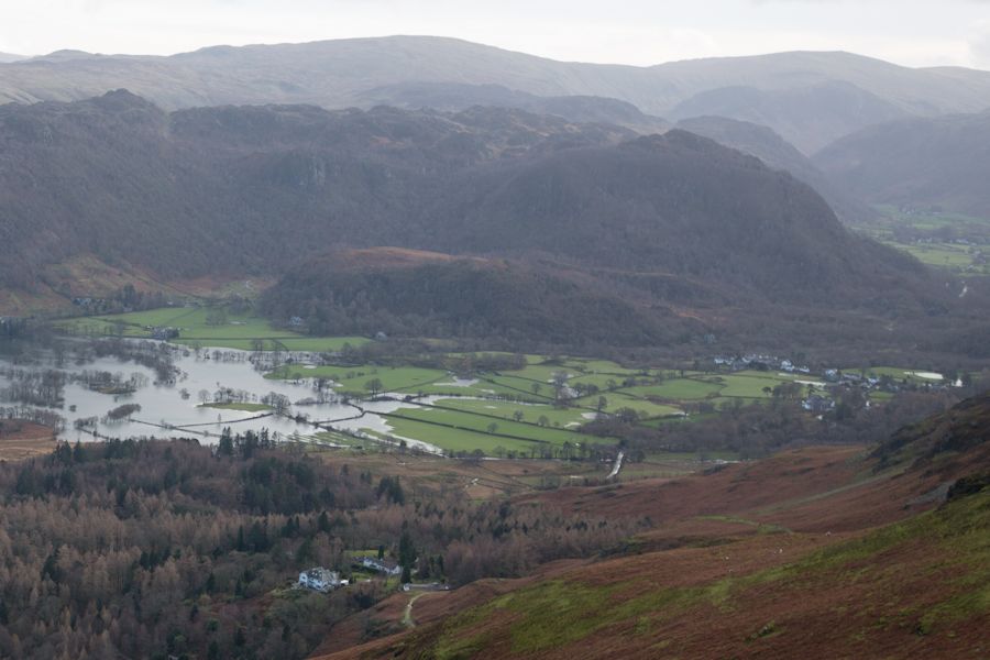
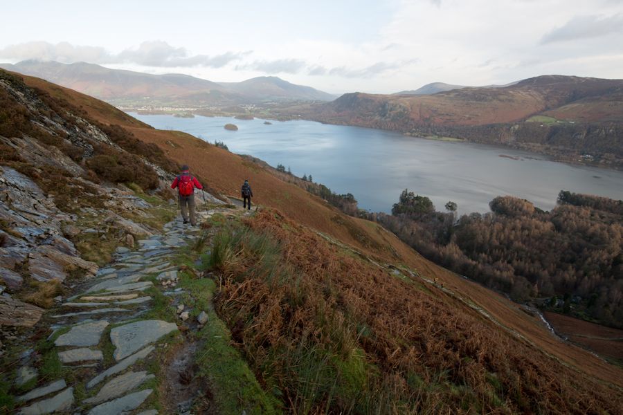
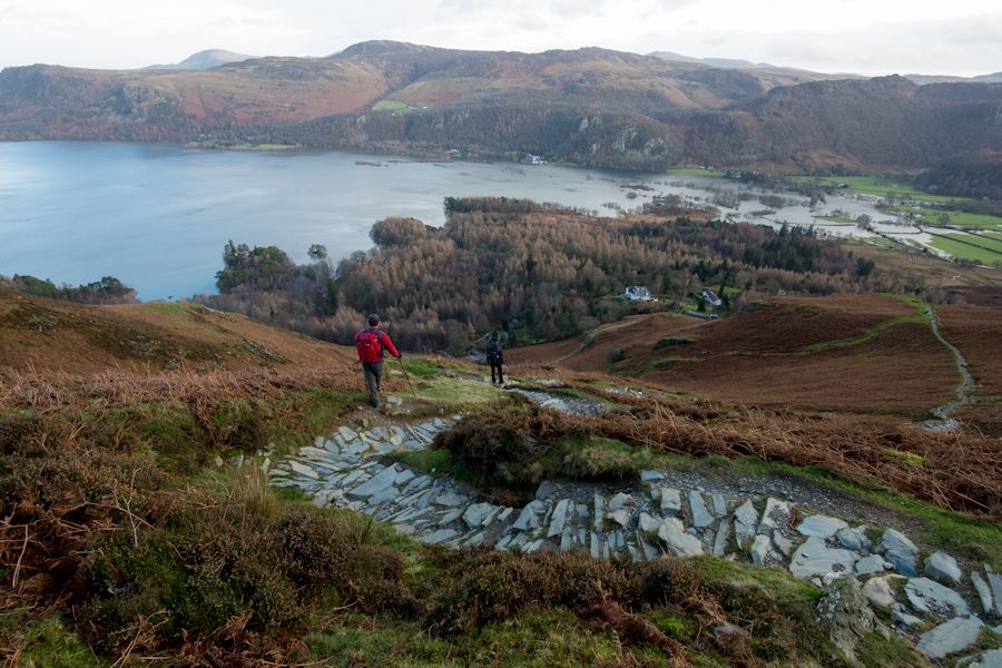
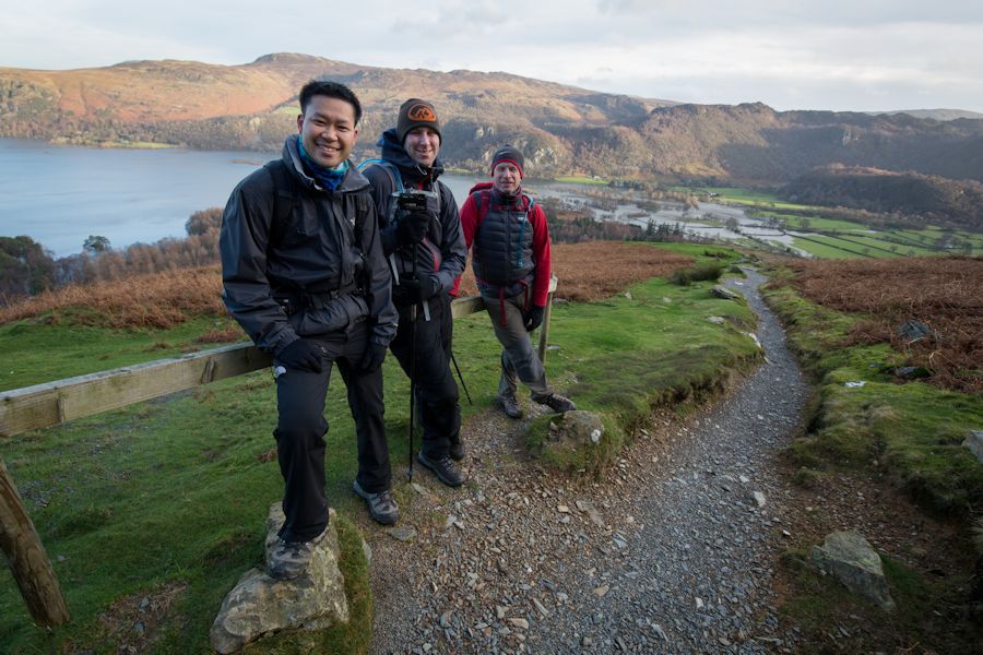
Our final plan before giving up was to head back towards Keswick and see if we could do a quick summit of Catbells. We really didn't have time for much else. Fortunately the Keswick roads were passable and we got to the foot of Catbells without too much difficulty. By now the sun was out and although rather cold, the conditions for walking were very good. Ascending into the hills the surrounding views revealed the extent of the flooding around Keswick and on the hill itself. Deep cracks in the footpaths leading up Catbells caused by the huge volumes of water looked rather threatening, like the side of the slopes could break away. that might be a slight exaggeration but take a look at the photos and you will see what i mean. Further erosion was visible on the descent and one of the ghylls above Brackenburn had clearly become troublesome to the properties below. In terms of a trip away it turned out to actually be a memorable experience, a battle to remain positive which surprisingly ended with a decent walk. Fortunately we weren't near or couldn't reach the worst hit places and it wasn't until we got home and saw the footage on the news that we really realised what people were going through.