Lago di Sorapis (Dolomites)
DATE 06.09..2023 | DISTANCE approx 13.5km | HIGHEST POINT 2316M
Posted by Matt | Filed under OTHER LOCATIONS
Download GPX file
NOTE: This gpx file will have you return via a different, higher route. we chose to return the way we came due to the heat, it seemed more sensible to stay in the shade where possible.
Day two in the dolomites and another epic hike. staying in auronzo was definitely a great decision, as most of the hikes we did were only 30-60 minutes drive away. i know that sounds like a while but you have to consider the winding roads. We were also lucky that a recently closed road, closed due to a landslide was back open again.
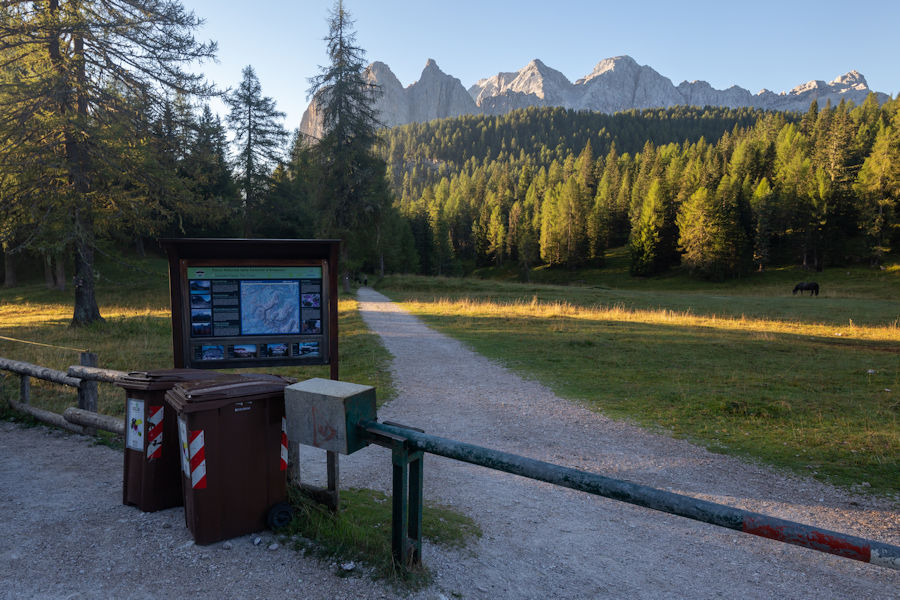
As with every hike in the dolomites on this trip, i suggest arriving at the trail head early to avoid adding extra miles due to where you would have had to park. the sight of cars at the end of these hikes proved it was well worth the early wake up.
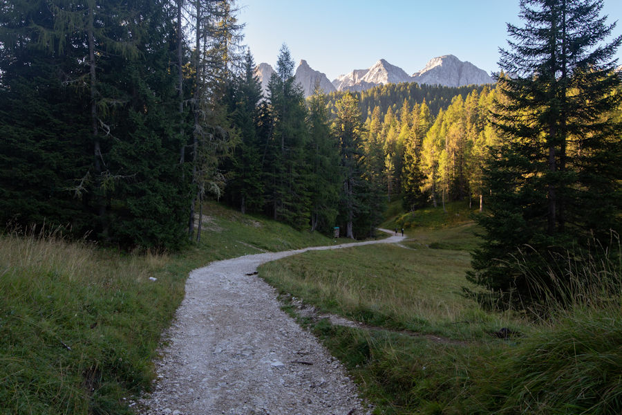
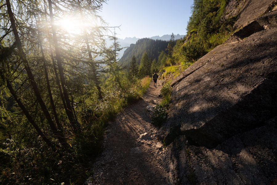
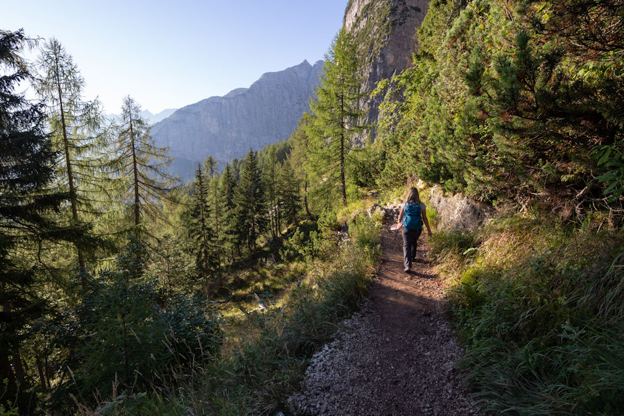
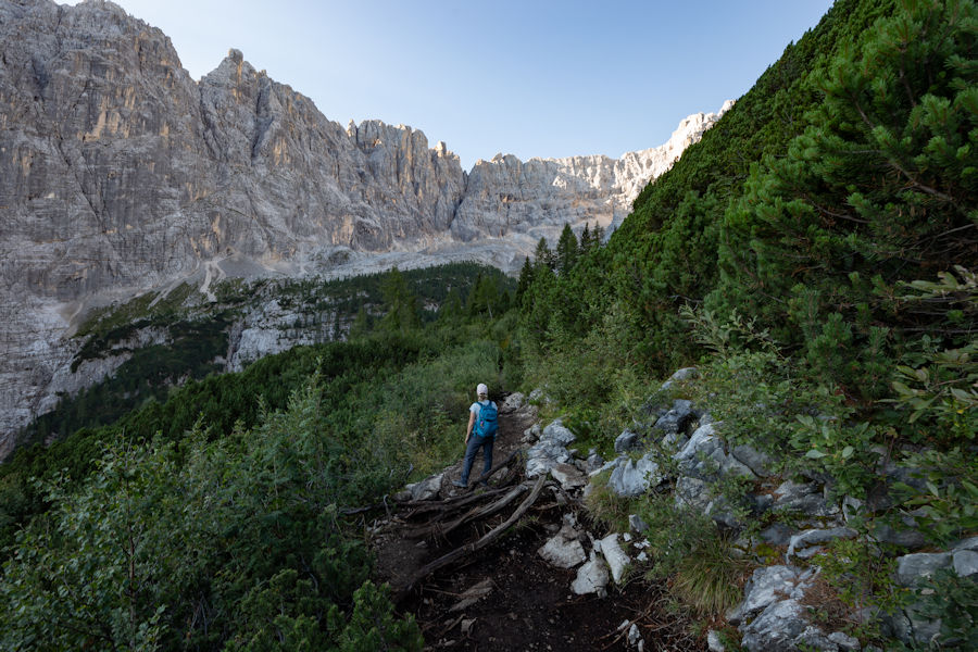
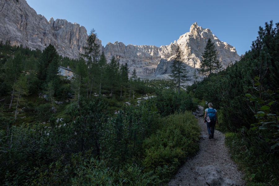
A nice cool start to the day amongst the trees.
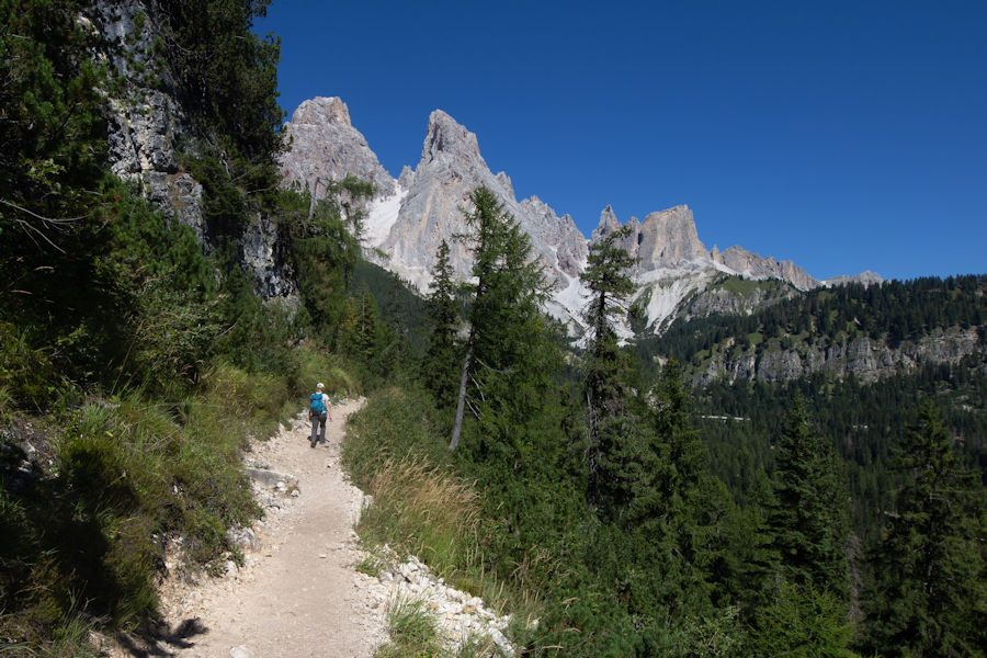
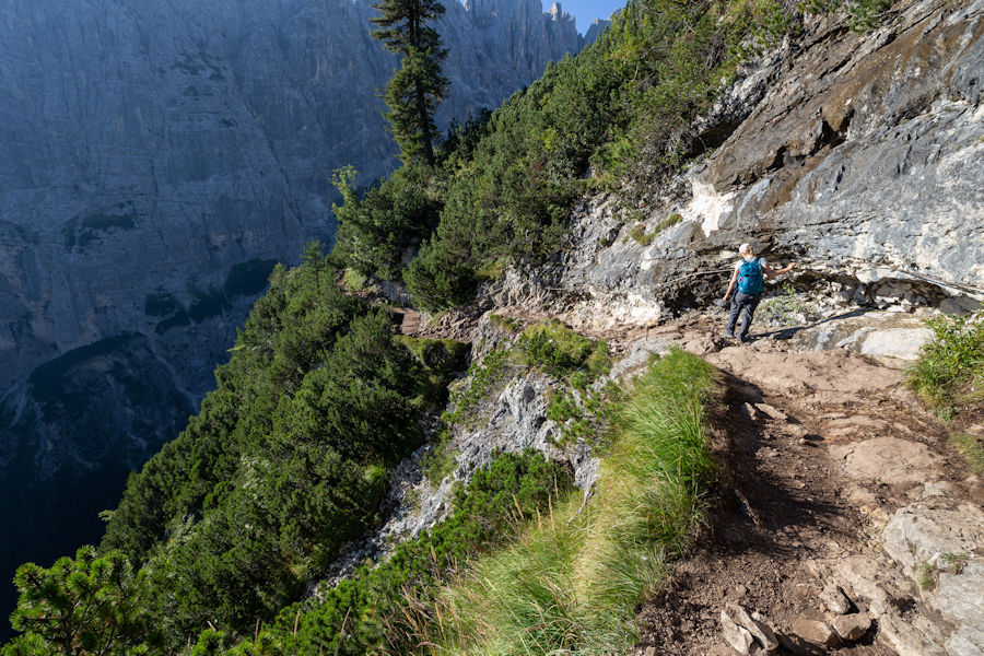
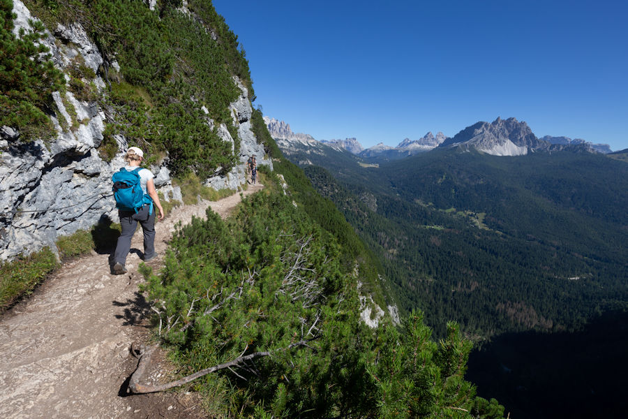
A gorgeous trail, hugging the side of the mountain.
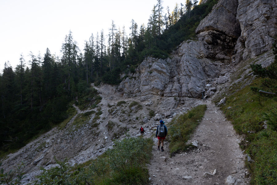
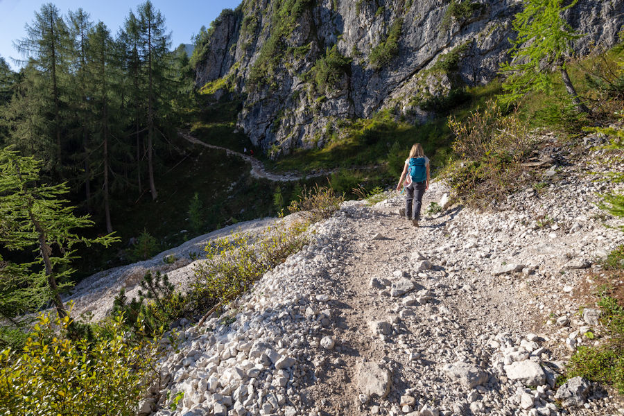
The occasional scree section, but easy obvious tracks.
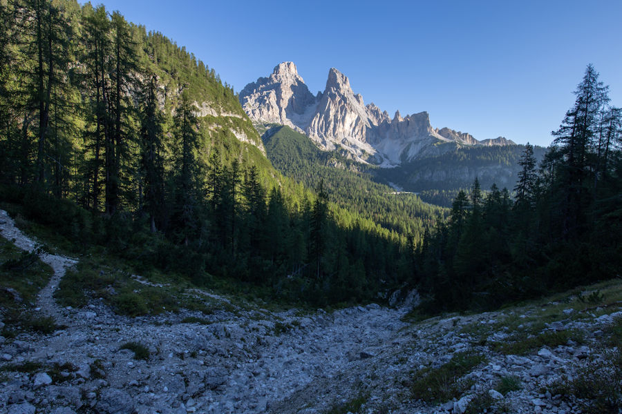
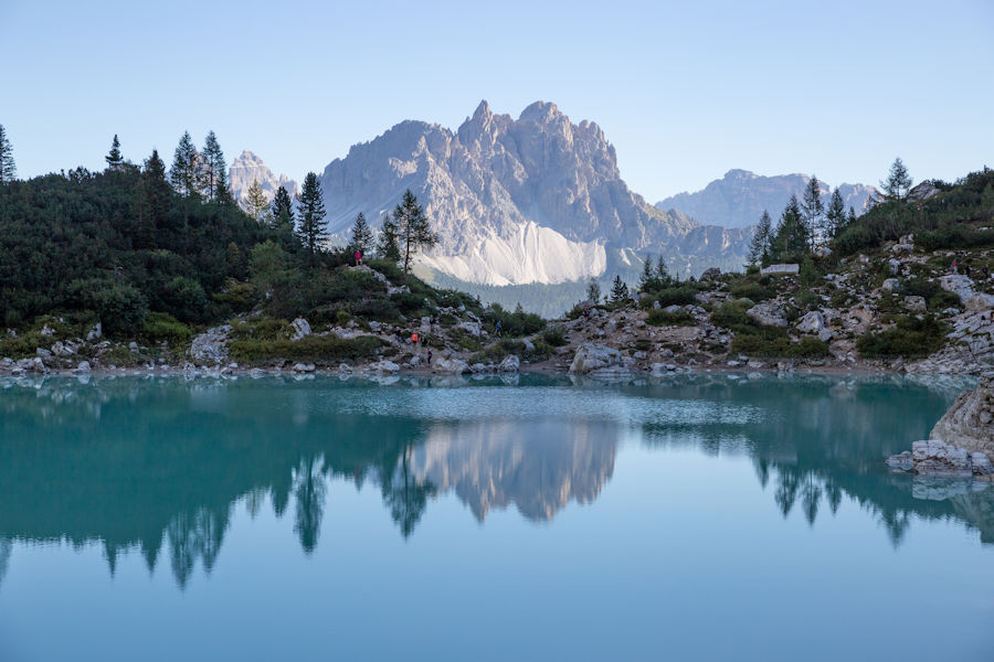
Not a cloud in the sky so far this morning. I know later I will appreciate to be back in shade like this.
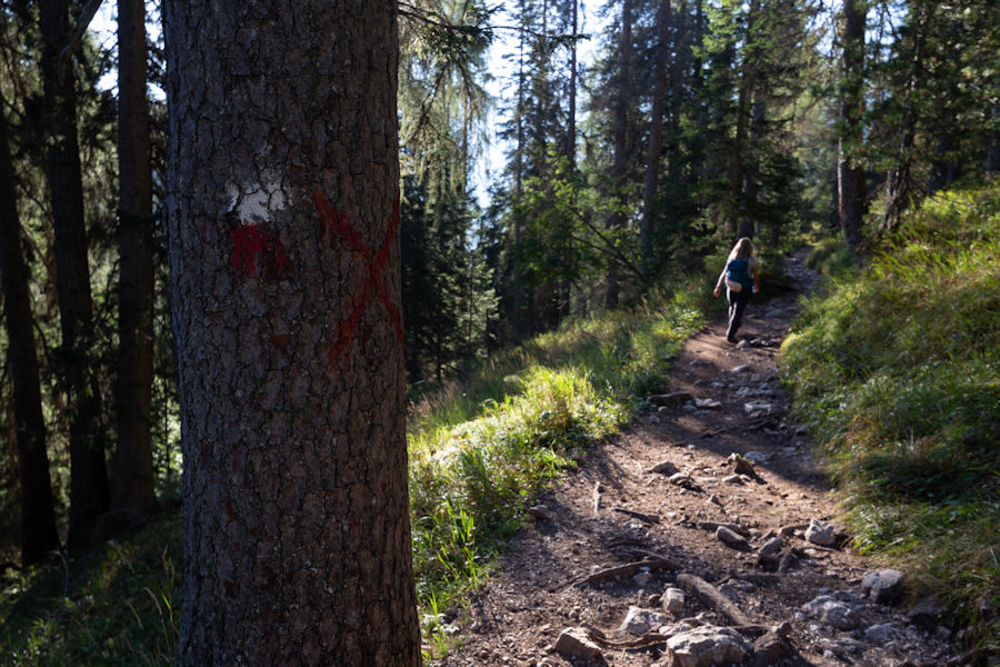
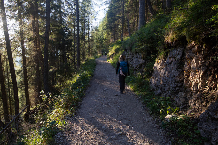
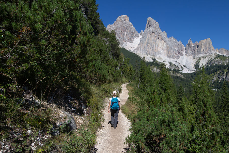
Still early morning, enjoying the pleasant trail.
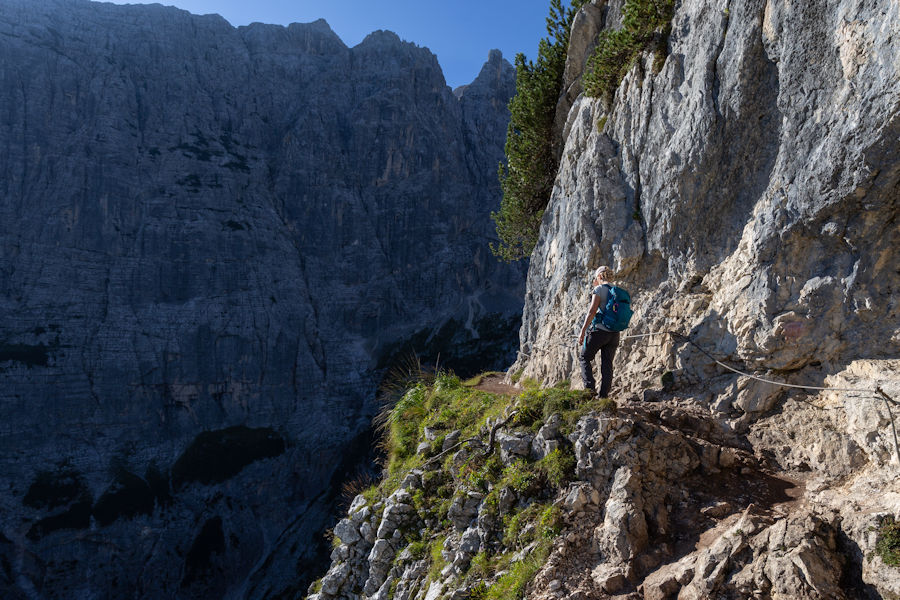
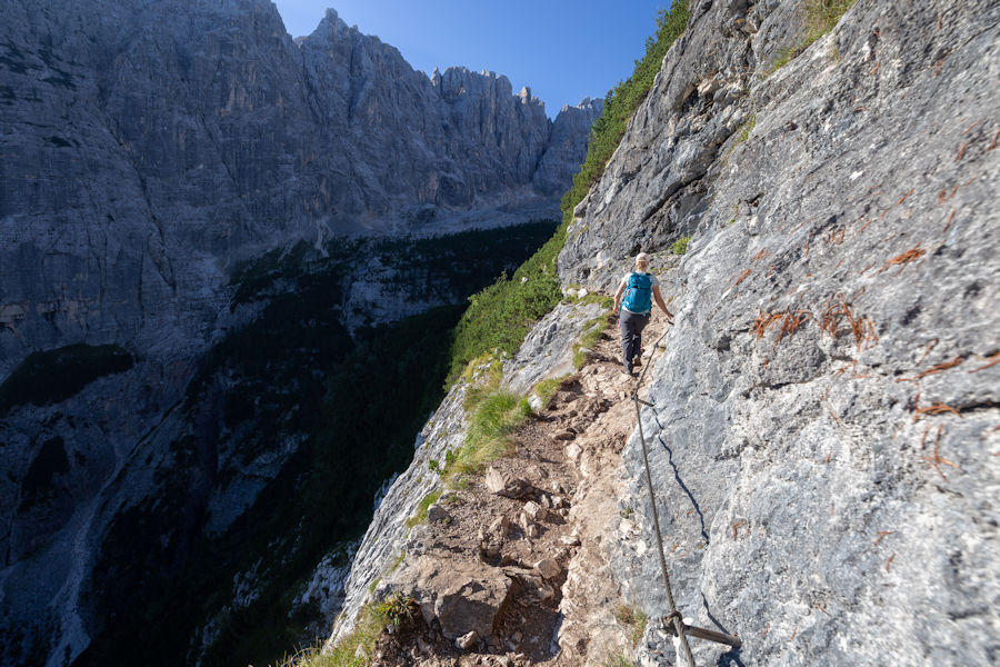
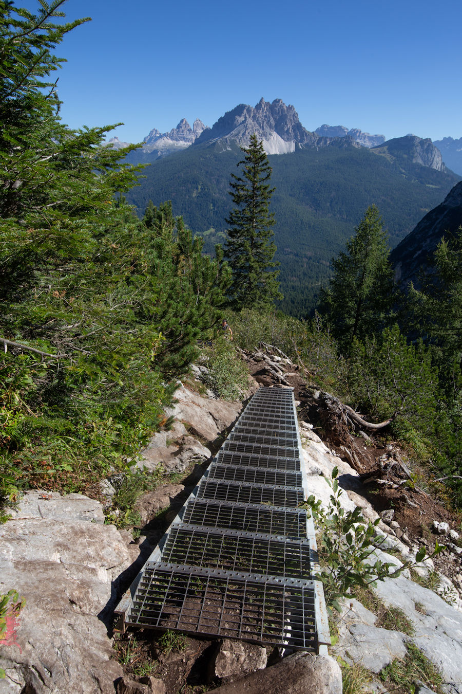
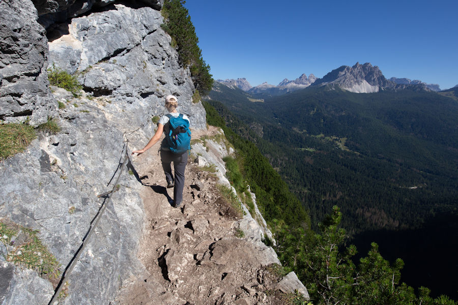
Starting to get a little exposure now as the scene opens up to a gorge. Appreciate the steps here and at other times too.
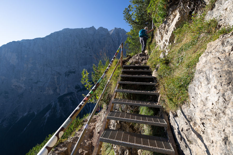
and now appreciating the cable. Not as bad as it looks. I recall only a couple of very brief sections where the exposure slows you down.
Another good thing about heading our early is that you don't have to negotiate too many people going in the opposite direction.
No escape from the sun here.
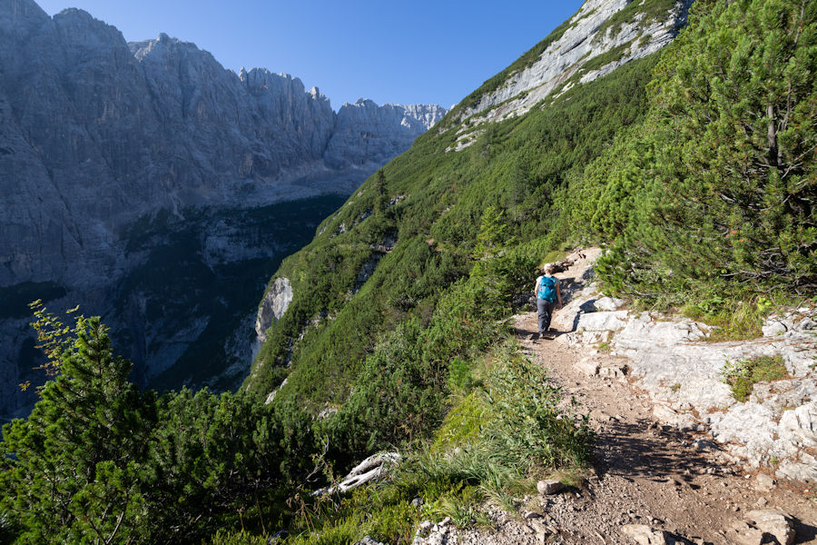
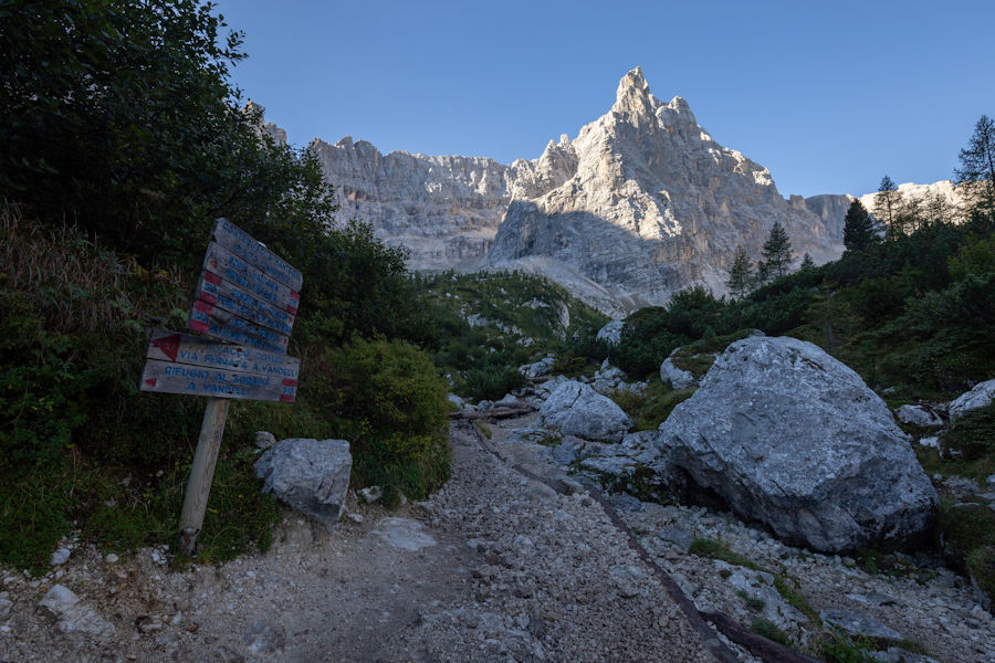
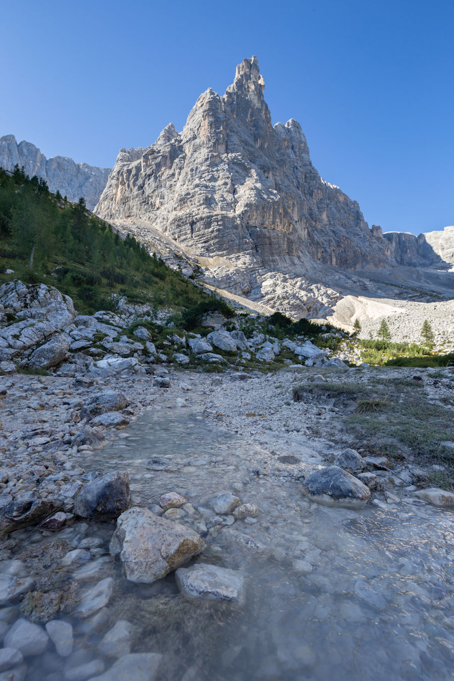
The terrain now opens out. Heading straight on.
Rifugio Vandelli in view
Left to Rifugio Vandelli or straight ahead to Lago di Sorapis.
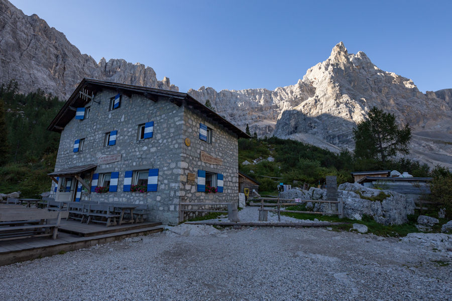
Rifugio Vandelli. Nice place for breakfast and a drink.
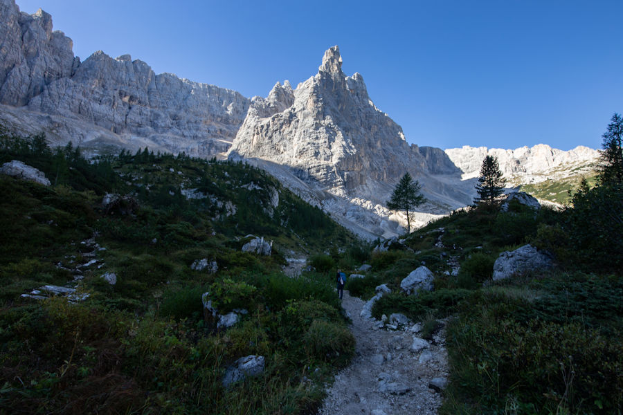
Refreshed and moving on to the lake.
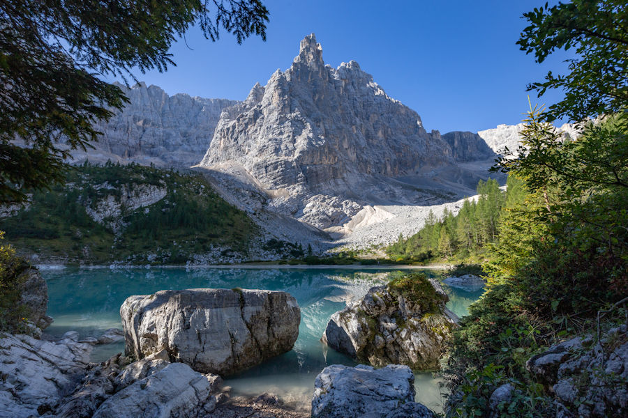
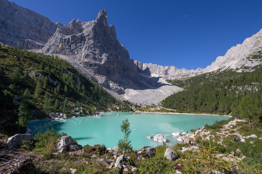
Lago di Sorapis. Famed for the color of it's water due to glacial dust.
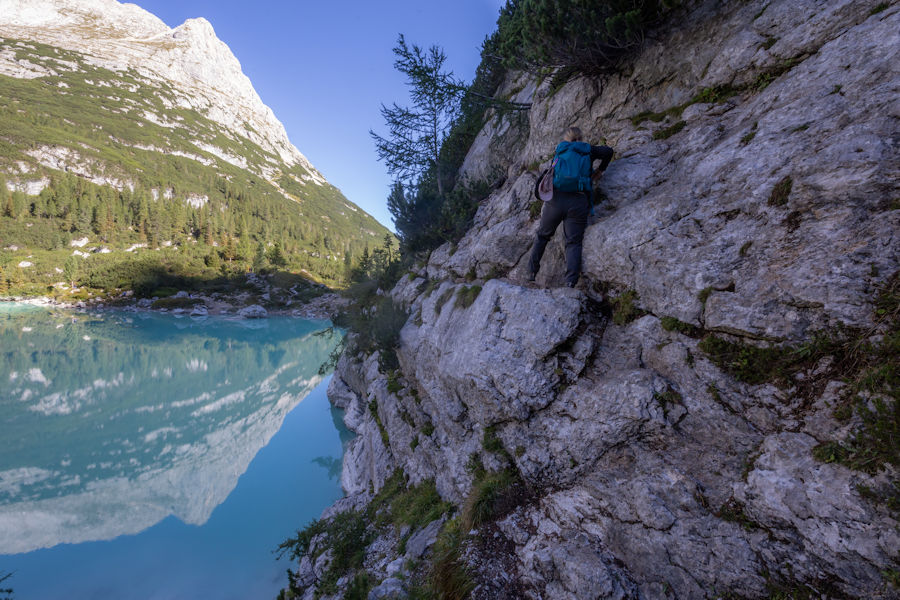
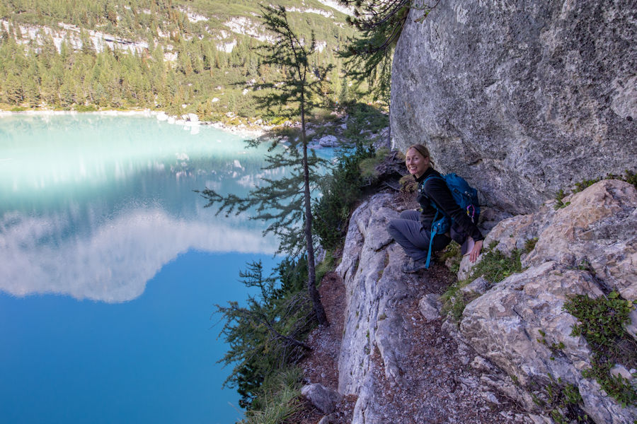
We did a loop around the lake in an anticlockwise direction. It started easy enough, until the scramble.
So there wasn't many people choosing to do the full loop due to this scramble being a little bit sketchy. We took our time though and got around unscathed. If doing the full loop, i'd say this way around is a bit safer to negotiate.
Loop complete. Absolutely gorgeous spot!
The GPS route I've attached will take you back a different way. We were feeling a little fatigued from the heat today and wanted to get back amongst the trees, so we headed back the way we came from.
Not disappointed by the decision to return this way.
Nearly back at the trail head now and it's only lunch time. What next?