
A Drei Zinnen Circuit (Dolomites)
DATE 03.09.2024 | DISTANCE approx 17.8KM approx | HIGHEST POINT 2565M
Posted by Matt | Filed under OTHER LOCATIONS
Download GPX file
Looking online, i found this route that would take in the tre cime lavaredo from a different angle to the year before but also visit some other high rifugios. It looked like a much quieter route that the one from rifugio auronzo, which we did last year and a bit more varied. Now comparing the two, i'd choose this as the better route.
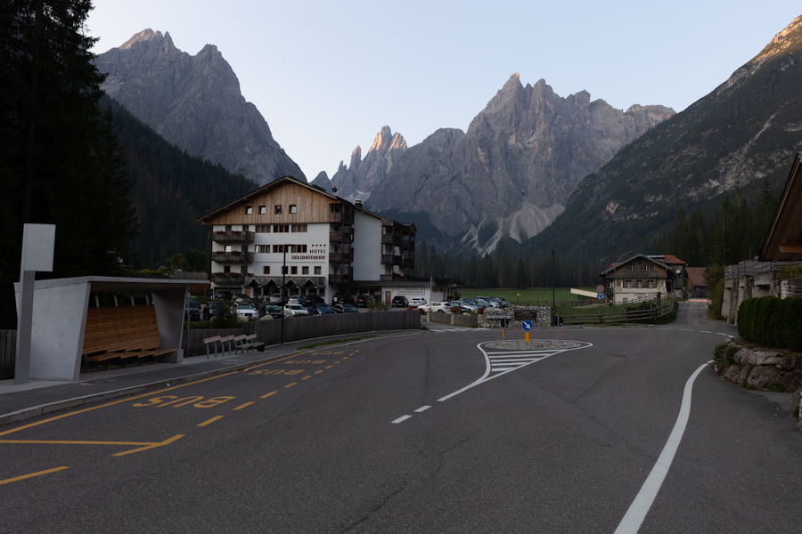
Starting nice and early from Parkplatz Fischleinbodenhütte, bolzano.
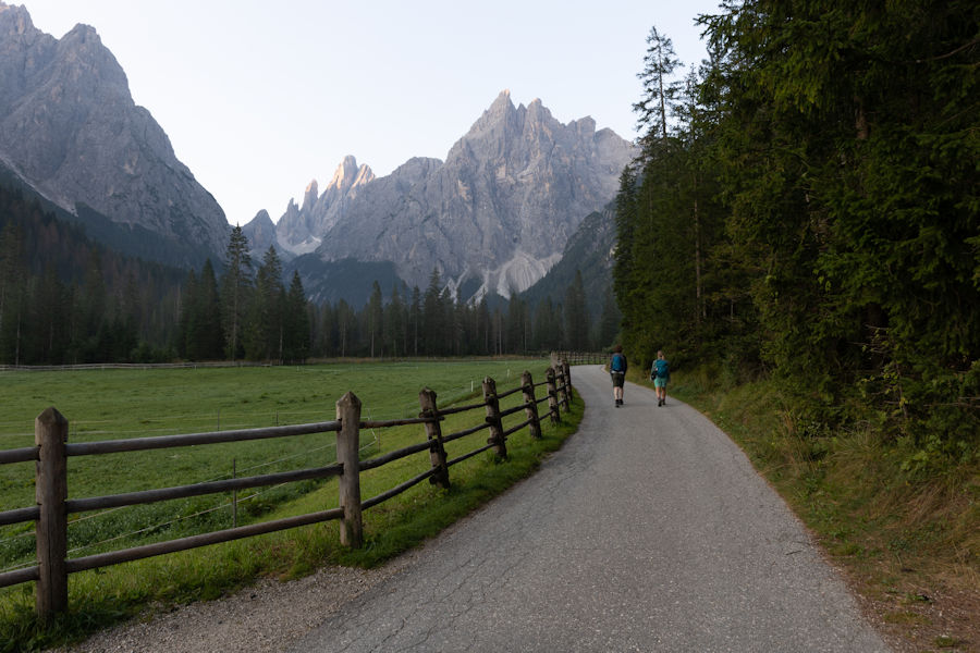
a really pleasant start to the morning, walking along footpaths and riverbeds through a small woodland.
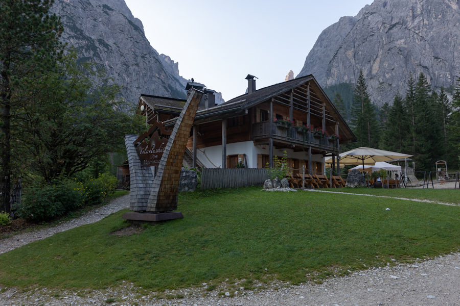
20 minutes in and we walked past this gorgeous rifugio. CHECK THEIR WEBSITE TO SEE MORE - Talschlusshütte / Rifugio Fondovalle - Val Fiscalina, Dolomites
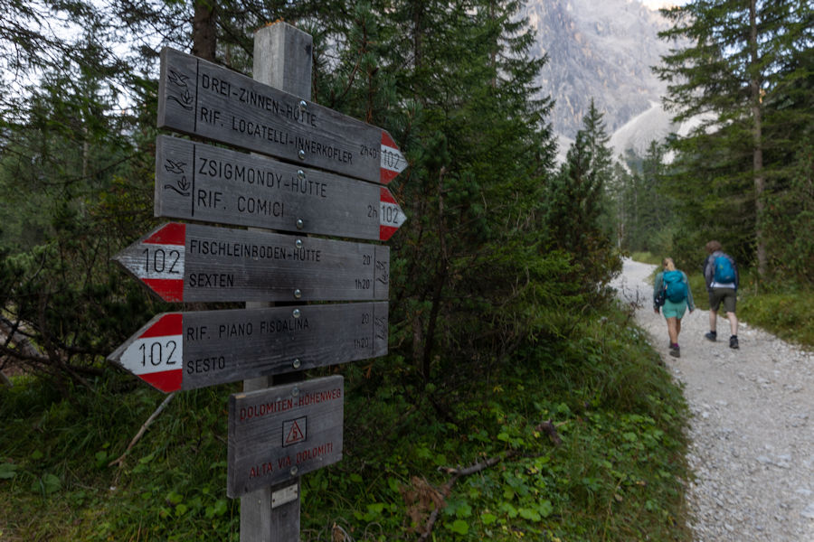
FOLLOWING ROUTE 102 TO DREI-ZINNEN-HUTTE
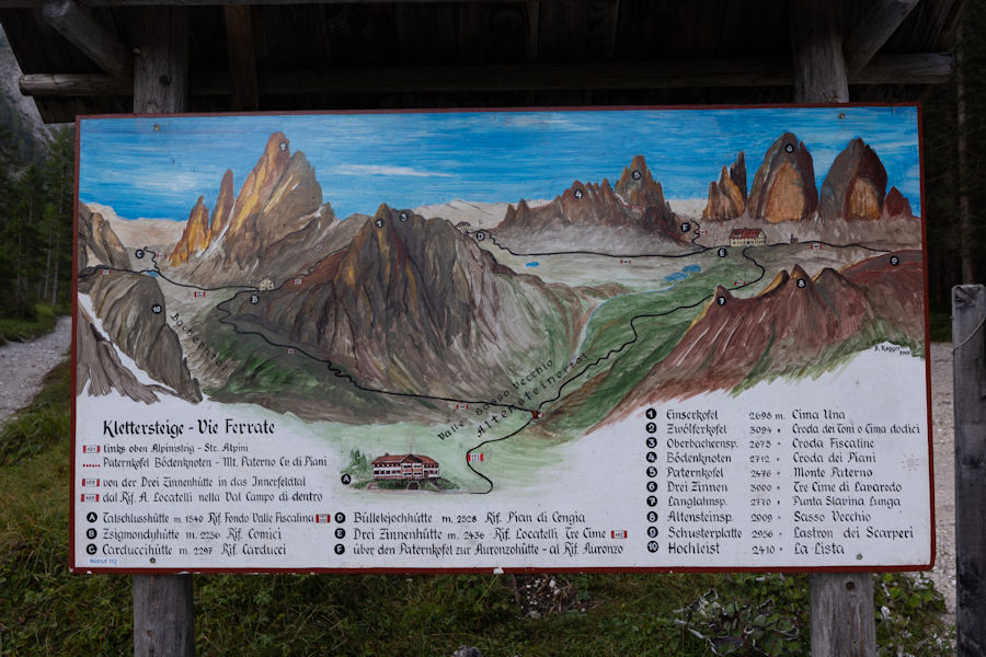
Here is our route laid out.
from the talschlusshutte at the bottom, aiming right to drei zinnen hutte. then heading left where you can just make out bullelejochhutte, down to zsigmonduhutte and back down. Then 15-20 mins to the car park.
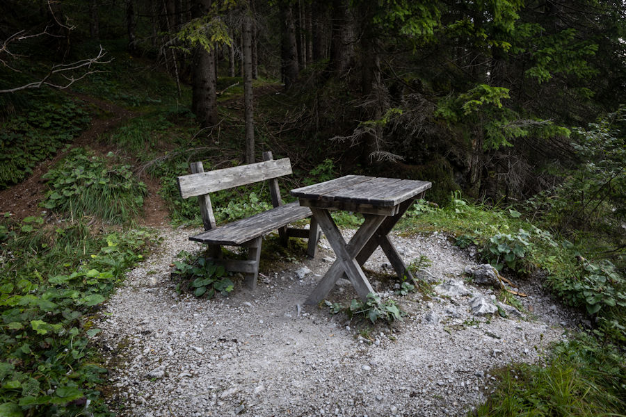
We saw a lot of these. a bench with a table. seems simple, but usually just a bench. This is extra inviting.
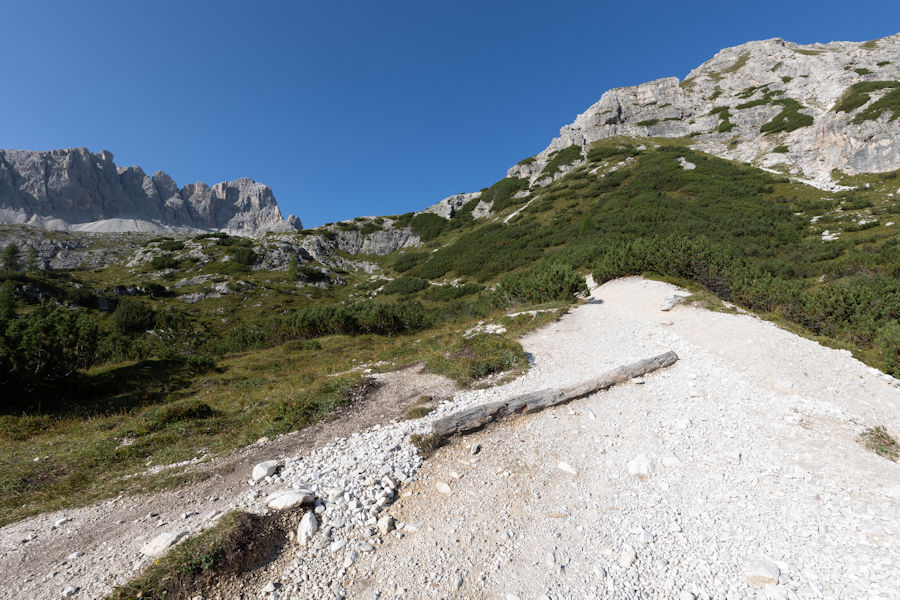
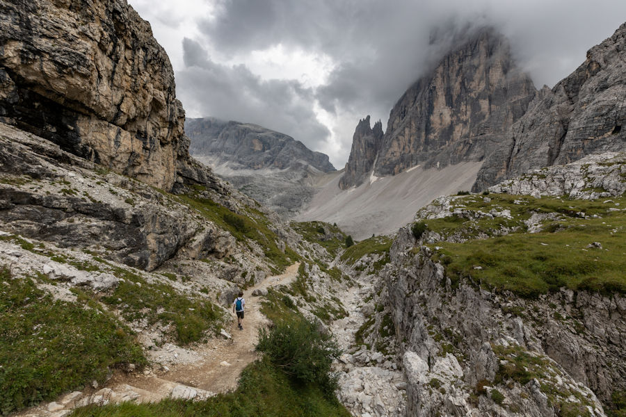
Heading along val fiscalina- alta via
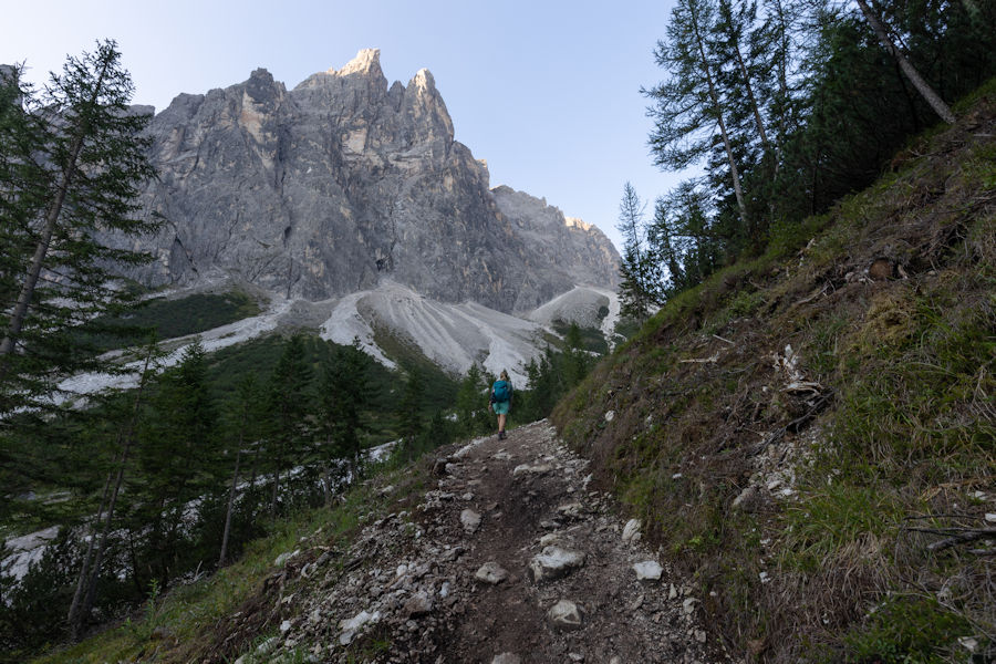
looking back to see the sun rising and breaking through the mountain peaks.
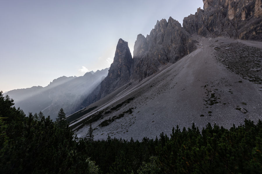
shaping up to be a lovely morning but rain was due, would you believe?
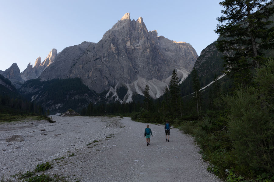
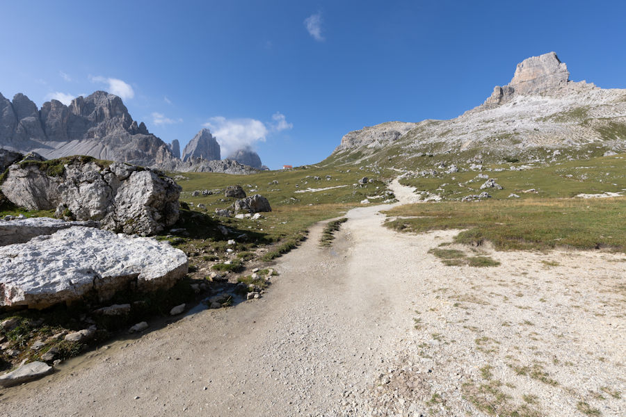
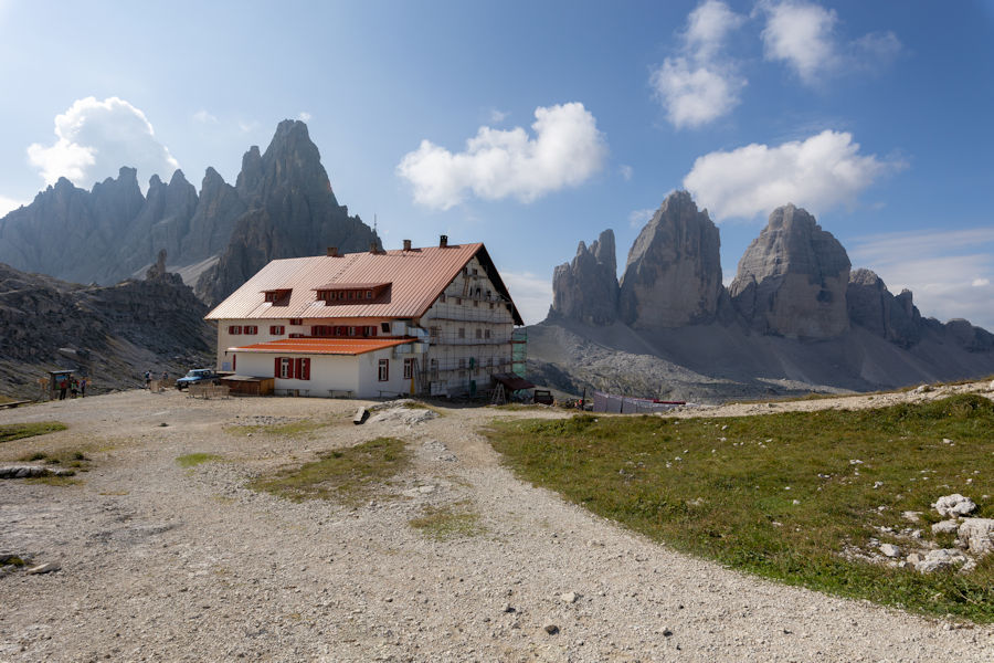
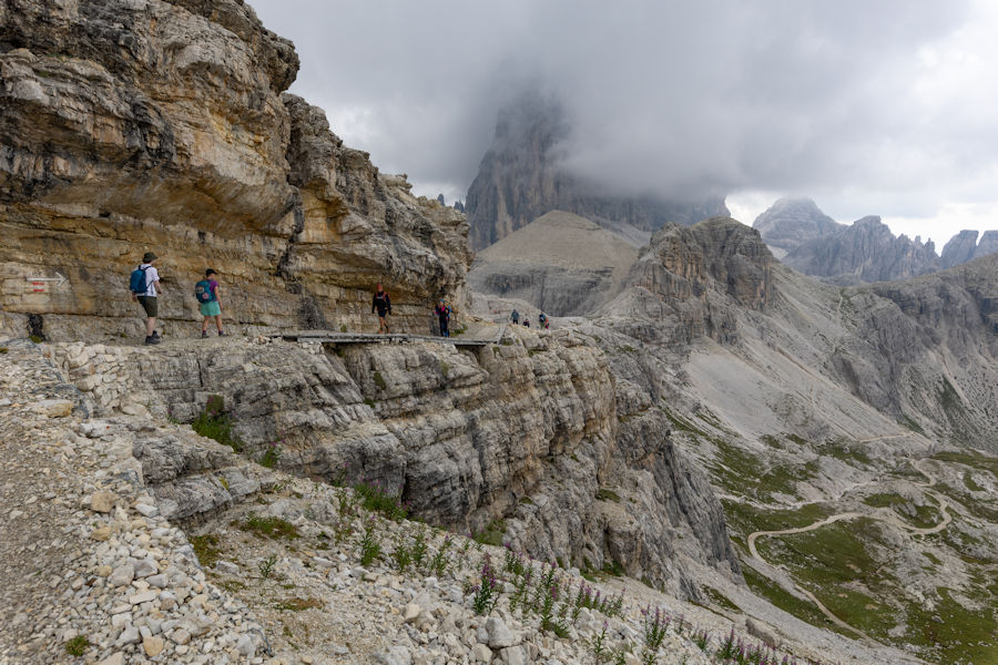
drei zinnen hutte in the distance and the first glimpse of tre cime di lavaredo.
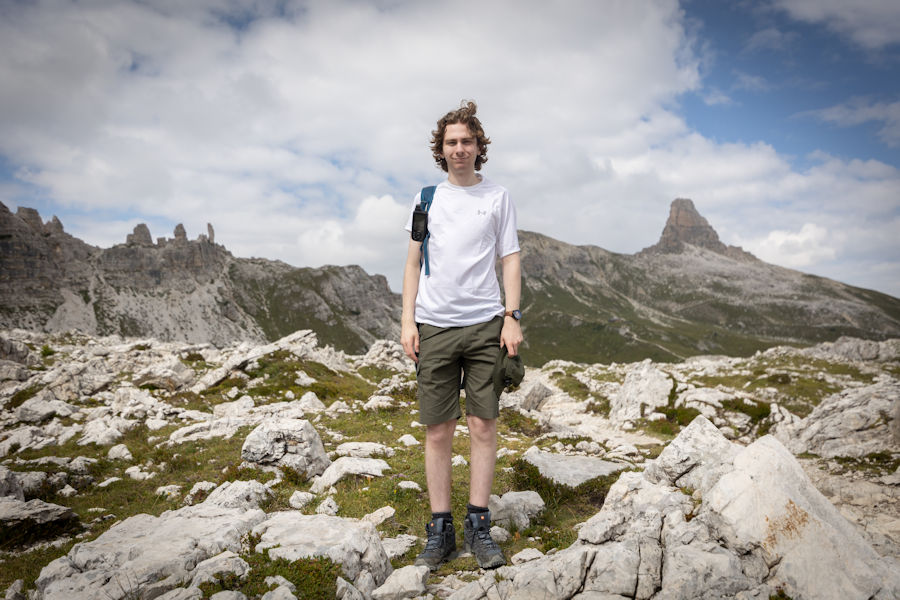
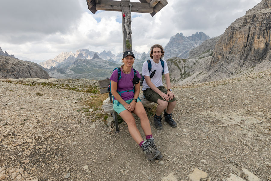
an unwell noah slowly catching up.
not sure on the purpose of this hut.
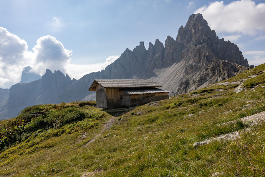
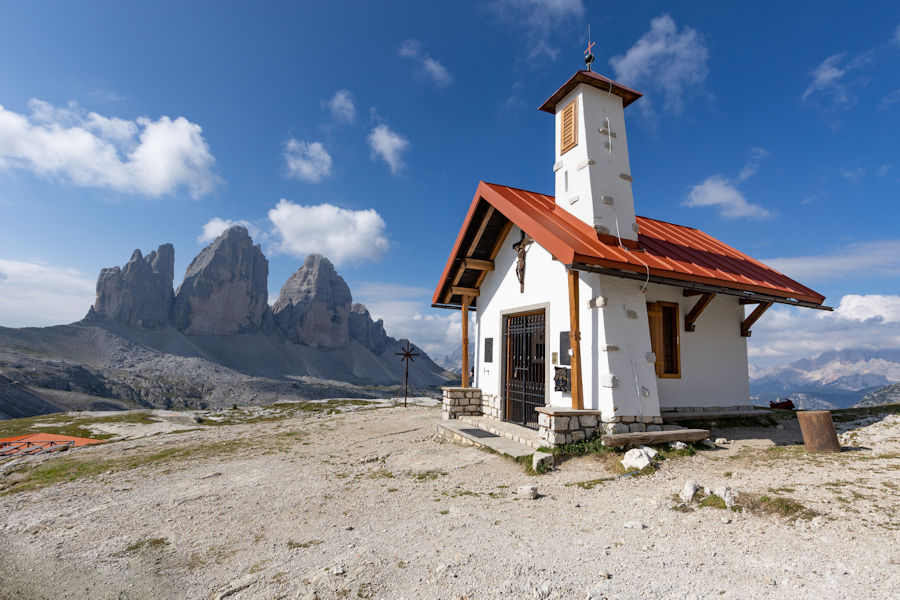
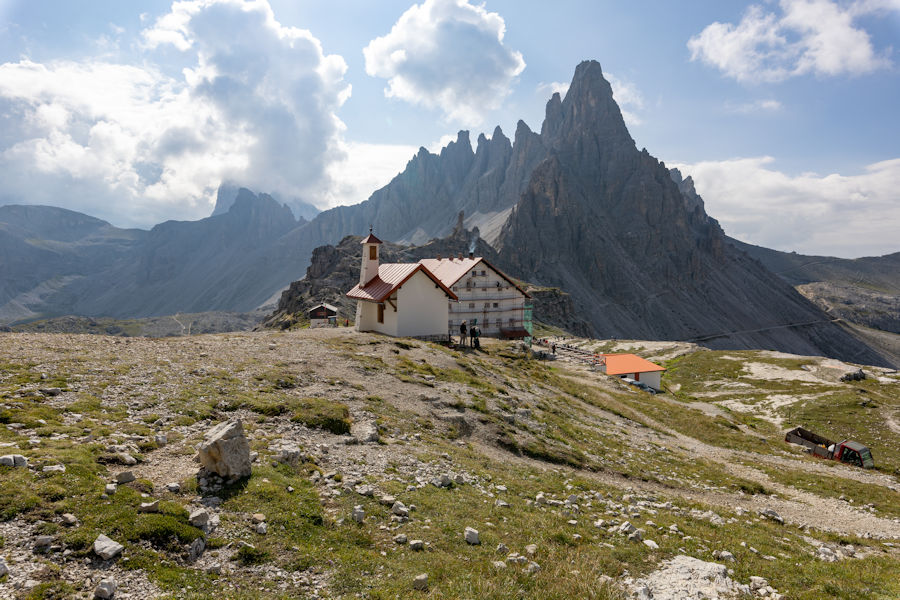
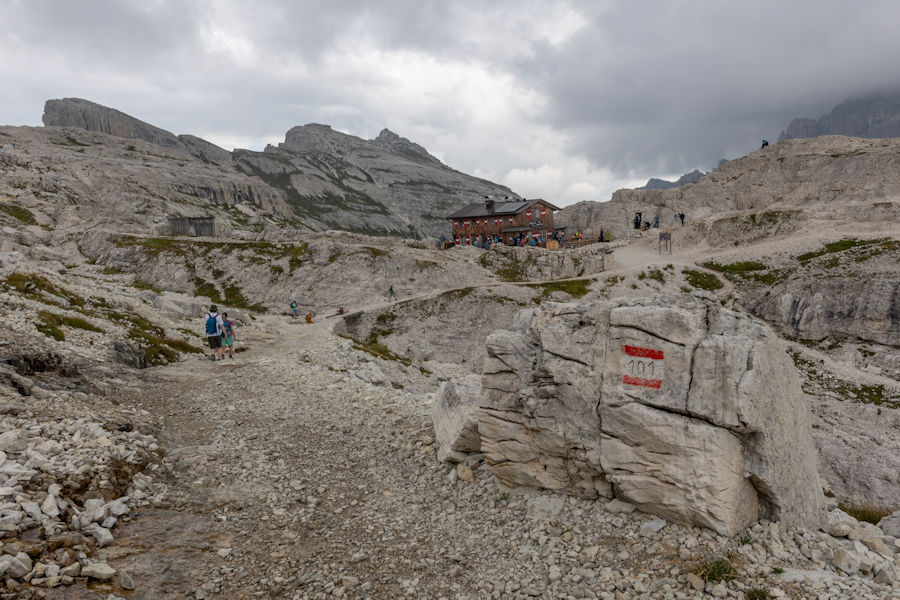
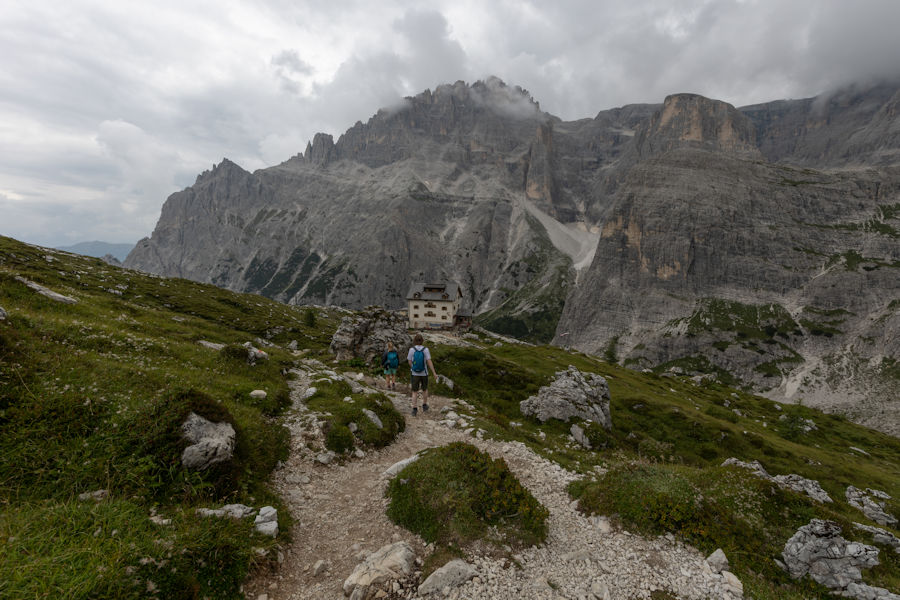
drei zinnen hutte and a very small church, CHIESETTA ALPINA.
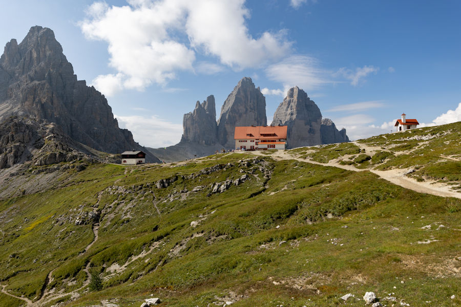
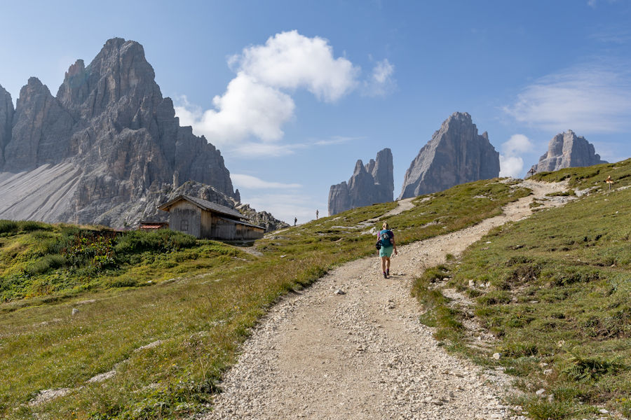
we hung around here for about an hour, enjoying the scenery and putting some fuel in the oven. This place gets pretty busy with all the hikers coming over from the other side , which is a far more popular start point at rifugio auronzo.
CHIESETTA ALPINA
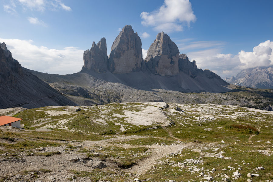
tre cime di lavaredo
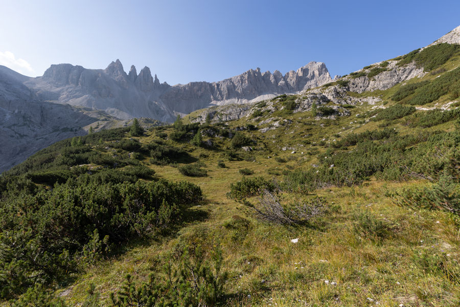
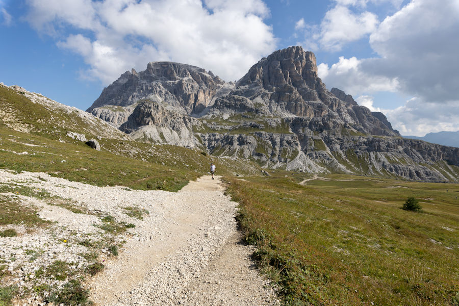
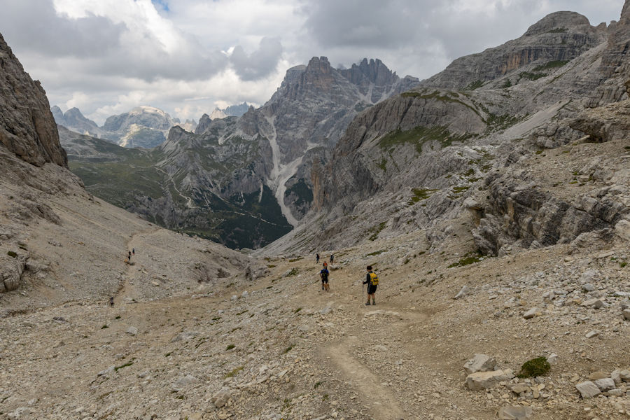
Following a trail heading east. this section with next to little vegitation is pretty rugged ans dramatic.
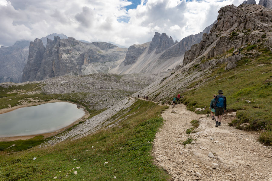
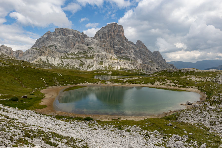
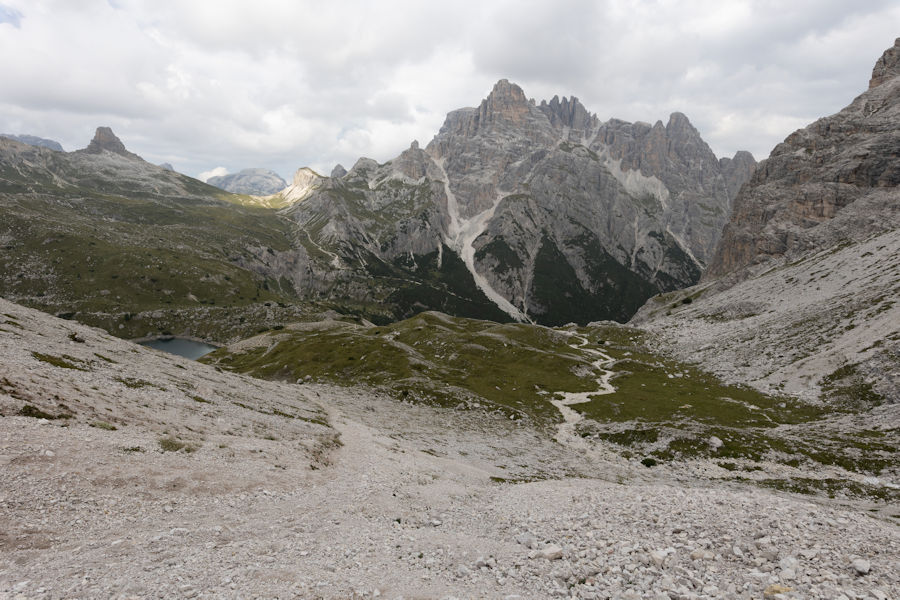
Laghi dei Piani.
noah feeling better after the fuel stop.
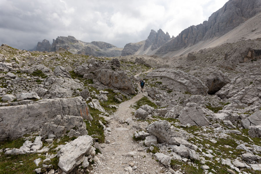
a steep scree climb ahead.
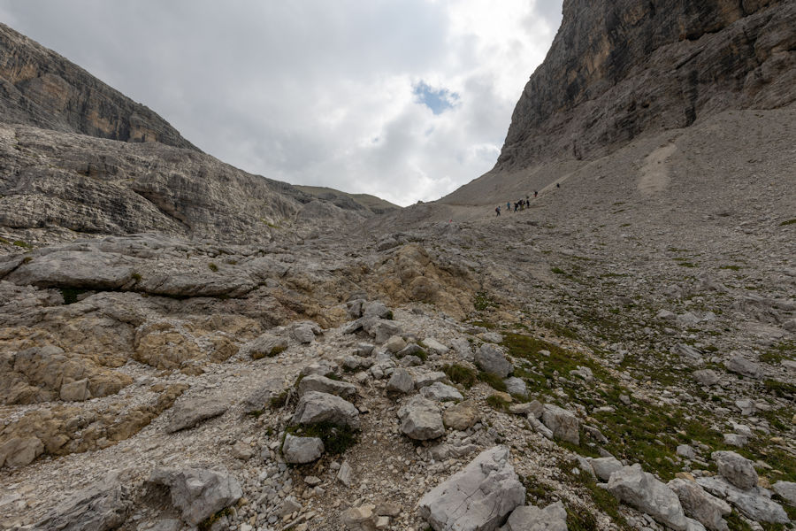
looking back, whilst catching my breath.
starting to get cloudy now, the rain forecast could be accurate.
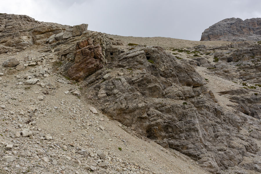
just make out a world war fortification.
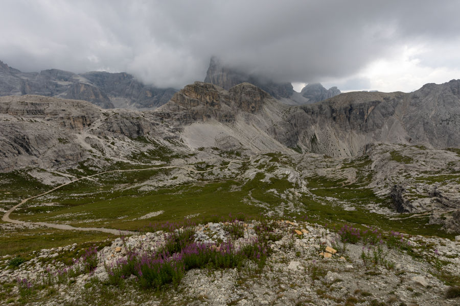
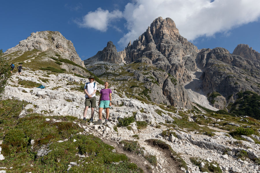
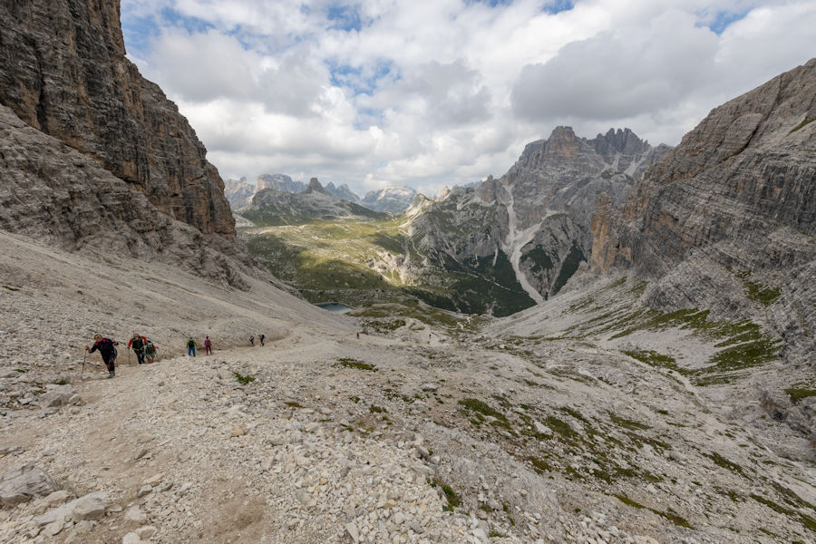
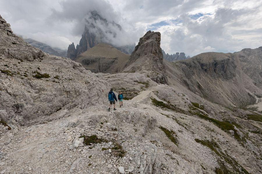
some real dramatic views along this hike. already decided i'll do this again.
next hut. time for some strudel at bullelejochhutte. surprising how good the food is at such a hard to reach location.
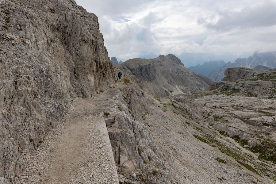
The effort to make ledges like this is hard to comprehend. especially when you think that the dolomites are littered with them.
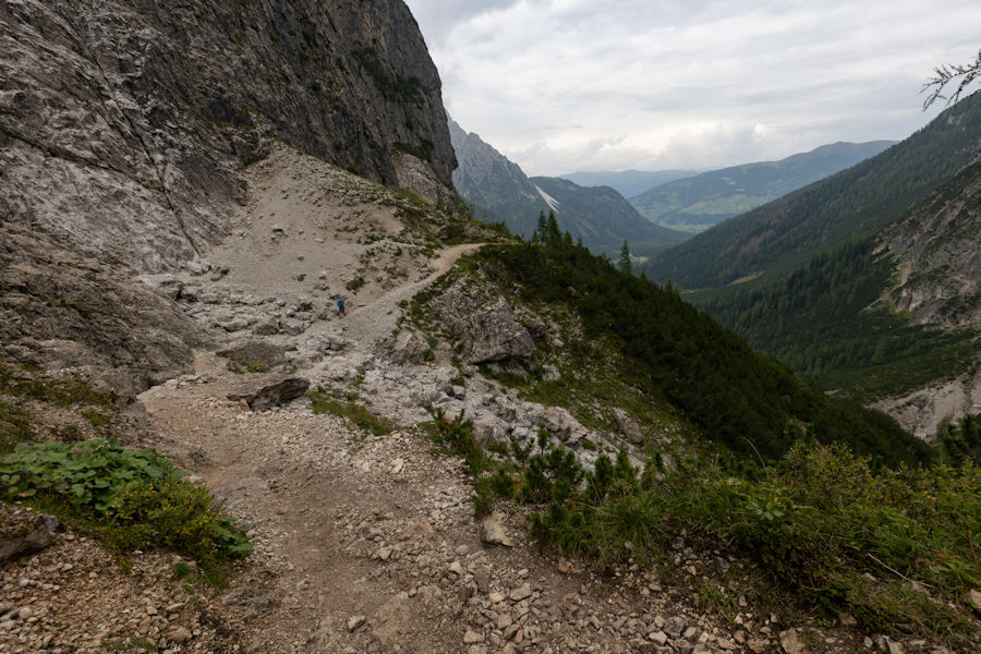
zsigmonduhutte. we didn't really stop here as it looked like it was close to raining.
from the last hutte onwards, it was raining heavily, so put the camera away. this was the last shot of the day, about 45 minutes from reaching talschlusshutte.
See some of my drone footage from this trip
